
1949 Map of Bartow
USGS Topo · Published 1964About this map
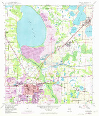
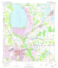
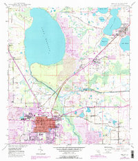
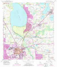
Bartow anchors this post-war landscape at a time when phosphate extraction was radically reshaping the terrain of Polk County. Extensive strip mine areas and specialized infrastructure like a Hydro Separator and Gaging Sta along the Peace River illustrate the industrial intensity of the era. The map documents the city's established core, including landmarks such as Union Academy, Summerlain Institute, and the Municipal Golf Course.
Find a feature on this map
60 named features on this map. Tap any name to fly to it.
Don’t see what you’re looking for? This feature index may not catch every label — zoom into the map to look around manually.
Map Details
Editions of this 1949 Bartow Map
5 editions found
Other maps of this area

1944 · Lakeland
USGS Topo · 1:31,680

1944 · Auburndale
USGS Topo · 1:31,680

1949 · Mulberry
USGS Topo · 1:24,000

1949 · Bradley Junction
USGS Topo · 1:24,000

1950 · Mulberry
USGS Topo · 1:24,000

1950 · Bartow
USGS Topo · 1:24,000

1950 · Bradley Junction
USGS Topo · 1:24,000

1952 · Homeland
USGS Topo · 1:24,000

1955 · Eloise
USGS Topo · 1:24,000

1955 · Alturas
USGS Topo · 1:24,000