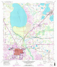
1949 Map of Bartow
USGS Topo · Published 1988About this map
The Peace River and the sprawling waters of Lake Hancock dominate this landscape, illustrating the heavy industrial and civic footprint of mid-century Polk County. The city of Bartow is the central hub, showing a dense grid of streets that include the Summerlin Institute, Union Academy, and a dedicated Home for the Aged. The transition in land use is starkly visible through the extensive Reclaimed Strip Mine areas and active strip mines that border the Peace Creek and Saddle Creek drainage systems.
Find a feature on this map
54 named features on this map. Tap any name to fly to it.
Don’t see what you’re looking for? This feature index may not catch every label — zoom into the map to look around manually.
Map Details
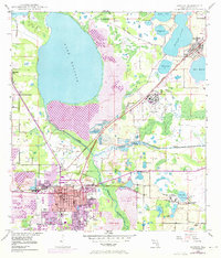
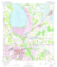
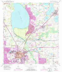
Editions of this 1949 Bartow Map
5 editions found
Other maps of this area

1944 · Lakeland
USGS Topo · 1:31,680

1944 · Auburndale
USGS Topo · 1:31,680

1949 · Mulberry
USGS Topo · 1:24,000

1949 · Bartow
USGS Topo · 1:24,000

1949 · Bradley Junction
USGS Topo · 1:24,000

1950 · Mulberry
USGS Topo · 1:24,000

1950 · Bartow
USGS Topo · 1:24,000

1950 · Bradley Junction
USGS Topo · 1:24,000

1952 · Homeland
USGS Topo · 1:24,000

1955 · Eloise
USGS Topo · 1:24,000