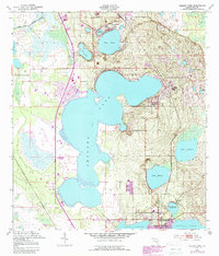
1952 Map of Babson Park
USGS Topo · Published 1988About this map
Crooked Lake dominates this central Florida landscape, surrounded by a cluster of mid-century citrus-belt settlements. The development pattern of the early 1950s is evident in the residential layouts of Babson Park and Hillcrest Heights, while the northern edge of Frostproof shows the community's orientation toward both Lake Clinch and Reedy Lake. Beyond the larger towns, smaller enclaves like Highland Park and Crooked Lake Park highlight the region's post-war residential expansion.
Find a feature on this map
20 named features on this map. Tap any name to fly to it.
Don’t see what you’re looking for? This feature index may not catch every label — zoom into the map to look around manually.
Map Details
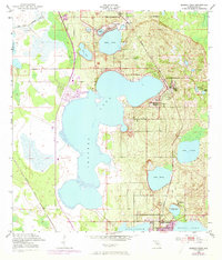
Editions of this 1952 Babson Park Map
3 editions found
Other maps of this area

1952 · Lake Wales
USGS Topo · 1:24,000

1952 · Babson Park
USGS Topo · 1:24,000

1952 · Hesperides
USGS Topo · 1:24,000

1952 · Lake Arbuckle
USGS Topo · 1:24,000

1952 · Lake Weohyakapka
USGS Topo · 1:24,000

1953 · Frostproof
USGS Topo · 1:24,000

1955 · Eloise
USGS Topo · 1:24,000

1955 · Alturas
USGS Topo · 1:24,000

1956 · Bereah
USGS Topo · 1:24,000

1956 · Fort Pierce
USGS Topo · 1:250,000