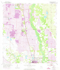
1952 Map of Homeland
USGS Topo · Published 1973About this map
The Peace River dominates the central corridor of this Florida landscape, which is defined by the heavy industrial footprint of phosphate mining during the mid-20th century. Extensive Strip Mine operations and a large Mine Dump surround the established communities of Homeland and Fort Meade. The infrastructure of the era is clearly visible, from the Seaboard Coast Line railroad to the Noralyn Mine complex, illustrating the region's total immersion in the mining economy.
Find a feature on this map
21 named features on this map. Tap any name to fly to it.
Don’t see what you’re looking for? This feature index may not catch every label — zoom into the map to look around manually.
Map Details
Editions of this 1952 Homeland Map
5 editions found
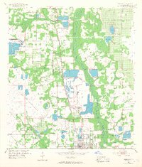
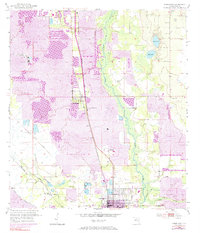
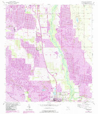
Other maps of this area

1949 · Mulberry
USGS Topo · 1:24,000

1949 · Bartow
USGS Topo · 1:24,000

1949 · Bradley Junction
USGS Topo · 1:24,000

1950 · Mulberry
USGS Topo · 1:24,000

1950 · Bartow
USGS Topo · 1:24,000

1950 · Bradley Junction
USGS Topo · 1:24,000

1952 · Homeland
USGS Topo · 1:24,000

1955 · Eloise
USGS Topo · 1:24,000

1955 · Bowling Green
USGS Topo · 1:24,000

1955 · Baird
USGS Topo · 1:24,000