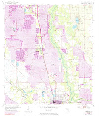
1952 Map of Homeland
USGS Topo · Published 1984About this map
Peace River meanders through the center of this landscape, marking a sharp contrast between the natural wetlands and the massive industrial footprint of phosphate mining. Extensive Strip Mine operations and the Noralyn Mine dominate the western and eastern portions of the quadrangle, characterized by large excavation areas and a Mine Dump. The established settlements of Homeland, Pembroke, and the northern edge of Fort Meade are positioned along the rail corridors, where the Seaboard Coast Line and various industrial spurs, such as the Swift and Co Private RR, facilitated the movement of extracted minerals. Genealogy interest is anchored by several local burial grounds, including Peace Creek Cem, Hancock Cem, and Evergreen Cem. Notable cultural landmarks of the mid-century era, like the Drive-in Theater near the highway, appear alongside hydraulic infrastructure such as the Levee system protecting the river basin.
Find a feature on this map
23 named features on this map. Tap any name to fly to it.
Don’t see what you’re looking for? This feature index may not catch every label — zoom into the map to look around manually.
Map Details
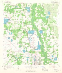
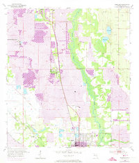
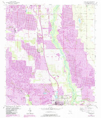
Editions of this 1952 Homeland Map
5 editions found
Other maps of this area

1949 · Mulberry
USGS Topo · 1:24,000

1949 · Bartow
USGS Topo · 1:24,000

1949 · Bradley Junction
USGS Topo · 1:24,000

1950 · Mulberry
USGS Topo · 1:24,000

1950 · Bartow
USGS Topo · 1:24,000

1950 · Bradley Junction
USGS Topo · 1:24,000

1952 · Homeland
USGS Topo · 1:24,000

1955 · Eloise
USGS Topo · 1:24,000

1955 · Bowling Green
USGS Topo · 1:24,000

1955 · Baird
USGS Topo · 1:24,000