Loading...
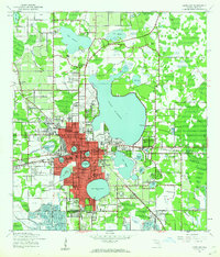
Loading map...1944 Map of Lakeland
USGS Topo · Published 1962About this map
Lakeland sits at the center of a dense lacustrine landscape, defined by dozens of named water bodies like Lake Parker, Lake Hollingsworth, and Lake Bonny. During the mid-1940s, the city's grid was already well-established, punctuated by landmarks such as the Florida Southern College campus and the Lakeland Airport. The surrounding countryside reveals the early industrial footprint of the region, where numerous Strip Mines are mapped near Eaton Park and Winston, signaling the importance of phosphate mining to the local economy.
Find a feature on this map
42 named features on this map. Tap any name to fly to it.
Don’t see what you’re looking for? This feature index may not catch every label — zoom into the map to look around manually.
Map Details
Date Portrayed1944
Date Published1962
PublisherU.S. Geological Survey
Map TypeTopographic
Scale1:24000
Physical Dimensions22.9 x 26.8 inches
Editions of this 1944 Lakeland Map
2 editions found

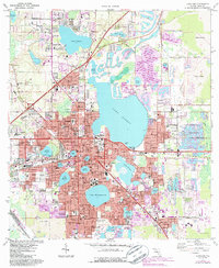
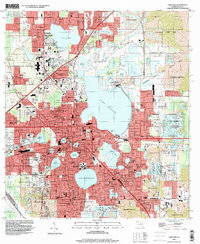
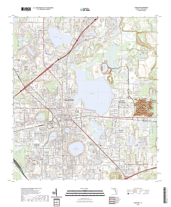
Historical Maps of Lakeland Through Time
4 maps found
Featured Locations
Source Details
SourceU.S. Geological Survey
CopyrightPublic Domain