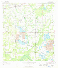
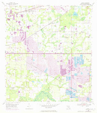
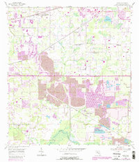
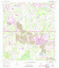
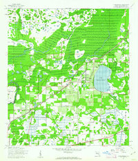
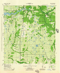
1955 Map of Dover
USGS Topo · Published 1956About this map
Dover and the surrounding agricultural and industrial lands of Hillsborough County are captured here during a period of significant landscape transformation. The northern half of the map centers on the rail-based settlements of Sydney and Dover along the Atlantic Coast Line and Seaboard Air Line railroads, where small-town life is marked by community landmarks like the Turkey Creek School and the Turkey Creek Church.
Find a feature on this map
30 named features on this map. Tap any name to fly to it.
Don’t see what you’re looking for? This feature index may not catch every label — zoom into the map to look around manually.
Map Details
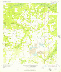
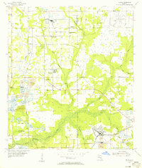
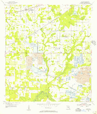
Editions of this 1955 Dover Map
5 editions found
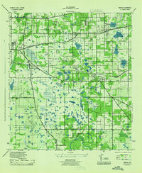
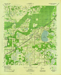
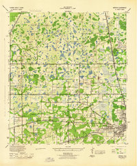
Other maps of this area

1921 · Tampa
USGS Topo · 1:62,500
1943 · Thonotosassa
USGS Topo · 1:24,000

1944 · Plant City
USGS Topo · 1:31,680
1944 · Mango
USGS Topo · 1:31,680
1944 · Thonotosassa
USGS Topo · 1:31,680
1944 · Antioch
USGS Topo · 1:31,680
1944 · Balm
USGS Topo · 1:31,680
1955 · Lithia
USGS Topo · 1:24,000
1955 · Nichols
USGS Topo · 1:24,000
1955 · Dover
USGS Topo · 1:24,000