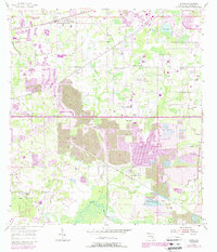
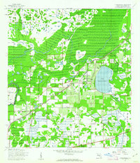
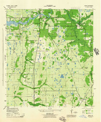
1955 Map of Dover
USGS Topo · Published 1987About this map
The landscape of eastern Hillsborough County underwent a visible transformation by the mid-1950s, as agricultural settlements like Sydney and Dover were increasingly defined by industrial extraction. Large swaths of land are marked as Strip Mines, with later updates showing the extensive Reclaimed Strip Mine areas that characterize the region's phosphate mining history. These industrial zones exist alongside established community landmarks, including Dover Ch and the Trapnell Sch.
Find a feature on this map
29 named features on this map. Tap any name to fly to it.
Don’t see what you’re looking for? This feature index may not catch every label — zoom into the map to look around manually.
Map Details
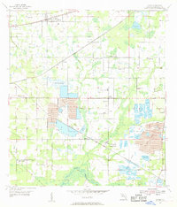
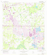
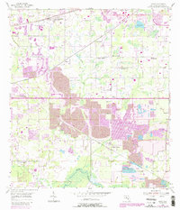
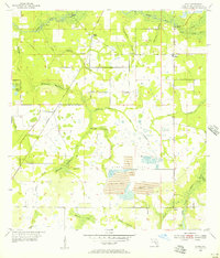
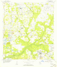
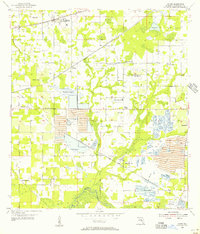
Editions of this 1955 Dover Map
5 editions found
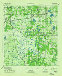
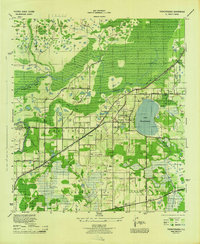
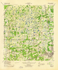
Other maps of this area

1921 · Tampa
USGS Topo · 1:62,500
1943 · Thonotosassa
USGS Topo · 1:24,000

1944 · Plant City
USGS Topo · 1:31,680
1944 · Mango
USGS Topo · 1:31,680
1944 · Thonotosassa
USGS Topo · 1:31,680
1944 · Antioch
USGS Topo · 1:31,680
1944 · Balm
USGS Topo · 1:31,680
1955 · Lithia
USGS Topo · 1:24,000
1955 · Nichols
USGS Topo · 1:24,000
1955 · Dover
USGS Topo · 1:24,000