
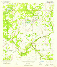
1956 Map of Ft Lonesome
USGS Topo · Published 1957About this map
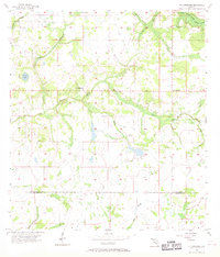
Ft Lonesome serves as a central landmark in this mid-century portrait of south-central Florida, situated where the drainage basins of the South Prong Alafia River and the Little Manatee River begin to diverge. The landscape is defined by its intricate network of prairie branches and creeks, such as Alderman Creek and Howard Prairie Branch, which weave through the low-lying terrain. This period shows a sparsely settled region transition between the county lines of Hillsborough Co and Manatee Co.
Find a feature on this map
17 named features on this map. Tap any name to fly to it.
Don’t see what you’re looking for? This feature index may not catch every label — zoom into the map to look around manually.
Map Details
Editions of this 1956 Ft Lonesome Map
4 editions found
Other maps of this area

1921 · Tampa
USGS Topo · 1:62,500

1944 · Rye
USGS Topo · 1:31,680

1944 · Wimauma
USGS Topo · 1:31,680

1944 · Balm
USGS Topo · 1:31,680

1947 · Wimauma
USGS Topo · 1:25,000

1955 · Lithia
USGS Topo · 1:24,000

1955 · Keysville
USGS Topo · 1:24,000
1956 · Riverview
USGS Topo · 1:24,000

1956 · Duette NE
USGS Topo · 1:24,000
1956 · Wimauma
USGS Topo · 1:24,000
Featured Places
- Alderman-Carlton Ranchettes, FL
- Fort Lonesome, FL
- Hillsborough County, FL
- Manatee County, FL
- United States