Old Maps of River Hills, Hillsborough County for Genealogy
Trace your family roots with 18 historic maps of River Hills. These high-res maps reveal old neighborhoods, homesites, landmarks, and streets — helping you uncover where your ancestors lived and how the area evolved over time.
- Explore historic neighborhoods: Identify where your relatives may have lived in the 1800s or 1900s.
- Compare maps over time: Trace the changes in streets, buildings, and landmarks for multi-generational research.
- Perfect for genealogy & ancestry research: Used by family historians and researchers to map out lineage and migration.
These maps are an incredible resource for exploring your personal connection to River Hills's past.
River Hills, Hillsborough County maps
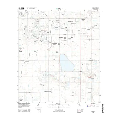
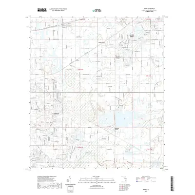
(18)- 1955 Map of Lithia, 1956 Print
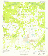 1955 Lithia1956 Print · USGSHillsborough County phosphate country comes to life in the mid-fifties as industrial mining begins to reshape the landscape. Genealogists and local historians can trace the foundations of Lithia, the Seaboard Air Line rail stops, and landmarks like the Lithia Cem and Girl Scout Camp.4 unique versions available
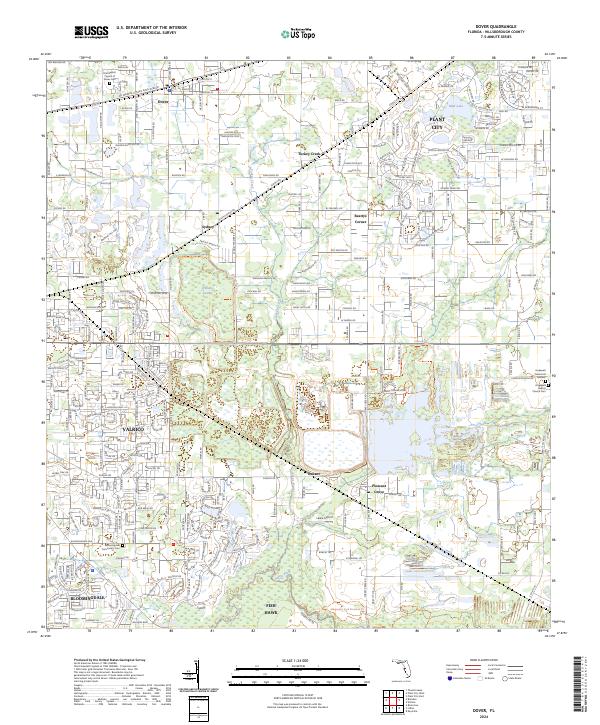
 - 1955 Map of Dover, 1956 Print
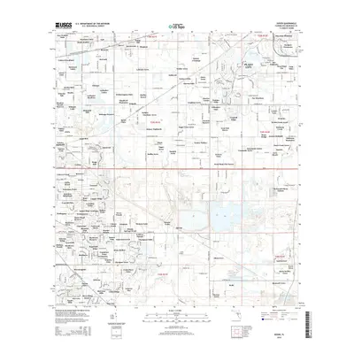
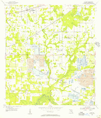 1955 Dover1956 Print · USGSHillsborough County phosphate country comes into focus in the mid-fifties as industrial mining expands alongside rural settlements. Researchers can trace the development of the Alafia River basin, locating local landmarks like the Drive-in Theater and Turkey Creek Sch.5 unique versions available
 - 1956 Map of Tampa, 1964 Print
 1956 Tampa1964 Print · USGSThe Florida Gulf Coast thrived in the mid-fifties, from the bustling docks of Tampa to the quiet shores of Sanibel. Genealogists and historians can trace old rail lines like the Atlantic Coast Line or find early layouts of Port Charlotte and Bokeelia.2 unique versions available
 - 1959 Map of Tampa
 1959 Tampa1959 Print · USGSThe Florida Gulf Coast appears in this late fifties survey during a period of steady coastal growth and established rail commerce. Researchers can trace historic neighborhoods and transit lines from Tampa to St Petersburg, or locate landmarks like Mac Dill AFB and Boca Grande.
 - 1960 Map of Tampa
 1960 Tampa1960 Print · USGSThe Florida Gulf Coast was undergoing a major transformation at the start of the sixties, with new bridges linking burgeoning cities across the bays. Researchers can trace the mid-century footprints of St Petersburg and Tampa, or locate coastal landmarks like Mac Dill AFB and the Sunshine Skyway.2 unique versions available
 - 1972 Map of Tampa, 1974 Print
 1972 Tampa1974 Print · USGSThe Florida Gulf Coast appears in a period of significant growth during the early seventies, from the urban centers of the bay to the quiet southern keys. Researchers can trace the expansion of St Petersburg or locate family sites near Safety Harbor, Valrico, and Boca Ciega.
 - 1981 Map of St Petersburg, 1983 Print
 1981 St Petersburg1983 Print · USGSThe Tampa Bay region is shown here in the early eighties as the urban centers of St Petersburg and Tampa expanded along the coastline. Genealogists and historians can trace rail lines like the Seaboard Coast Line and landmarks from Mac Dill Air Force Base to the Sunshine Skyway.
 - 1988 Map of St Petersburg
 1988 St Petersburg1988 Print · USGSThe Florida Gulf Coast reached a peak of late-twentieth-century development as seen in this late-1980s look at the growing corridor from St Petersburg to Port Charlotte. Researchers can trace the expansion of coastal infrastructure, including MacDill Air Force Base, the Seaboard System RR, and regional parks like Fort De Soto Park.
 - 2012 Map of Dover, 2012 Print
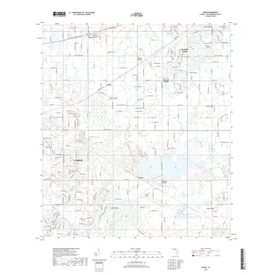
 2012 Dover2012 Print · USGSCovers River Hills, including Marvina, Aarons Place, and other nearby areas
 - 2012 Map of Lithia, 2012 Print
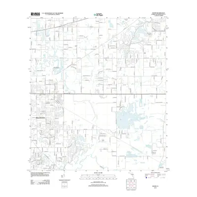
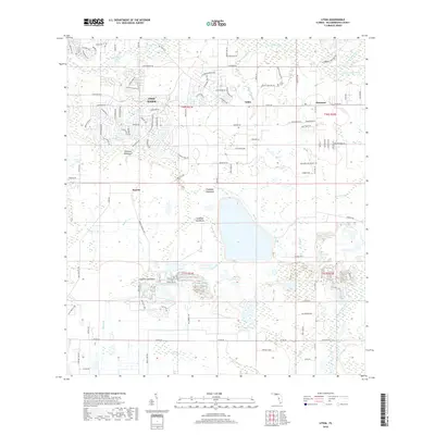
 2012 Lithia2012 Print · USGSCovers River Hills, including Boyette, Boyette, and other nearby areas
 - 2015 Map of Lithia, 2015 Print
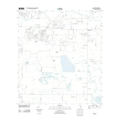
 2015 Lithia2015 Print · USGSCovers River Hills, including Boyette, Boyette, and other nearby areas
 - 2015 Map of Dover, 2015 Print
 2015 Dover2015 Print · USGSCovers River Hills, including Marvina, Aarons Place, and other nearby areas
 - 2018 Map of Lithia, 2018 Print
 2018 Lithia2018 Print · USGSCovers River Hills, including Boyette, Boyette, and other nearby areas
 - 2018 Map of Dover, 2018 Print
 2018 Dover2018 Print · USGSCovers River Hills, including Marvina, Aarons Place, and other nearby areas
 - 2021 Map of Dover, 2021 Print
 2021 Dover2021 Print · USGSCovers River Hills, including Marvina, Aarons Place, and other nearby areas
 - 2021 Map of Lithia, 2021 Print
 2021 Lithia2021 Print · USGSCovers River Hills, including Boyette, Boyette, and other nearby areas
 - 2024 Map of Dover, 2024 Print
 2024 Dover2024 Print · USGSHillsborough County's landscape is captured here in a period of significant growth between Plant City and Valrico. Researchers can locate family burial sites at Hopewell Memorial Gardens or trace the CSX rail line through Dover and Sydney.
 - 2024 Map of Lithia, 2024 Print
 2024 Lithia2024 Print · USGSHillsborough County's interior transition from suburban expansion to riverine wilderness is captured here in the early twenty-first century. Researchers can locate the Lithia Cem, trace the remote Stanchester Airport, and explore the winding paths of the Balm Boyette Scrub Trl.
End of results
Showing maps 1-18 of 18
Frequently asked questions
- What are the different types of historical maps available for River Hills?
- What is the oldest map of River Hills?
- Where can I purchase historical maps of River Hills for my home or office?
- Where can I download high-res historical maps of River Hills?
- Are there historical topographic maps available for River Hills?
- Is there historical aerial imagery available for River Hills?
- Where are historical maps of River Hills sourced from?