Old Maps of Bascom, Florida for Academic Research
Study the evolution of Bascom with 14 high-resolution historic maps. Whether you're teaching, researching, or modeling changes in land use, these maps provide essential visual documentation of urban, environmental, and geographic change.
- Analyze long-term change: Track patterns in development, transportation, and natural features.
- Ideal for environmental or urban studies: Support academic projects with primary historical map data.
- Use in the classroom or lab: Educators and researchers rely on these maps to bring historical context to life.
These maps are a powerful tool for teaching, research, and visualizing how Bascom has changed over the decades.
Bascom, FL maps
(14)- 1952 Map of Bascom, 1953 Print
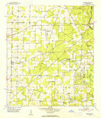 1952 Bascom1953 Print · USGSUpper Jackson County at the Georgia line appears here in the early fifties, where river life met a dense network of rural communities. Trace the vanished airfield at Auxiliary Field No 3 or locate family roots near Bazzell Cem and Cedar Pond Sch.
 - 1954 Map of Tallahassee, 1967 Print
 1954 Tallahassee1967 Print · USGSThe Florida Panhandle and South Georgia are captured here during a period of mid-century growth and military expansion. Researchers can trace the development of Panama City, the footprint of Tyndall Air Force Base, and the rail lines of the Atlantic Coast Line.4 unique versions available
 - 1959 Map of Tallahassee
 1959 Tallahassee1959 Print · USGSFlorida's Panhandle and the Big Bend region appear here in the mid-fifties, showing a landscape defined by its great river systems and developing coast. Trace the early layout of Panama City, the expansive Apalachicola National Forest, and the coastal St Marks Lighthouse.
 - 1960 Map of Tallahassee
 1960 Tallahassee1960 Print · USGSThe Florida Panhandle and southern Georgia are captured here in the mid-twentieth century, showing a region defined by its rivers and military installations. Genealogists and historians can trace the growth of Tallahassee or locate coastal landmarks like the St Marks Lighthouse and Tyndall Air Force Base.
 - 1979 Map of Marianna, 1980 Print
 1979 Marianna1980 Print · USGSFlorida's northern panhandle and the neighboring Alabama-Georgia borderlands are captured here in the late seventies. Genealogists and local historians can trace family roots through settlements like Graceville and Cottondale or follow the historic Louisville and Nashville rail lines.2 unique versions available
 - 1982 Map of Bascom
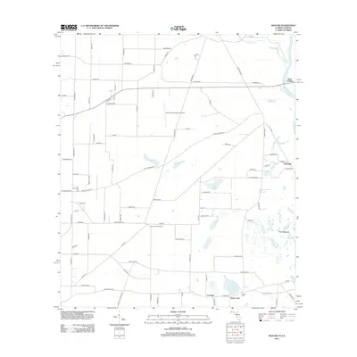
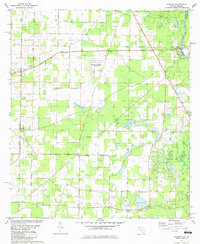 1982 Bascom1982 Print · USGSUpper Jackson County at the Georgia border shows a landscape of river landings and rural crossroads in the early eighties. Genealogists can locate family landmarks like Bazzell Cem, Shiloh Ch, and the site of Auxiliary Field No 3 (Abandoned).
 - 1988 Map of Tallahassee
 1988 Tallahassee1988 Print · USGSThe Florida Panhandle and South Georgia are captured here in the late eighties, showing the expansion of the regional highway network and coastal growth. Genealogists and historians can trace rail lines like the Seaboard System Railroad or locate family roots in Blountstown, Graceville, or Crawfordville.2 unique versions available
 - 1994 Map of Bascom, 1998 Print
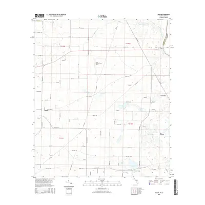
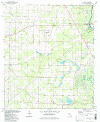 1994 Bascom1998 Print · USGSThe Chattahoochee River borderlands come into focus in the 1990s, revealing a landscape of rural junctions and abundant wetlands. Genealogists and historians can locate family landmarks like Bazzell Cem and Shiloh Ch alongside the decommissioned Auxiliary Field No 3.
 - 2011 Map of Bascom, 2011 Print
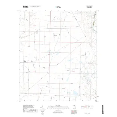
 2011 Bascom2011 Print · USGSCovers Bascom, including Hornsville, Lovedale, and other nearby areas
 - 2012 Map of Bascom, 2012 Print
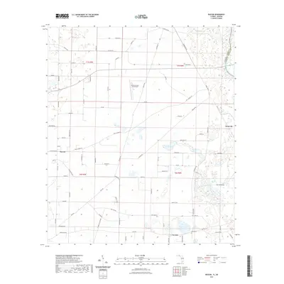
 2012 Bascom2012 Print · USGSCovers Bascom, including Hornsville, Lovedale, and other nearby areas
 - 2015 Map of Bascom, 2015 Print
 2015 Bascom2015 Print · USGSCovers Bascom, including Hornsville, Lovedale, and other nearby areas
 - 2018 Map of Bascom, 2018 Print
 2018 Bascom2018 Print · USGSCovers Bascom, including Hornsville, Lovedale, and other nearby areas
 - 2021 Map of Bascom, 2021 Print
 2021 Bascom2021 Print · USGSCovers Bascom, including Hornsville, Lovedale, and other nearby areas
 - 2024 Map of Bascom, 2024 Print
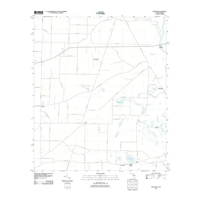
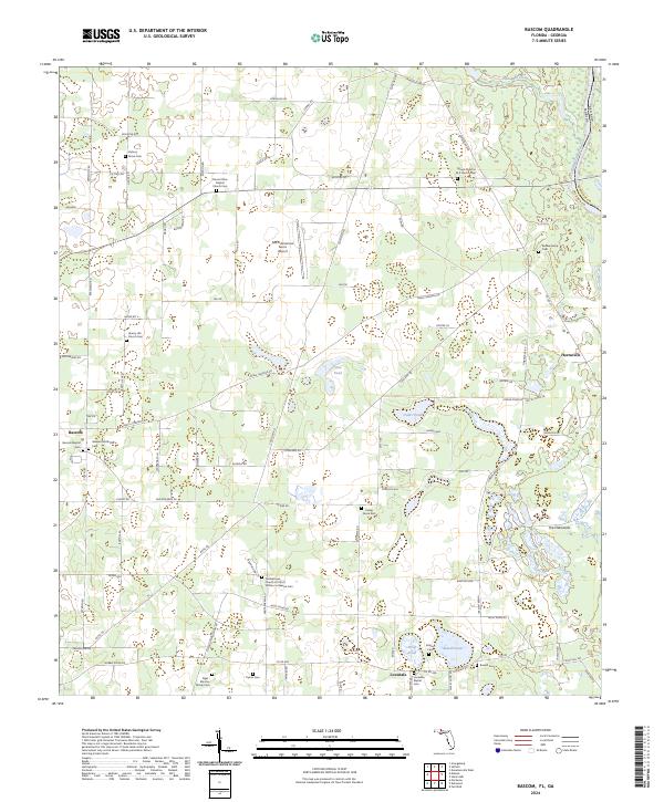 2024 Bascom2024 Print · USGSUpper Jackson County near the Georgia border is shown here as a landscape of agricultural tradition and family heritage. Researchers can trace deep local roots through dozens of sites like the Gethsemane Church Of Christ Written In Heaven Cem, Lovedale Baptist Cem, and Hornsville.
End of results
Showing maps 1-14 of 14
Top cities near Bascom
- Dothan historical maps
- Marianna historical maps
- Donalsonville historical maps
- Malone historical maps
- Sneads historical maps
- Cottonwood historical maps
See more
Frequently asked questions
- What are the different types of historical maps available for Bascom?
- What is the oldest map of Bascom?
- Where can I purchase historical maps of Bascom for my home or office?
- Where can I download high-res historical maps of Bascom?
- Are there historical topographic maps available for Bascom?
- Is there historical aerial imagery available for Bascom?
- Where are historical maps of Bascom sourced from?