Old Maps of Greenwood, Florida for Hiking & Exploration
Hike through history with 20 historic maps of Greenwood. Explore old trails, ghost towns, and forgotten backroads — perfect for outdoor adventurers and local explorers.
- Rediscover forgotten places: Map out old mining camps, roads, and footpaths that no longer exist on modern maps.
- Layer with modern tools: Combine with LiDAR or satellite views to plan hikes through historical terrain.
- Made for exploration: Popular among hikers, overlanders, and local history lovers.
Use these maps to find adventure and explore the hidden past of Greenwood.
Greenwood, FL maps
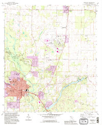
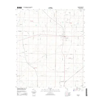
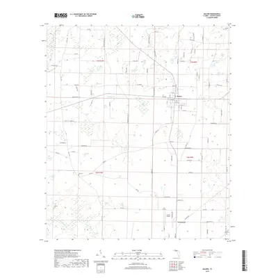
(20)- 1952 Map of Malone, 1953 Print
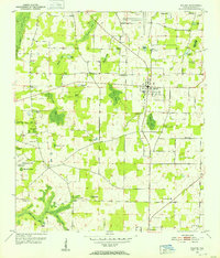 1952 Malone1953 Print · USGSJackson County rural life is frozen in time during the early fifties, centering on the agricultural community of Malone. Researchers can trace old family landholdings near Knowles Pond, locate schools like Snow Hill Sch, and identify early aviation sites including AUXILIARY FIELD NO 2.
 - 1952 Map of Marianna, 1953 Print
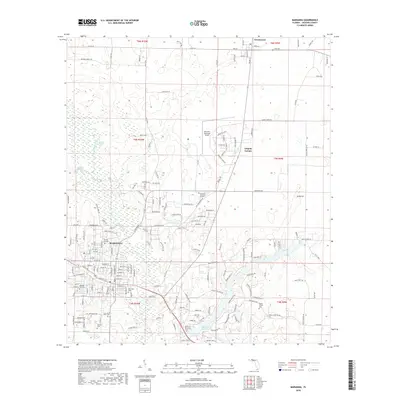
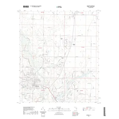
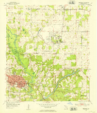 1952 Marianna1953 Print · USGSMarianna and the surrounding Jackson County countryside are captured in the early fifties, showcasing a landscape of river-fed springs and growing institutions. Genealogists can locate family landmarks like Riverside Cem and several rural schools, including Buckhorn Sch and the County Training Sch.2 unique versions available
 - 1954 Map of Tallahassee, 1967 Print
 1954 Tallahassee1967 Print · USGSThe Florida Panhandle and South Georgia are captured here during a period of mid-century growth and military expansion. Researchers can trace the development of Panama City, the footprint of Tyndall Air Force Base, and the rail lines of the Atlantic Coast Line.4 unique versions available
 - 1959 Map of Tallahassee
 1959 Tallahassee1959 Print · USGSFlorida's Panhandle and the Big Bend region appear here in the mid-fifties, showing a landscape defined by its great river systems and developing coast. Trace the early layout of Panama City, the expansive Apalachicola National Forest, and the coastal St Marks Lighthouse.
 - 1960 Map of Tallahassee
 1960 Tallahassee1960 Print · USGSThe Florida Panhandle and southern Georgia are captured here in the mid-twentieth century, showing a region defined by its rivers and military installations. Genealogists and historians can trace the growth of Tallahassee or locate coastal landmarks like the St Marks Lighthouse and Tyndall Air Force Base.
 - 1979 Map of Marianna, 1980 Print
 1979 Marianna1980 Print · USGSFlorida's northern panhandle and the neighboring Alabama-Georgia borderlands are captured here in the late seventies. Genealogists and local historians can trace family roots through settlements like Graceville and Cottondale or follow the historic Louisville and Nashville rail lines.2 unique versions available
 - 1982 Map of Malone, 1983 Print
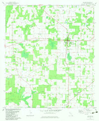 1982 Malone1983 Print · USGSUpper Jackson County during the early eighties shows a transition from structured town centers to a landscape of named ponds and bays. Genealogists and local historians can trace the locations of Union Grove Sch, Coonrod Cem, and the U. S. Coast Guard Station.
 - 1982 Map of Marianna, 1983 Print
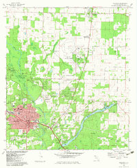 1982 Marianna1983 Print · USGSJackson County during the early eighties reveals a hub of education, rail transport, and unique geology. Genealogists and historians can trace the foundations of Marianna through its schools and churches, including Jackson Christian Sch and the well-placed Riverside Cem.
 - 1988 Map of Tallahassee
 1988 Tallahassee1988 Print · USGSThe Florida Panhandle and South Georgia are captured here in the late eighties, showing the expansion of the regional highway network and coastal growth. Genealogists and historians can trace rail lines like the Seaboard System Railroad or locate family roots in Blountstown, Graceville, or Crawfordville.2 unique versions available
 - 1994 Map of Marianna, 1995 Print
 1994 Marianna1995 Print · USGSMarianna and the Chipola River valley are captured in the mid-1990s, showcasing a mix of state parklands and growing Panhandle neighborhoods. Genealogists and historians can trace numerous rural burial sites like Orange Hill Cem and old landmarks like Greenwood Chapel.
 - 2012 Map of Malone, 2012 Print
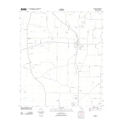 2012 Malone2012 Print · USGSCovers Greenwood, including Malone, Ellis, and other nearby areas
 - 2012 Map of Marianna, 2012 Print
 2012 Marianna2012 Print · USGSCovers Greenwood, including Marianna, Chipola Terrace, and other nearby areas
 - 2015 Map of Marianna, 2015 Print
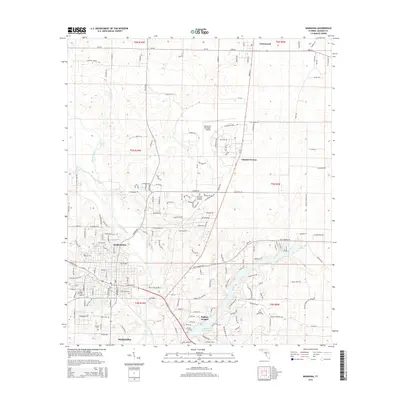 2015 Marianna2015 Print · USGSCovers Greenwood, including Marianna, Chipola Terrace, and other nearby areas
 - 2015 Map of Malone, 2015 Print
 2015 Malone2015 Print · USGSCovers Greenwood, including Malone, Ellis, and other nearby areas
 - 2018 Map of Marianna, 2018 Print
 2018 Marianna2018 Print · USGSCovers Greenwood, including Marianna, Chipola Terrace, and other nearby areas
 - 2018 Map of Malone, 2018 Print
 2018 Malone2018 Print · USGSCovers Greenwood, including Malone, Ellis, and other nearby areas
 - 2021 Map of Malone, 2021 Print
 2021 Malone2021 Print · USGSCovers Greenwood, including Malone, Ellis, and other nearby areas
 - 2021 Map of Marianna, 2021 Print
 2021 Marianna2021 Print · USGSCovers Greenwood, including Marianna, Chipola Terrace, and other nearby areas
 - 2024 Map of Marianna, 2024 Print
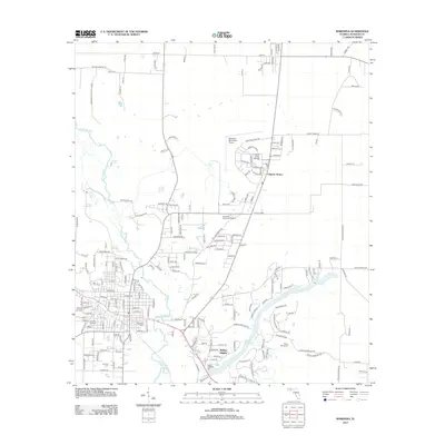
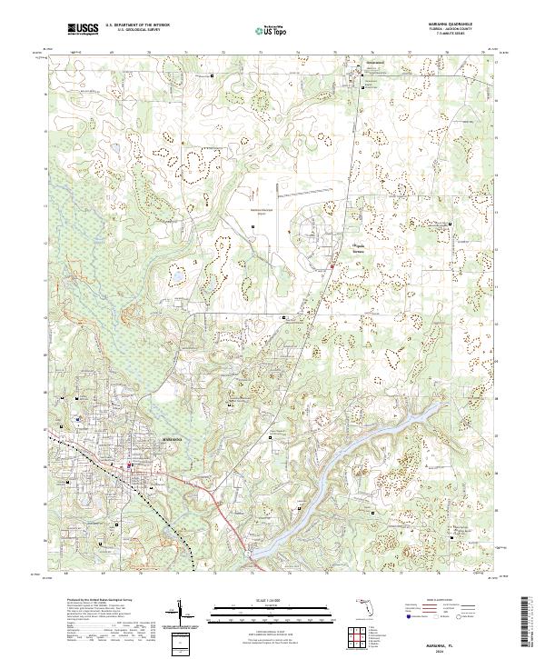 2024 Marianna2024 Print · USGSMarianna and the village of Greenwood are captured here during their modern development in the Florida Panhandle. Researchers can trace historic family burial sites and rural congregations at John Syfrett Burial Site, Buckhorn Cem, and Saint Lukes Episcopal Church.
 - 2024 Map of Malone, 2024 Print
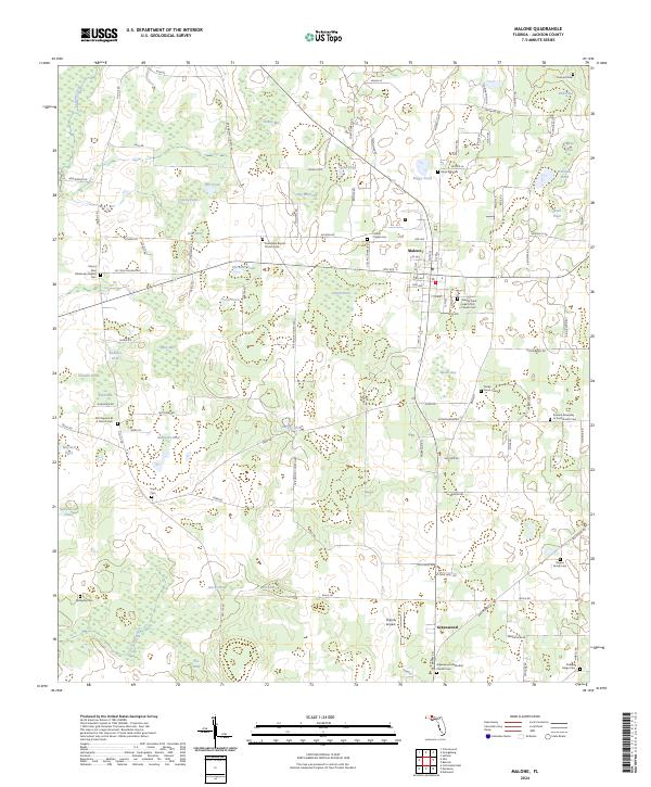 2024 Malone2024 Print · USGSJackson County settlement and cemetery locations are revealed in this modern survey of the Malone area. Researchers can identify old family plots and rural congregations like Friendship Baptist Church Cem and the Rogers Family Cem.
End of results
Showing maps 1-20 of 20
Top cities near Greenwood
- Marianna historical maps
- Malone historical maps
- Sneads historical maps
- Cottonwood historical maps
- Cottondale historical maps
- Grand Ridge historical maps
See more
Frequently asked questions
- What are the different types of historical maps available for Greenwood?
- What is the oldest map of Greenwood?
- Where can I purchase historical maps of Greenwood for my home or office?
- Where can I download high-res historical maps of Greenwood?
- Are there historical topographic maps available for Greenwood?
- Is there historical aerial imagery available for Greenwood?
- Where are historical maps of Greenwood sourced from?