Old Maps of Haynes, Florida for Metal Detecting
Plan your next treasure hunt with 13 historic maps of Haynes. Find old homesites, ghost towns, trails, and gathering spots that may be lost to time — perfect for identifying promising metal detecting locations.
- Locate forgotten sites: Uncover places like long-lost settlements, abandoned rail lines, or gathering spots.
- Plan better hunts: Use map overlays combined with LiDAR or satellite views to narrow in on historically rich areas.
- Made for detectorists: Thousands of hobbyists use these maps to discover relics, coins, and hidden history.
Use these historic maps to boost your research and find new opportunities beneath the surface of Haynes.
Haynes, FL maps
(13)- 1954 Map of Tallahassee, 1967 Print
 1954 Tallahassee1967 Print · USGSThe Florida Panhandle and South Georgia are captured here during a period of mid-century growth and military expansion. Researchers can trace the development of Panama City, the footprint of Tyndall Air Force Base, and the rail lines of the Atlantic Coast Line.4 unique versions available
 - 1955 Map of Fairchild, 1956 Print
 1955 Fairchild1956 Print · USGSThe Florida-Georgia borderland is captured here in the mid-fifties just as the rising waters of the Jim Woodruff Reservoir reshaped the valley. Genealogists can locate family landmarks like Drakes Still and several rural burial sites, including Trawick Cem.2 unique versions available
 - 1959 Map of Tallahassee
 1959 Tallahassee1959 Print · USGSFlorida's Panhandle and the Big Bend region appear here in the mid-fifties, showing a landscape defined by its great river systems and developing coast. Trace the early layout of Panama City, the expansive Apalachicola National Forest, and the coastal St Marks Lighthouse.
 - 1960 Map of Tallahassee
 1960 Tallahassee1960 Print · USGSThe Florida Panhandle and southern Georgia are captured here in the mid-twentieth century, showing a region defined by its rivers and military installations. Genealogists and historians can trace the growth of Tallahassee or locate coastal landmarks like the St Marks Lighthouse and Tyndall Air Force Base.
 - 1978 Map of Bainbridge, 1980 Print
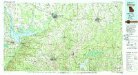 1978 Bainbridge1980 Print · USGSIn the late seventies, this Georgia-Florida borderland was defined by the confluence of the Flint and Chattahoochee rivers. Trace the region's infrastructure via the Seaboard Coast Line Railroad and find sites like Bainbridge State Hospital.
 - 1982 Map of Fairchild, 1983 Print
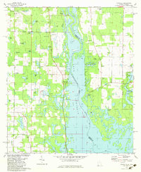 1982 Fairchild1983 Print · USGSThe Georgia-Florida borderlands come into focus in the early eighties as Lake Seminole reshapes the river valley. Genealogists and local historians can trace family-named sites like Wooten Cem, Butlers Ferry Landing, and the settlement at Haynes.
 - 1988 Map of Tallahassee
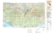 1988 Tallahassee1988 Print · USGSThe Florida Panhandle and South Georgia are captured here in the late eighties, showing the expansion of the regional highway network and coastal growth. Genealogists and historians can trace rail lines like the Seaboard System Railroad or locate family roots in Blountstown, Graceville, or Crawfordville.2 unique versions available
 - 1994 Map of Fairchild, 1998 Print
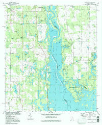 1994 Fairchild1998 Print · USGSThe Georgia-Florida borderlands come to life in the 1990s as the river landscape shifts between recreation and old riverfront settlements. Genealogists and historians can trace family roots at Fairchild Cem or explore the river's edge at Butlers Ferry Landing and Parramore Landing.
 - 2011 Map of Fairchild, 2011 Print
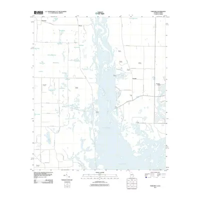 2011 Fairchild2011 Print · USGSThe Florida-Georgia line is defined by the waters of the Chattahoochee and the vast reaches of Lake Seminole in the early twenty-first century. Researchers can trace family history through several rural burial grounds like Wooten Cemetery and Robinson Cemetery or locate historic river access at Butlers Ferry Landing.
 - 2014 Map of Fairchild, 2014 Print
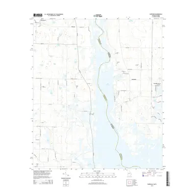 2014 Fairchild2014 Print · USGSThe Florida-Georgia borderlands along the Chattahoochee River are captured here in the early twenty-first century as Lake Seminole fills the river valley. Local historians and genealogists can trace family footprints at Fairchild Cem, Trawick Cem, and Sand Ridge Cem.
 - 2017 Map of Fairchild, 2017 Print
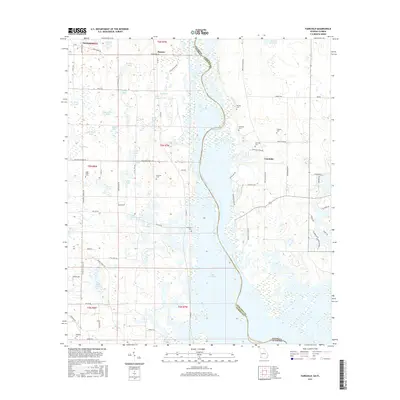 2017 Fairchild2017 Print · USGSThe Florida-Georgia borderland is captured here in the late twenty-tens, defined by the vast waters of Lake Seminole and the Chattahoochee River. Genealogists and local historians can locate numerous family-named burial grounds, including Robinson Cem, Sand Ridge Cem, and Simpsons Cem.
 - 2020 Map of Fairchild, 2020 Print
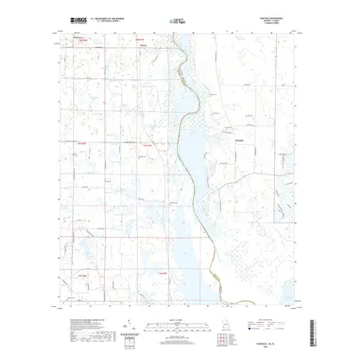 2020 Fairchild2020 Print · USGSFlorida and Georgia meet along the Chattahoochee River in this modern topographical survey of the tri-state area. Genealogists can trace family roots at Simpsons Cem, Whiddon Cem, and Robinson Cem near the historic settlements of Haynes and Parramore.
 - 2024 Map of Fairchild, 2024 Print
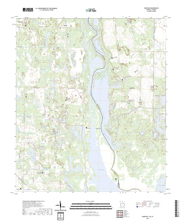 2024 Fairchild2024 Print · USGSThe Chattahoochee River corridor at the Georgia-Florida line comes to life in this survey of the river valley and its wetlands. Genealogists can trace numerous family-named sites, including Fairchild Cem Number 1, Butlers Ferry, and Little Zion Missionary Baptist Church.
End of results
Showing maps 1-13 of 13
Top cities near Haynes
- Marianna historical maps
- Chattahoochee historical maps
- Donalsonville historical maps
- Malone historical maps
- Sneads historical maps
- Grand Ridge historical maps
See more
Frequently asked questions
- What are the different types of historical maps available for Haynes?
- What is the oldest map of Haynes?
- Where can I purchase historical maps of Haynes for my home or office?
- Where can I download high-res historical maps of Haynes?
- Are there historical topographic maps available for Haynes?
- Is there historical aerial imagery available for Haynes?
- Where are historical maps of Haynes sourced from?