2000s (21st Century) Maps of Promenade East, Fort Myers
Explore 10 historic maps of Promenade East from the 2000s (21st Century). These maps offer a rare glimpse into what life looked like during the 2000s — showing old roads, neighborhoods, homes, and landmarks that have changed or disappeared over time.
Whether you're researching your family's past, planning a metal detecting trip, or studying how Promenade East's landscape evolved across the 2000s, these high-resolution maps are a powerful tool for exploring the history of this region.
- Focus on a specific era: All maps on this page are from the 2000s, giving you a focused view of this time period.
- See what’s changed: Compare century-old streets, trails, and buildings to today's modern landscape using overlays and satellite layers.
- Research with precision: Use these maps for genealogy, historical research, land use analysis, or educational projects.
- View, download, or print: Maps are fully viewable online in high resolution, and can be downloaded or printed for your own records.
Start exploring Promenade East's history through authentic maps from the 2000s. This is your window into the past.
Promenade East, Fort Myers maps
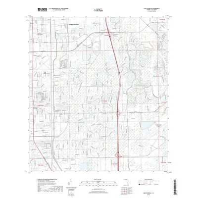
(10)- 2012 Map of Fort Myers SE, 2012 Print
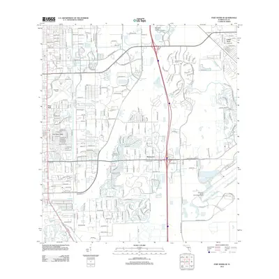 2012 Fort Myers SE2012 Print · USGSCovers Promenade East, including Fort Myers, Arborwood, and other nearby areas
 - 2012 Map of Fort Myers, 2012 Print
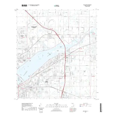
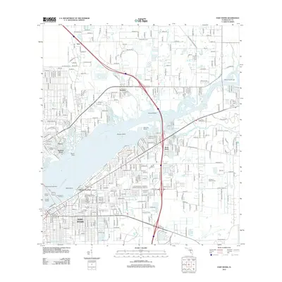 2012 Fort Myers2012 Print · USGSCovers Promenade East, including Fort Myers, Fort Myers Shores, and other nearby areas
 - 2015 Map of Fort Myers SE, 2015 Print
 2015 Fort Myers SE2015 Print · USGSCovers Promenade East, including Fort Myers, Arborwood, and other nearby areas
 - 2015 Map of Fort Myers, 2015 Print
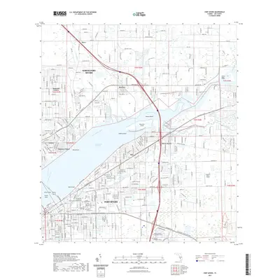
 2015 Fort Myers2015 Print · USGSCovers Promenade East, including Fort Myers, Fort Myers Shores, and other nearby areas
 - 2018 Map of Fort Myers SE, 2018 Print
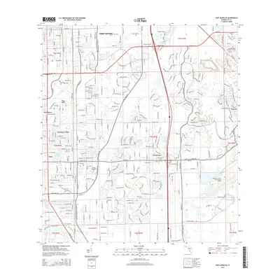
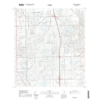
 2018 Fort Myers SE2018 Print · USGSCovers Promenade East, including Fort Myers, Arborwood, and other nearby areas
 - 2018 Map of Fort Myers, 2018 Print
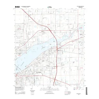
 2018 Fort Myers2018 Print · USGSCovers Promenade East, including Fort Myers, Fort Myers Shores, and other nearby areas
 - 2021 Map of Fort Myers, 2021 Print
 2021 Fort Myers2021 Print · USGSCovers Promenade East, including Fort Myers, Fort Myers Shores, and other nearby areas
 - 2021 Map of Fort Myers SE, 2021 Print
 2021 Fort Myers SE2021 Print · USGSCovers Promenade East, including Fort Myers, Arborwood, and other nearby areas
 - 2024 Map of Fort Myers SE, 2024 Print
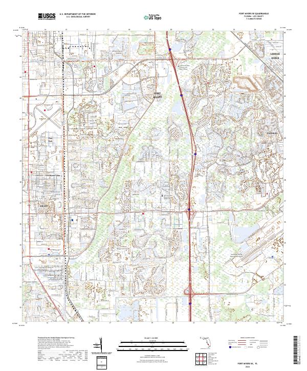 2024 Fort Myers SE2024 Print · USGSSoutheast of downtown Fort Myers, this recent survey captures a landscape defined by rapid suburban growth and major aviation hubs. Genealogists and local historians can trace the development of planned communities like Gateway and Lehigh Acres or locate the Saint John XXIII Memorial Garden Cem.
 - 2024 Map of Fort Myers, 2024 Print
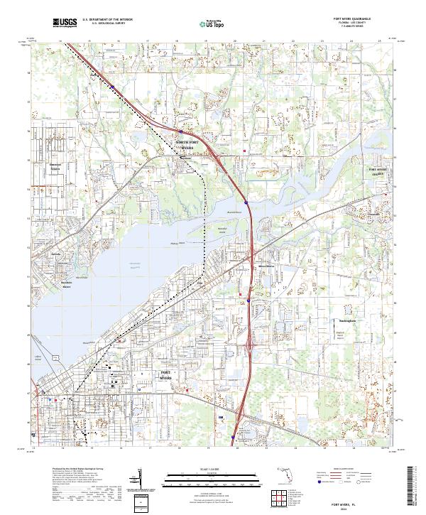 2024 Fort Myers2024 Print · USGSFort Myers and its surrounding Lee County communities are captured here in the early twenty-first century as the city expands along the Caloosahatchee. Genealogists can locate several key burial sites like Fort Myers Cem and Woodlawn Cem, while bush pilots can spot the Strayhorn Ranch Airport.
End of results
Showing maps 1-10 of 10
Frequently asked questions
- What are the different types of historical maps available for Promenade East?
- What is the oldest map of Promenade East?
- Where can I purchase historical maps of Promenade East for my home or office?
- Where can I download high-res historical maps of Promenade East?
- Are there historical topographic maps available for Promenade East?
- Is there historical aerial imagery available for Promenade East?
- Where are historical maps of Promenade East sourced from?