Old Maps of White Oak Landing, Florida for Hiking & Exploration
Hike through history with 12 historic maps of White Oak Landing. Explore old trails, ghost towns, and forgotten backroads — perfect for outdoor adventurers and local explorers.
- Rediscover forgotten places: Map out old mining camps, roads, and footpaths that no longer exist on modern maps.
- Layer with modern tools: Combine with LiDAR or satellite views to plan hikes through historical terrain.
- Made for exploration: Popular among hikers, overlanders, and local history lovers.
Use these maps to find adventure and explore the hidden past of White Oak Landing.
White Oak Landing, FL maps
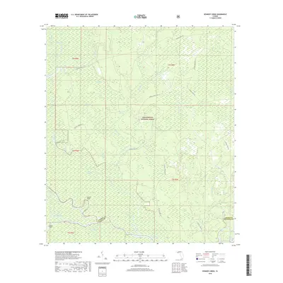
(12)- 1945 Map of Kennedy Creek
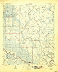 1945 Kennedy Creek1945 Print · USGSThe Florida Panhandle at the close of the war shows a river-dependent landscape where Liberty and Gulf counties meet. Local historians can trace old river outposts like White Oak Landing and Owl Landing, or locate the Graveyard Pole Lookout deep in the swampy interior.4 unique versions available
 - 1954 Map of Tallahassee, 1967 Print
 1954 Tallahassee1967 Print · USGSThe Florida Panhandle and South Georgia are captured here during a period of mid-century growth and military expansion. Researchers can trace the development of Panama City, the footprint of Tyndall Air Force Base, and the rail lines of the Atlantic Coast Line.4 unique versions available
 - 1959 Map of Tallahassee
 1959 Tallahassee1959 Print · USGSFlorida's Panhandle and the Big Bend region appear here in the mid-fifties, showing a landscape defined by its great river systems and developing coast. Trace the early layout of Panama City, the expansive Apalachicola National Forest, and the coastal St Marks Lighthouse.
 - 1960 Map of Tallahassee
 1960 Tallahassee1960 Print · USGSThe Florida Panhandle and southern Georgia are captured here in the mid-twentieth century, showing a region defined by its rivers and military installations. Genealogists and historians can trace the growth of Tallahassee or locate coastal landmarks like the St Marks Lighthouse and Tyndall Air Force Base.
 - 1981 Map of Panama City
 1981 Panama City1981 Print · USGSPanama City and the Florida Panhandle coast are captured here in the early eighties, showing the region's balance of military installations and maritime industry. Researchers can trace the Atlanta and St Andrews Bay RR or locate coastal sites like Tyndall Air Force Base and Dead Lake.2 unique versions available
 - 1988 Map of Tallahassee
 1988 Tallahassee1988 Print · USGSThe Florida Panhandle and South Georgia are captured here in the late eighties, showing the expansion of the regional highway network and coastal growth. Genealogists and historians can trace rail lines like the Seaboard System Railroad or locate family roots in Blountstown, Graceville, or Crawfordville.2 unique versions available
 - 1990 Map of Kennedy Creek
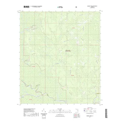
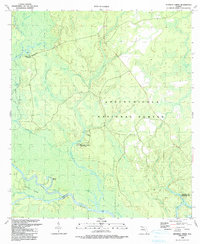 1990 Kennedy Creek1990 Print · USGSLiberty County's riverfront and forest lands are captured here in the late twentieth century, showing a landscape defined by the Apalachicola and Chipola rivers. Researchers can trace historic river access at White Oak Landing, locate the Kennedy Creek Fish Camp, and explore the wetlands of Hathcock Bay.
 - 2012 Map of Kennedy Creek, 2012 Print
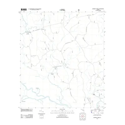 2012 Kennedy Creek2012 Print · USGSCovers White Oak Landing, including Owl Landing, Gulf County, and other nearby areas
 - 2015 Map of Kennedy Creek, 2015 Print
 2015 Kennedy Creek2015 Print · USGSCovers White Oak Landing, including Owl Landing, Gulf County, and other nearby areas
 - 2018 Map of Kennedy Creek, 2018 Print
 2018 Kennedy Creek2018 Print · USGSCovers White Oak Landing, including Owl Landing, Gulf County, and other nearby areas
 - 2021 Map of Kennedy Creek, 2021 Print
 2021 Kennedy Creek2021 Print · USGSCovers White Oak Landing, including Owl Landing, Gulf County, and other nearby areas
 - 2024 Map of Kennedy Creek, 2024 Print
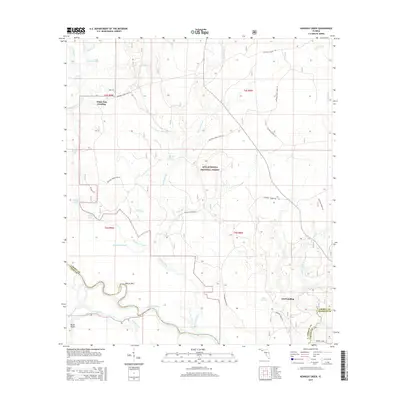
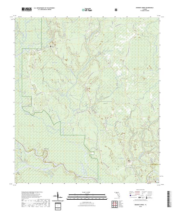 2024 Kennedy Creek2024 Print · USGSLiberty County is mapped here in the modern era, showing the intricate confluence of the Apalachicola River and Chipola River. Researchers can trace local history at River Styx Cem, Hathcock Cem, and the wetlands of Post Office Bay.
End of results
Showing maps 1-12 of 12
Top cities near White Oak Landing
Frequently asked questions
- What are the different types of historical maps available for White Oak Landing?
- What is the oldest map of White Oak Landing?
- Where can I purchase historical maps of White Oak Landing for my home or office?
- Where can I download high-res historical maps of White Oak Landing?
- Are there historical topographic maps available for White Oak Landing?
- Is there historical aerial imagery available for White Oak Landing?
- Where are historical maps of White Oak Landing sourced from?