Old Maps of Kerr City, Florida for Academic Research
Study the evolution of Kerr City with 11 high-resolution historic maps. Whether you're teaching, researching, or modeling changes in land use, these maps provide essential visual documentation of urban, environmental, and geographic change.
- Analyze long-term change: Track patterns in development, transportation, and natural features.
- Ideal for environmental or urban studies: Support academic projects with primary historical map data.
- Use in the classroom or lab: Educators and researchers rely on these maps to bring historical context to life.
These maps are a powerful tool for teaching, research, and visualizing how Kerr City has changed over the decades.
Kerr City, FL maps
(11)- 1954 Map of Daytona Beach, 1974 Print
 1954 Daytona Beach1974 Print · USGSNortheast Florida is captured in the mid-1950s, showing the transition from river-based commerce to coastal tourism. Researchers can trace the Florida East Coast rail lines and find historic sites like Castillo de San Marcos Nat Mon and Palatka.
 - 1958 Map of Daytona Beach
 1958 Daytona Beach1958 Print · USGSThe Florida coast and St. Johns River valley are captured in the late 1950s, showing a landscape defined by citrus-belt rail towns and Atlantic shorelines. Genealogists can trace family roots through riverside settlements like Palatka and Welaka or coastal hubs like Daytona Beach.2 unique versions available
 - 1964 Map of Daytona Beach
 1964 Daytona Beach1964 Print · USGSCoastal Florida in the mid-1960s shows a fascinating balance between burgeoning beach tourism and the deep interior wilderness of the Ocala National Forest. Researchers can trace the path of the Florida East Coast railway through historic settlements like St. Augustine, Marineland, and Palatka.
 - 1970 Map of Lake Kerr, 1973 Print
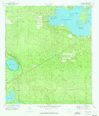 1970 Lake Kerr1973 Print · USGSIn the heart of the Ocala National Forest during the early 1970s, this area centers on the waters of Lake Kerr. Researchers can trace the Old Railroad Grade, locate the Cem near Kerr City, and find landmarks like the Eureka Lookout Tower.2 unique versions available
 - 1978 Map of Daytona Beach, 1980 Print
 1978 Daytona Beach1980 Print · USGSCoastal development meets the wild Florida interior in the late seventies, spanning from the Atlantic beaches to the St. Johns River. Trace the growth of Daytona Beach or find inland outposts like Salt Springs, De Leon Springs, and the U S Naval Reservation.2 unique versions available
 - 1994 Map of Lake Kerr, 1998 Print
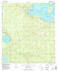 1994 Lake Kerr1998 Print · USGSMarion County's lake-strewn forest interior is captured here in the 1990s, during a period of sustained conservation within the Ocala National Forest. Researchers can trace the Old Railroad Grade and locate historic points like Kerr City and the Eureka Lookout Tower.
 - 2012 Map of Lake Kerr, 2012 Print
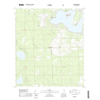
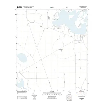 2012 Lake Kerr2012 Print · USGSCovers Kerr City, including Point Pleasant, Marion County, and other nearby areas
 - 2015 Map of Lake Kerr, 2015 Print
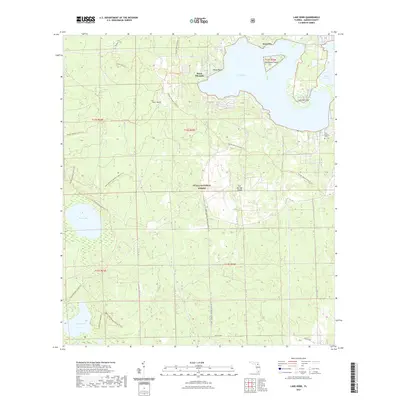
 2015 Lake Kerr2015 Print · USGSCovers Kerr City, including Point Pleasant, Marion County, and other nearby areas
 - 2018 Map of Lake Kerr, 2018 Print
 2018 Lake Kerr2018 Print · USGSCovers Kerr City, including Point Pleasant, Marion County, and other nearby areas
 - 2021 Map of Lake Kerr, 2021 Print
 2021 Lake Kerr2021 Print · USGSCovers Kerr City, including Point Pleasant, Marion County, and other nearby areas
 - 2024 Map of Lake Kerr, 2024 Print
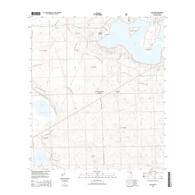
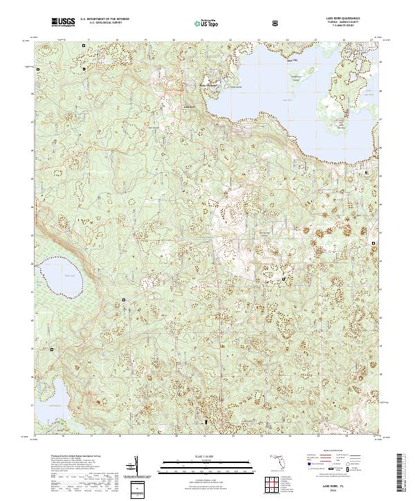 2024 Lake Kerr2024 Print · USGSWithin the Ocala National Forest, this modern survey shows the area around Lake Kerr and the historic settlement of Kerr City. Genealogists and hikers can trace the Florida National Scenic Trl or locate the First Baptist Cem.
End of results
Showing maps 1-11 of 11
Top cities near Kerr City
Frequently asked questions
- What are the different types of historical maps available for Kerr City?
- What is the oldest map of Kerr City?
- Where can I purchase historical maps of Kerr City for my home or office?
- Where can I download high-res historical maps of Kerr City?
- Are there historical topographic maps available for Kerr City?
- Is there historical aerial imagery available for Kerr City?
- Where are historical maps of Kerr City sourced from?