Old Maps of Meadowridge Subdivision, Florida for Academic Research
Study the evolution of Meadowridge Subdivision with 12 high-resolution historic maps. Whether you're teaching, researching, or modeling changes in land use, these maps provide essential visual documentation of urban, environmental, and geographic change.
- Analyze long-term change: Track patterns in development, transportation, and natural features.
- Ideal for environmental or urban studies: Support academic projects with primary historical map data.
- Use in the classroom or lab: Educators and researchers rely on these maps to bring historical context to life.
These maps are a powerful tool for teaching, research, and visualizing how Meadowridge Subdivision has changed over the decades.
Meadowridge Subdivision, FL maps
(12)- 1895 Map of Ocala
 1895 Ocala1895 Print · USGSMarion County at the end of the nineteenth century was a bustling intersection of rail and water. Researchers can trace the early footprints of Ocala and Silver Springs, or locate smaller stops along the Florida Southern R. R. like Santos and Belleview.7 unique versions available
 - 1954 Map of Gainesville, 1965 Print
 1954 Gainesville1965 Print · USGSMid-century North Central Florida comes into focus as a landscape of timber, rails, and river towns along the Gulf. Trace family roots in established centers like Gainesville or follow the path of the Suwannee River to the coastal docks of Cedar Key.3 unique versions available
 - 1958 Map of Gainesville
 1958 Gainesville1958 Print · USGSNorth Central Florida’s rail and river networks are frozen in time just before the interstate era. Genealogists and historians can trace the paths of the Atlantic Coast Line through Gainesville or locate coastal settlements like Steinhatchee and Cedar Key.
 - 1959 Map of Gainesville
 1959 Gainesville1959 Print · USGSNorth Florida in the mid-fifties is seen here from the Gulf coast to the inland lakes, showing the rail-and-river network before modern highways dominated. Researchers can trace the paths of the Seaboard Air Line through towns like Chiefland and Micanopy, or explore the coastal inlets of Waccasassa Bay.
 - 1968 Map of Shady, 1970 Print
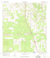 1968 Shady1970 Print · USGSMarion County in the late sixties shows a landscape on the verge of massive change as the Proposed Cross Florida Barge Canal was being surveyed. Researchers can trace rural community roots at Shady Grove Ch, locate the old RR Grade, or find the former Claypit and Lookout Tower.
 - 1978 Map of Ocala, 1980 Print
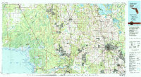 1978 Ocala1980 Print · USGSFlorida's interior heartland and Gulf coast are seen here in the late seventies, showing the transition from freshwater springs to coastal hammocks. Genealogists and historians can trace the Seaboard Coast Line Railroad through Chiefland, Bronson, and Dunnellon.2 unique versions available
 - 1991 Map of Shady
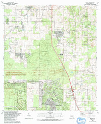 1991 Shady1991 Print · USGSMarion County experiences significant residential expansion during the early nineties, with emerging suburban tracts appearing alongside rural homesteads. Genealogists and researchers can trace local roots through landmarks like Barnes Cem, Shady Grove Ch, and the settlements of Shady and Martel.
 - 2012 Map of Shady, 2012 Print
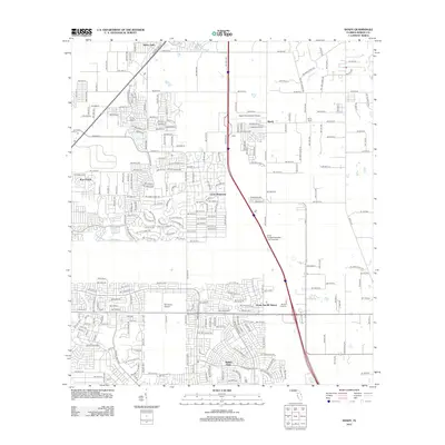 2012 Shady2012 Print · USGSMarion County's southern expansion is visible here in the early twenty-first century as new subdivisions and infrastructure redefine the landscape. Researchers can trace the development of Marion Oaks, identify the location of Shady International Airport, and locate the Ocala Sun RV Resort.
 - 2015 Map of Shady, 2015 Print
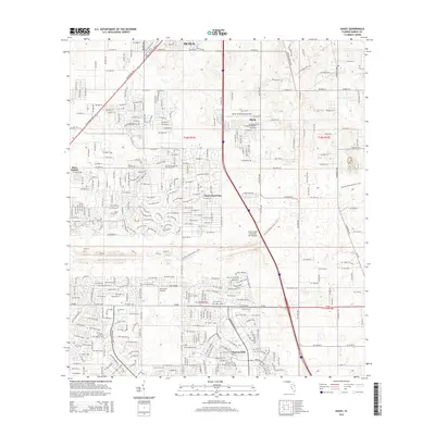 2015 Shady2015 Print · USGSMarion County just south of the city of Ocala shows a landscape of modern residential growth and extensive greenway conservation. Researchers can trace the path of the Florida National Scenic Trail and locate local landmarks like Marion Oaks and Shady International Airport.
 - 2018 Map of Shady, 2018 Print
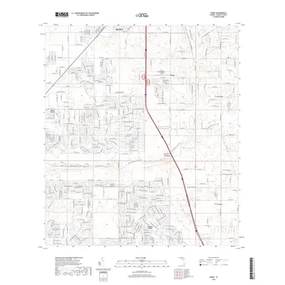 2018 Shady2018 Print · USGSMarion County in the late twenty-teens shows a landscape of growing residential grids and local aviation hubs. Researchers can trace the development of Marion Oaks and find local landmarks like Shady International Airport and Ross Prairie.
 - 2021 Map of Shady, 2021 Print
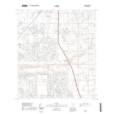 2021 Shady2021 Print · USGSThe southern outskirts of Marion County are seen here in their modern form, as residential growth extends toward the wetlands of Ross Prairie. Local researchers can trace the development of Marion Oaks and the aviation footprints of Shady International Airport and McGinley Airport.
 - 2024 Map of Shady, 2024 Print
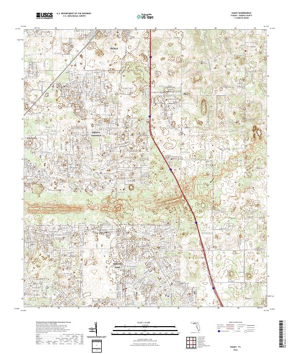 2024 Shady2024 Print · USGSMarion County's southern corridor is shown in detail during its modern period of residential and recreational growth. Trace the path of the Cross Florida Greenway and locate landmarks like Shady International Airport and Marion Oaks.
End of results
Showing maps 1-12 of 12
Frequently asked questions
- What are the different types of historical maps available for Meadowridge Subdivision?
- What is the oldest map of Meadowridge Subdivision?
- Where can I purchase historical maps of Meadowridge Subdivision for my home or office?
- Where can I download high-res historical maps of Meadowridge Subdivision?
- Are there historical topographic maps available for Meadowridge Subdivision?
- Is there historical aerial imagery available for Meadowridge Subdivision?
- Where are historical maps of Meadowridge Subdivision sourced from?