Old Maps of Conch Key, Florida for Academic Research
Study the evolution of Conch Key with 8 high-resolution historic maps. Whether you're teaching, researching, or modeling changes in land use, these maps provide essential visual documentation of urban, environmental, and geographic change.
- Analyze long-term change: Track patterns in development, transportation, and natural features.
- Ideal for environmental or urban studies: Support academic projects with primary historical map data.
- Use in the classroom or lab: Educators and researchers rely on these maps to bring historical context to life.
These maps are a powerful tool for teaching, research, and visualizing how Conch Key has changed over the decades.
Conch Key, FL maps
(8)- 1971 Map of Grassy Key, 1973 Print
 1971 Grassy Key1973 Print · USGSThe Middle Florida Keys are seen in the early seventies during a period of infrastructure growth and coastal mapping. Historians can trace the development of Duck Key, the path of the Long Key Viaduct, and the layout of Grassy Key and Conch Key.2 unique versions available
 - 1983 Map of Islamorada, 1984 Print
 1983 Islamorada1984 Print · USGSThe Florida Keys at the start of the 1980s show a delicate balance of tourism and preservation along the Overseas Highway. Researchers can trace the development of island communities like Islamorada and Layton, or locate landmarks such as the Long Key Viaduct and Indian Key.
 - 1989 Map of Key West, 1990 Print
 1989 Key West1990 Print · USGSThe Florida Keys at the end of the eighties reveal a complex maritime network of coral islands, military outposts, and protected wilderness. Researchers can trace the Overseas Highway across the Sevenmile Bridge and locate features like the U S Naval Air Station Key West and the National Key Deer Refuge.
 - 2012 Map of Grassy Key, 2012 Print
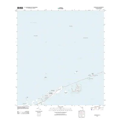 2012 Grassy Key2012 Print · USGSThe Middle Keys of Florida are shown in the early 2010s as the Overseas Hwy connects isolated island communities. Researchers can trace the development of Duck Key, the docks at Conch Key, and specialized sites like the Flying Bonefish Seaplane Base.
 - 2015 Map of Grassy Key, 2015 Print
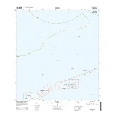 2015 Grassy Key2015 Print · USGSThe Florida Middle Keys are shown in the mid-2010s, capturing the detailed street grids and maritime passages of this island chain. Researchers can trace the developed neighborhoods of Duck Key and Marathon or locate coastal landmarks like Burnt Point and the Long Key Viaduct.
 - 2018 Map of Grassy Key, 2018 Print
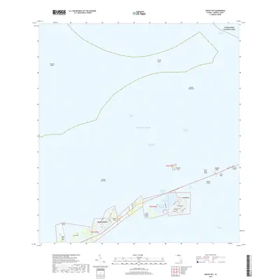 2018 Grassy Key2018 Print · USGSThe Middle Keys are captured in the late 2010s, revealing the intricate layout of residential canal communities and the Overseas Highway. Local historians can trace the development of Marathon and Duck Key, or locate landmarks like the Long Key Viaduct and Conch Key.
 - 2021 Map of Grassy Key, 2021 Print
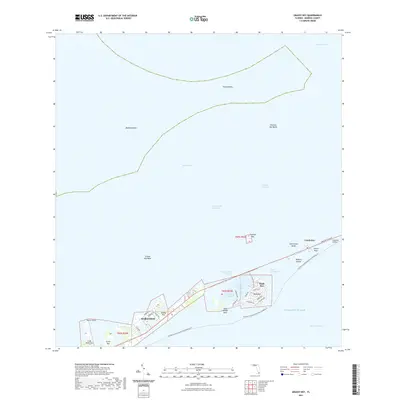 2021 Grassy Key2021 Print · USGSThe Middle Florida Keys are shown in their contemporary layout, spanning the developed islands from Marathon to the Long Key Viaduct. Researchers can trace the modern street grids of Duck Key and Grassy Key or locate navigational landmarks like Bamboo Banks and Toms Harbor.
 - 2024 Map of Grassy Key, 2024 Print
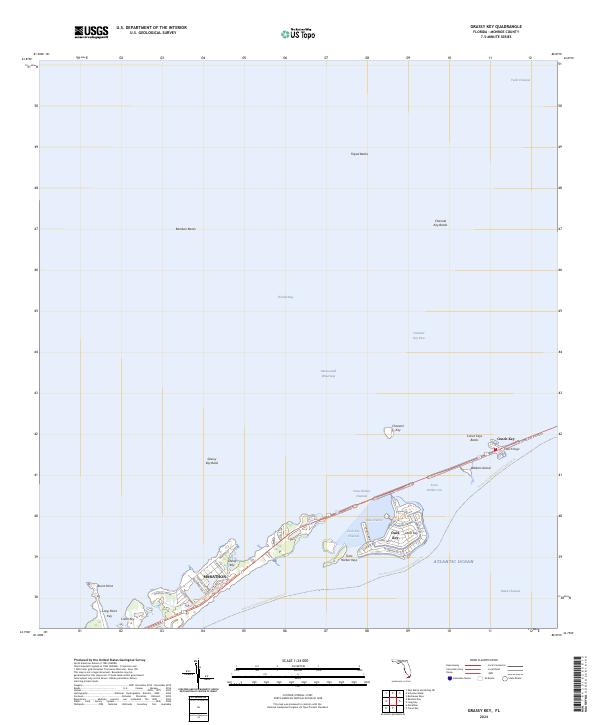 2024 Grassy Key2024 Print · USGSThe Middle Keys come alive in this contemporary survey, showing the islands as they appear today. Trace the modern footprint of Marathon and Duck Key, or follow the path of the Florida Keys Overseas Heritage Trl across the Long Key Viaduct.
End of results
Showing maps 1-8 of 8
Top cities near Conch Key
- Marathon historical maps
- Islamorada historical maps
- Key Colony Beach historical maps
- Layton historical maps
Frequently asked questions
- What are the different types of historical maps available for Conch Key?
- What is the oldest map of Conch Key?
- Where can I purchase historical maps of Conch Key for my home or office?
- Where can I download high-res historical maps of Conch Key?
- Are there historical topographic maps available for Conch Key?
- Is there historical aerial imagery available for Conch Key?
- Where are historical maps of Conch Key sourced from?