Old Maps of Downtown, Key West for Metal Detecting
Plan your next treasure hunt with 12 historic maps of Downtown. Find old homesites, ghost towns, trails, and gathering spots that may be lost to time — perfect for identifying promising metal detecting locations.
- Locate forgotten sites: Uncover places like long-lost settlements, abandoned rail lines, or gathering spots.
- Plan better hunts: Use map overlays combined with LiDAR or satellite views to narrow in on historically rich areas.
- Made for detectorists: Thousands of hobbyists use these maps to discover relics, coins, and hidden history.
Use these historic maps to boost your research and find new opportunities beneath the surface of Downtown.
Downtown, Key West maps
(12)- 1921 Map of Key West
 1921 Key West1921 Print · USGSKey West at the end of the Florida East Coast Railway era is meticulously detailed in this early twentieth-century tactical survey. You can trace the island's coastal defenses at the E. Martello Tower and locate maritime landmarks like the N.W. Bar Light.
 - 1943 Map of Key West
 1943 Key West1943 Print · USGSKey West was a fortified maritime center during the war years, serving as a vital strategic link between the Gulf and the Atlantic. Researchers can locate military landmarks like Fort Taylor and Meacham Field, alongside old harbor features such as Key West Bight and Trumbo Island.3 unique versions available
 - 1962 Map of Key West
 1962 Key West1962 Print · USGSKey West at the start of the sixties reveals a unique landscape where military readiness and island life converged. Genealogists and historians can trace the evolution of Key West Island through landmarks like Fort Taylor, Meacham Field, and Stock I.
 - 1971 Map of Key West, 1973 Print
 1971 Key West1973 Print · USGSKey West at the beginning of the 1970s reveals a bustling island city integrated with massive naval and aviation facilities. Genealogists and historians can trace the urban grid near City Cemetery, the shoreline at Smathers Beach, and military sites like Fort Taylor.2 unique versions available
 - 1983 Map of Key West, 1984 Print
 1983 Key West1984 Print · USGSThe Lower Florida Keys are shown in detail in the early 1980s, centered on the military and civilian infrastructure of the archipelago. Trace the path of the Overseas Highway across the Sevenmile Bridge and locate historic sites like Bahia Honda State Park.2 unique versions available
 - 1989 Map of Key West, 1990 Print
 1989 Key West1990 Print · USGSThe Florida Keys at the end of the eighties reveal a complex maritime network of coral islands, military outposts, and protected wilderness. Researchers can trace the Overseas Highway across the Sevenmile Bridge and locate features like the U S Naval Air Station Key West and the National Key Deer Refuge.
 - 2012 Map of Key West, 2012 Print
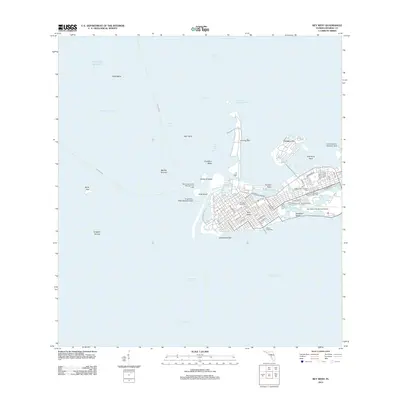 2012 Key West2012 Print · USGSKey West at the start of the 2010s shows a landscape defined by maritime heritage and modern aviation. Researchers can trace the layout of island neighborhoods and find landmarks like the Southern Keys Cem, White Street Pier, and Trumbo Point.
 - 2015 Map of Key West, 2015 Print
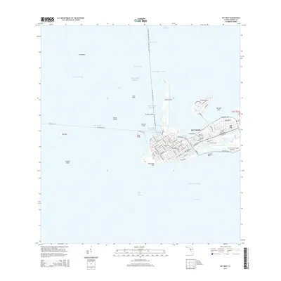 2015 Key West2015 Print · USGSKey West and its surrounding waters are captured here in the mid-2010s, showing the intersection of urban development and tropical maritime routes. Researchers can trace the layout of the Southern Keys, locate the central Cem, and follow ferry lines like the Dry Tortugas Fry.
 - 2018 Map of Key West, 2018 Print
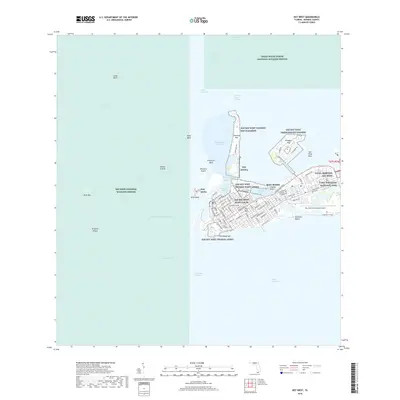 2018 Key West2018 Print · USGSKey West and its surrounding waters are charted here in the late 2010s, showcasing a dense mix of historic town blocks and modern naval facilities. Researchers can trace the street-level details of the city, the grounds of the Key West Cem, and shoreline features like Smathers Beach or Whitehead Spit.
 - 2021 Map of Key West, 2021 Print
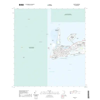 2021 Key West2021 Print · USGSKey West and its surrounding islands appear in high detail during this contemporary period of growth and conservation. Genealogists and historians can trace significant landmarks like the Key West Cem, the Truman Annex, and the African Slave Cem at Higgs Beach.
 - 2024 Map of Key West, 2024 Print
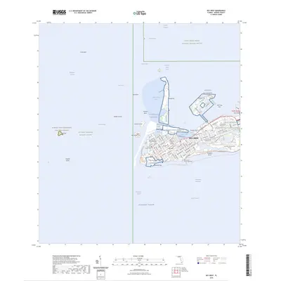 2024 Key West2024 Print · USGSKey West’s dense island grid and surrounding tropical waters are documented here in recent detail. Researchers can locate historic burial sites like the African Slave Cem at Higgs Beach, federal installations at Trumbo Point Annex, and waterfront markers from Whitehead Spit to Garrison Bight.
 - 2025 Map of Key West, 2025 Print
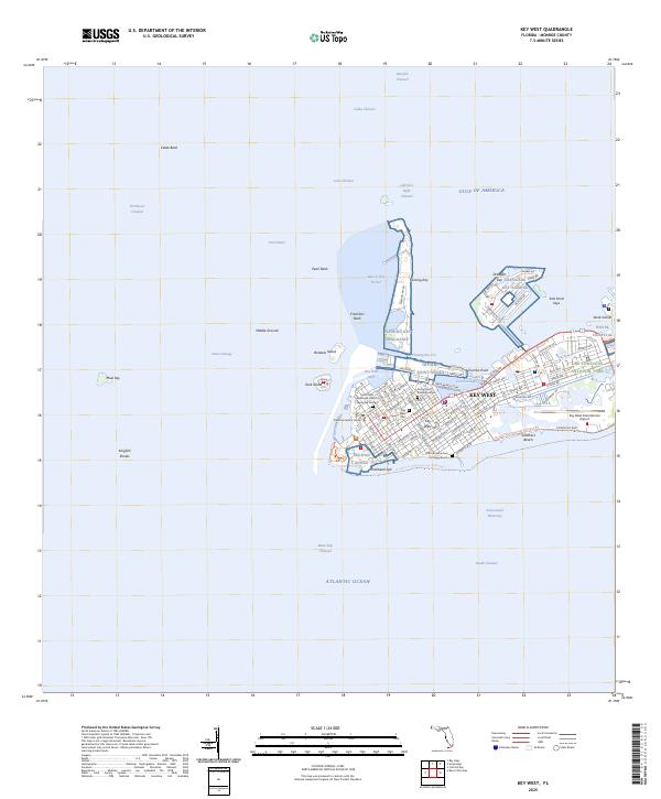 2025 Key West2025 Print · USGSKey West and its surrounding coral keys are captured in this recent survey of Florida's southernmost frontier. Researchers can trace the layout of the Key West Cem, locate the African Slave Cem at Higgs Beach, and explore the military footprints of the Truman Annex.
End of results
Showing maps 1-12 of 12
Frequently asked questions
- What are the different types of historical maps available for Downtown?
- What is the oldest map of Downtown?
- Where can I purchase historical maps of Downtown for my home or office?
- Where can I download high-res historical maps of Downtown?
- Are there historical topographic maps available for Downtown?
- Is there historical aerial imagery available for Downtown?
- Where are historical maps of Downtown sourced from?