2000s (21st Century) Maps of Okeechobee, Florida
Explore 10 historic maps of Okeechobee from the 2000s (21st Century). These maps offer a rare glimpse into what life looked like during the 2000s — showing old roads, neighborhoods, homes, and landmarks that have changed or disappeared over time.
Whether you're researching your family's past, planning a metal detecting trip, or studying how Okeechobee's landscape evolved across the 2000s, these high-resolution maps are a powerful tool for exploring the history of this region.
- Focus on a specific era: All maps on this page are from the 2000s, giving you a focused view of this time period.
- See what’s changed: Compare century-old streets, trails, and buildings to today's modern landscape using overlays and satellite layers.
- Research with precision: Use these maps for genealogy, historical research, land use analysis, or educational projects.
- View, download, or print: Maps are fully viewable online in high resolution, and can be downloaded or printed for your own records.
Start exploring Okeechobee's history through authentic maps from the 2000s. This is your window into the past.
Okeechobee, FL maps
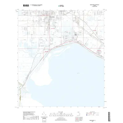
(10)- 2012 Map of Taylor Creek SE, 2012 Print
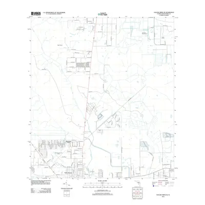 2012 Taylor Creek SE2012 Print · USGSCovers Okeechobee, including Basswood Estates, Barber Quarters, and other nearby areas
 - 2012 Map of Okeechobee, 2012 Print
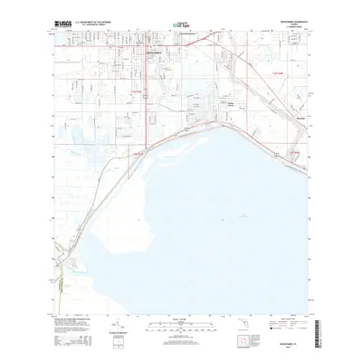
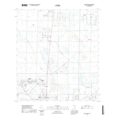
 2012 Okeechobee2012 Print · USGSCovers Okeechobee, including Taylor Creek, Sherman, and other nearby areas
 - 2015 Map of Taylor Creek SE, 2015 Print
 2015 Taylor Creek SE2015 Print · USGSCovers Okeechobee, including Basswood Estates, Barber Quarters, and other nearby areas
 - 2015 Map of Okeechobee, 2015 Print
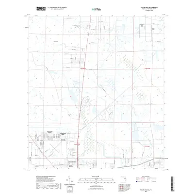
 2015 Okeechobee2015 Print · USGSCovers Okeechobee, including Taylor Creek, Sherman, and other nearby areas
 - 2018 Map of Okeechobee, 2018 Print
 2018 Okeechobee2018 Print · USGSCovers Okeechobee, including Taylor Creek, Sherman, and other nearby areas
 - 2018 Map of Taylor Creek SE, 2018 Print
 2018 Taylor Creek SE2018 Print · USGSCovers Okeechobee, including Basswood Estates, Barber Quarters, and other nearby areas
 - 2021 Map of Okeechobee, 2021 Print
 2021 Okeechobee2021 Print · USGSCovers Okeechobee, including Taylor Creek, Sherman, and other nearby areas
 - 2021 Map of Taylor Creek SE, 2021 Print
 2021 Taylor Creek SE2021 Print · USGSCovers Okeechobee, including Basswood Estates, Barber Quarters, and other nearby areas
 - 2024 Map of Okeechobee, 2024 Print
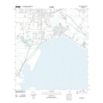
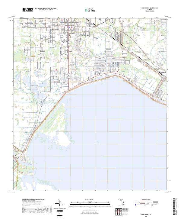 2024 Okeechobee2024 Print · USGSThe northern shores of the Big Water come into focus in this contemporary survey of the Okeechobee area. Trace the modern street grid and shoreline developments near Cypress Quarters, the Okeechobee County Judicial Center, and the mouth of the Kissimmee River.
 - 2024 Map of Taylor Creek SE, 2024 Print
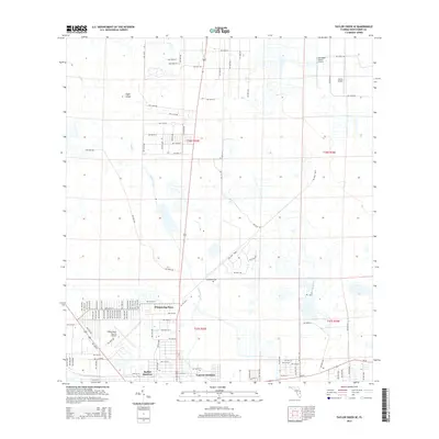
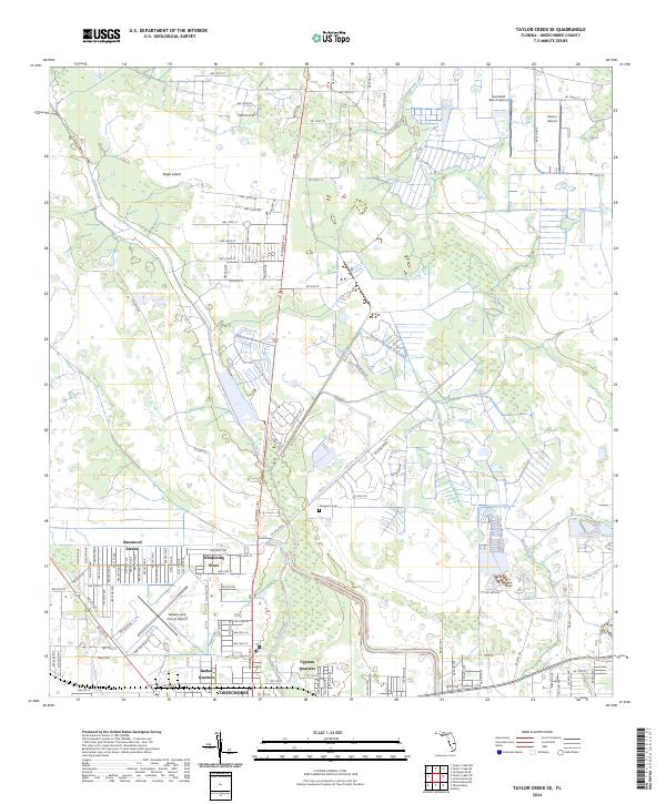 2024 Taylor Creek SE2024 Print · USGSFlorida's northern lake country is shown in this recent survey, centered on the growing city of Okeechobee. Genealogists and researchers can trace local neighborhoods like Barber Quarters and Cypress Quarters, or locate Evergreen Cem.
End of results
Showing maps 1-10 of 10
Top neighborhoods of Okeechobee
Frequently asked questions
- What are the different types of historical maps available for Okeechobee?
- What is the oldest map of Okeechobee?
- Where can I purchase historical maps of Okeechobee for my home or office?
- Where can I download high-res historical maps of Okeechobee?
- Are there historical topographic maps available for Okeechobee?
- Is there historical aerial imagery available for Okeechobee?
- Where are historical maps of Okeechobee sourced from?