2020s Maps of Palm Beach, Florida
Explore 6 historic maps of Palm Beach from the 2020s. These maps offer a rare glimpse into what life looked like during the 2020s — showing old roads, neighborhoods, homes, and landmarks that have changed or disappeared over time.
Whether you're researching your family's past, planning a metal detecting trip, or studying how Palm Beach's landscape evolved across the 2020s, these high-resolution maps are a powerful tool for exploring the history of this region.
- Focus on a specific era: All maps on this page are from the 2020s, giving you a focused view of this time period.
- See what’s changed: Compare century-old streets, trails, and buildings to today's modern landscape using overlays and satellite layers.
- Research with precision: Use these maps for genealogy, historical research, land use analysis, or educational projects.
- View, download, or print: Maps are fully viewable online in high resolution, and can be downloaded or printed for your own records.
Start exploring Palm Beach's history through authentic maps from the 2020s. This is your window into the past.
Palm Beach, FL maps
(6)- 2021 Map of Lake Worth, 2021 Print
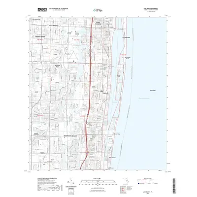 2021 Lake Worth2021 Print · USGSCovers Palm Beach, including Boynton Beach, Lake Worth Beach, and other nearby areas
 - 2021 Map of Palm Beach, 2021 Print
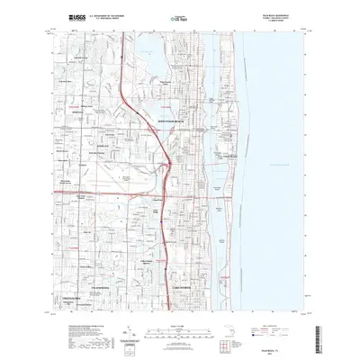 2021 Palm Beach2021 Print · USGSCovers Palm Beach, including West Palm Beach, Palm Springs, and other nearby areas
 - 2021 Map of Riviera Beach, 2021 Print
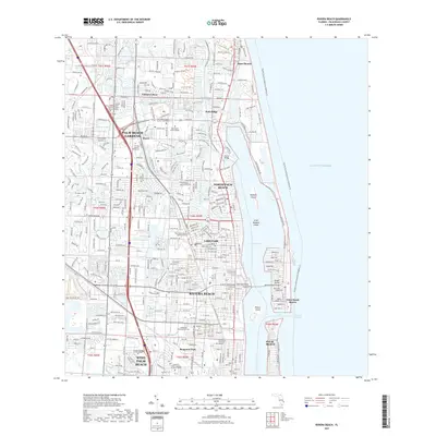 2021 Riviera Beach2021 Print · USGSCovers Palm Beach, including West Palm Beach, Riviera Beach, and other nearby areas
 - 2024 Map of Lake Worth, 2024 Print
 2024 Lake Worth2024 Print · USGSThe Florida coastline near Lake Worth Beach shows its modern density and complex waterways in this recent survey. Researchers can trace the layout of coastal towns like Lantana and Boynton Beach or locate regional landmarks like Evergreen Cem and Hypoluxo Island.
 - 2024 Map of Riviera Beach, 2024 Print
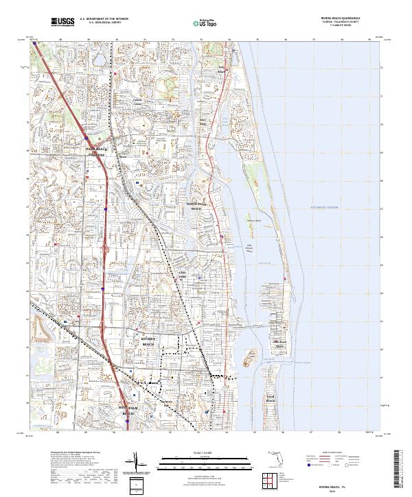 2024 Riviera Beach2024 Print · USGSThe Palm Beach coastline is captured here in its modern state, showing the dense development of the barrier islands and mainland. Genealogists and historians can locate Glenwood Memorial Cem or trace the shoreline from Singer Island to Juno Beach.
 - 2024 Map of Palm Beach, 2024 Print
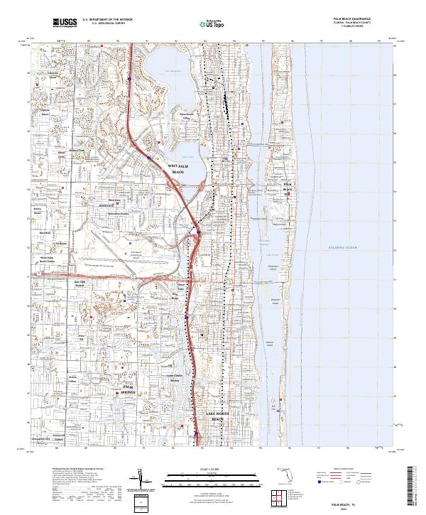 2024 Palm Beach2024 Print · USGSCoastal Florida thrives in this contemporary look at the mainland and barrier islands, showing the dense growth around the Intracoastal Waterway. Genealogists and historians can trace local landmarks like Evergreen Cem, Woodlawn Cem, and the old neighborhood of Golfview.
End of results
Showing maps 1-6 of 6
Top cities near Palm Beach
- West Palm Beach historical maps
- Boynton Beach historical maps
- Delray Beach historical maps
- Wellington historical maps
- Palm Beach Gardens historical maps
- Lake Worth Beach historical maps
See more
Frequently asked questions
- What are the different types of historical maps available for Palm Beach?
- What is the oldest map of Palm Beach?
- Where can I purchase historical maps of Palm Beach for my home or office?
- Where can I download high-res historical maps of Palm Beach?
- Are there historical topographic maps available for Palm Beach?
- Is there historical aerial imagery available for Palm Beach?
- Where are historical maps of Palm Beach sourced from?