Old Maps of New Port Richey, Florida
Explore 23 old maps of New Port Richey, spanning from 1943 to today. These high-resolution historic maps reveal how streets, neighborhoods, landmarks, and natural features evolved over time — perfect for genealogy, metal detecting, research, and local history exploration.
What you can do with these maps:
- See how New Port Richey changed over time: Compare historical maps to modern-day views to trace roads, homesites, rail lines & more.
- View detailed metadata: Each map includes creators, publishers, year, scale, and archive source.
- Overlay maps with satellite & LiDAR: Visualize the past alongside modern tools to explore terrain & human change.
- Trusted historical sources: Maps sourced from the USGS, Library of Congress, and other archives.
- Access maps your way: View online, download high-res files, or order prints for personal or research use.
Start exploring old maps of New Port Richey to uncover forgotten places, hidden landmarks, and the deep history beneath your feet.
New Port Richey, FL maps
(23)- 1943 Map of Elfers, 1957 Print
 1943 Elfers1957 Print · USGSThe Florida Gulf Coast comes alive in the 1940s as settlements like New Port Richey and Tarpon Springs begin to take shape. Genealogists and researchers can trace the historic Dixie Highway and locate rural landmarks such as Elfers and Seven Springs.2 unique versions available
 - 1944 Map of Elfers
 1944 Elfers1944 Print · USGSThe Florida Gulf coast comes into focus during the mid-1940s as the communities of New Port Richey and Elfers begin to expand. Genealogists and local historians can trace family locations near Seven Springs, the Anclote River, and early rail lines like the Seaboard Air Line.
 - 1948 Map of Elfers
 1948 Elfers1948 Print · USGSThe Florida Gulf Coast near the Pasco and Pinellas border comes alive in this post-war survey. Genealogists and researchers can trace early settlements at New Port Richey, Elfers, and Seven Springs while following the Seaboard Air Line through the cypress swamps.
 - 1954 Map of Port Richey, 1955 Print
 1954 Port Richey1955 Print · USGSMid-century Pasco County coastal life is captured here as the towns of Port Richey and New Port Richey began to grow along the Pithlachascotee River. Genealogists and local historians can locate early landmarks such as the Stark Cem, Union Ch, and the Booker T Washington Sch.4 unique versions available
 - 1955 Map of Plant City, 1966 Print
 1955 Plant City1966 Print · USGSMid-century Central Florida comes to life in this survey of the Nature Coast and the inland citrus and rail belt. Genealogists and historians can trace the paths of the Atlantic Coast Line, locate the Anclote Keys Lighthouse, or find old communities like Masaryktown and Lacoochee.6 unique versions available
 - 1958 Map of Plant City
 1958 Plant City1958 Print · USGSFlorida's Gulf Coast and inland ridge country are captured here in the mid-fifties, showing the region before modern sprawl. Genealogists and historians can trace rail-era towns like Richland and Trilby or locate coastal landmarks such as the Anclote Keys Lighthouse.
 - 1959 Map of Plant City
 1959 Plant City1959 Print · USGSThe West Florida coast and inland timberlands are captured here in the late fifties, from the bend of the Gulf to the rail hubs of the interior. Trace the paths of the Atlantic Coast Line through Inverness and find landmarks like the Anclote Keys Lighthouse.
 - 1964 Map of Plant City
 1964 Plant City1964 Print · USGSThe West Florida coast and its interior rail corridors come alive in this mid-sixties survey, spanning from the gulf marshes to the agricultural heartland. Researchers can trace the routes of the Atlantic Coast Line through settlements like Bushnell, Inverness, and Plant City.
 - 1974 Map of Elfers, 1975 Print
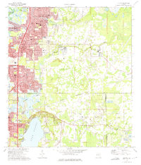 1974 Elfers1975 Print · USGSThe West Florida coast in the mid-seventies shows a landscape in transition as suburbs replaced rural sloughs and bayous. Genealogists and historians can trace the growth of New Port Richey, locate several burial grounds like East Elfers Cem, and follow the Seaboard Coast Line through Seven Springs.2 unique versions available
 - 1978 Map of Tarpon Springs, 1982 Print
 1978 Tarpon Springs1982 Print · USGSCoastal Florida is shown during its late-century period of rapid growth, from the Gulf shores to the deep inland swamps. Researchers can trace the development of the Intracoastal Waterway and locate regional landmarks like the Anclote Missile Tracking Annex and Lake Tarpon.
 - 1998 Map of Elfers, 2001 Print
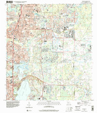 1998 Elfers2001 Print · USGSCoastal Pasco and Pinellas counties are seen here in the late twentieth century as suburban growth filled the corridors between historic river settlements. Trace local family roots at East Elfers Cem or locate community landmarks like Riverside Chapel and the Tampa Bay Executive Airport.
 - 1998 Map of Port Richey, 2002 Print
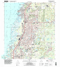 1998 Port Richey2002 Print · USGSCoastal Pasco County underwent significant residential expansion in the late nineties, blending suburban growth with protected salt marshes. Genealogists and local historians can trace neighborhood development in Jasmine Estates and Bayonet Point or locate the historic Hudson Cem and Union Ch.
 - 2012 Map of Elfers, 2012 Print
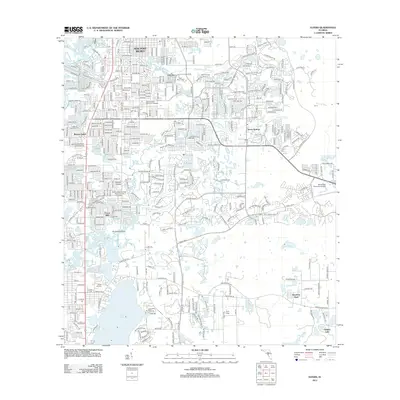 2012 Elfers2012 Print · USGSThe northern Tampa Bay suburbs in the early 2010s reveal a landscape of dense residential growth interspersed with coastal waterways. Genealogists and researchers can trace the vicinity of New Port Richey and locate landmarks like East Elfers Cem or Lake Tarpon.
 - 2012 Map of Port Richey, 2012 Print
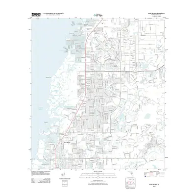 2012 Port Richey2012 Print · USGSCoastal Pasco County is shown here in the early twenty-first century as suburban expansion reaches the edge of the gulf marshes. Trace local history through landmarks like Hidden Lake Airport, the Stark Cem, and the winding Pithlachascotee River.
 - 2015 Map of Elfers, 2015 Print
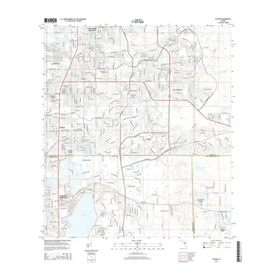 2015 Elfers2015 Print · USGSThe Florida Gulf Coast between Pasco and Pinellas counties shows a dense network of suburban growth and coastal waterways in this 2015 survey. Researchers can trace local history through sites like East Elfers Cemetery and the historic center of Tarpon Springs.
 - 2015 Map of Port Richey, 2015 Print
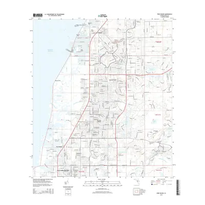 2015 Port Richey2015 Print · USGSThe Pasco County coast in the mid-2010s reveals a complex landscape of residential growth and intricate coastal waterways. Genealogists and local historians can trace the foundations of the community at the Hudson Cemetery and Stark Cemetery or explore the development of Bayonet Point and Jasmine Estates.
 - 2018 Map of Elfers, 2018 Print
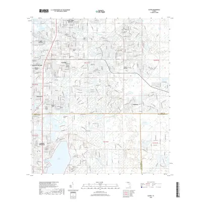 2018 Elfers2018 Print · USGSThe Florida Gulf Coast comes into focus in this late-period survey of the growing corridor between New Port Richey and Tarpon Springs. Researchers can locate family sites and landmarks like East Elfers Cem, Lake Tarpon, and the Trinity College of Florida.
 - 2018 Map of Port Richey, 2018 Print
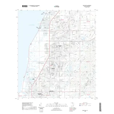 2018 Port Richey2018 Print · USGSThe Pasco County coastline at the peak of its modern residential growth is captured here, showing the intricate finger canals and suburban expansion. Genealogists and local historians can locate Stark Cem, Hudson Cem, and the Hidden Lake Airport.
 - 2021 Map of Port Richey, 2021 Print
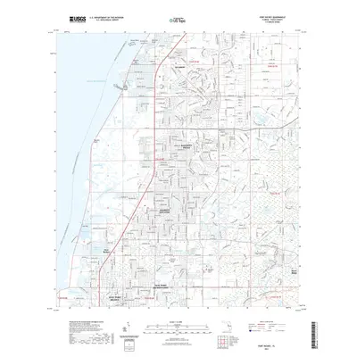 2021 Port Richey2021 Print · USGSCoastal Pasco County is shown here in the early 2020s as a complex network of suburban neighborhoods and gulf-side marshes. Researchers can trace the layout of Hudson and Port Richey, find the Hudson Cem, or locate the Hidden Lake Airport.
 - 2021 Map of Elfers, 2021 Print
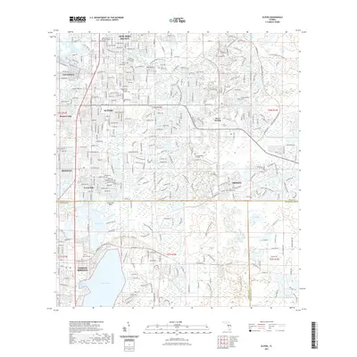 2021 Elfers2021 Print · USGSThe Florida Gulf Coast near the Pasco and Pinellas county line is shown here in the early 2020s, balancing modern suburban growth with significant nature preserves. Researchers can locate the historic East Elfers Cem, the banks of Lake Tarpon, and trails winding through the Brooker Creek Preserve Trl.
 - 2024 Map of Elfers, 2024 Print
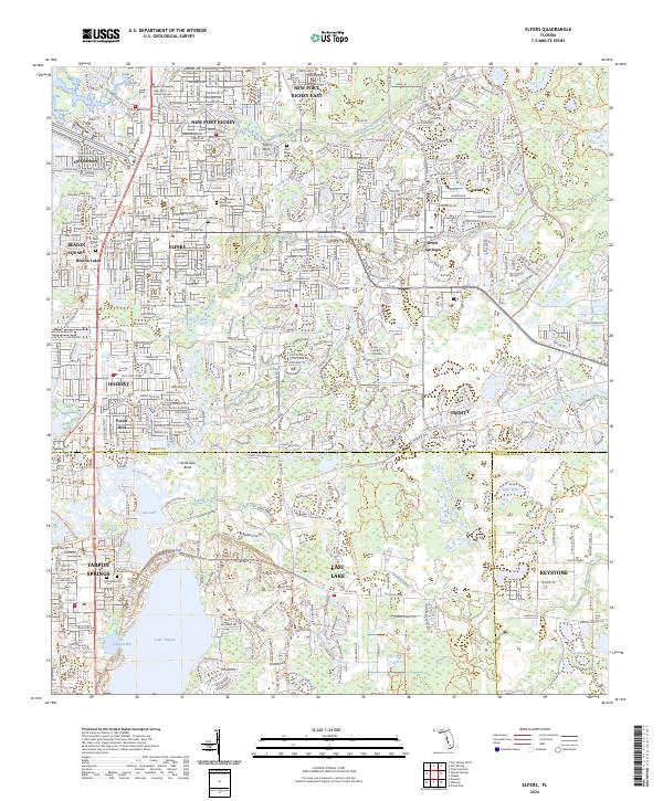 2024 Elfers2024 Print · USGSThe Florida Gulf Coast near Tarpon Springs and Elfers is shown in this modern era of suburban expansion and waterway preservation. Researchers can trace the layout of local cemeteries like Rose Cem and explore the geography of Lake Tarpon.
 - 2024 Map of Port Richey, 2024 Print
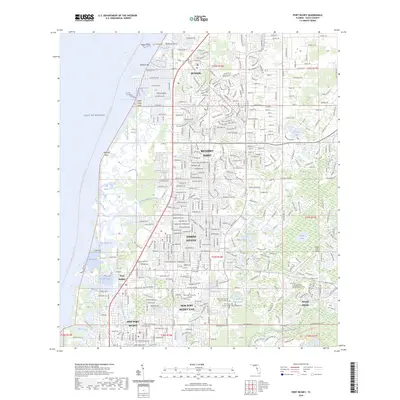 2024 Port Richey2024 Print · USGSThe Pasco County coastline at the start of the 2020s shows a landscape of dense residential growth and intricate waterways. Researchers can trace the development of Jasmine Estates and River Ridge or locate local landmarks like Pine Hill Cem and the Pithlachascotee River.
 - 2025 Map of Port Richey, 2025 Print
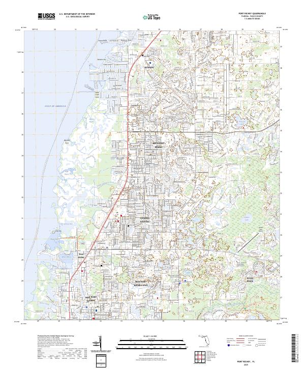 2025 Port Richey2025 Print · USGSThe Florida Gulf Coast near Port Richey is shown here in its modern development, where intricate tidal bayous meet expanding residential communities. Genealogists and local historians can locate Hudson Cem, Pine Hill Cem, and landmarks like the Hidden Lake Airport.
End of results
Showing maps 1-23 of 23
Frequently asked questions
- What are the different types of historical maps available for New Port Richey?
- What is the oldest map of New Port Richey?
- Where can I purchase historical maps of New Port Richey for my home or office?
- Where can I download high-res historical maps of New Port Richey?
- Are there historical topographic maps available for New Port Richey?
- Is there historical aerial imagery available for New Port Richey?
- Where are historical maps of New Port Richey sourced from?