Old Maps of Saint Leo, Florida for Hiking & Exploration
Hike through history with 17 historic maps of Saint Leo. Explore old trails, ghost towns, and forgotten backroads — perfect for outdoor adventurers and local explorers.
- Rediscover forgotten places: Map out old mining camps, roads, and footpaths that no longer exist on modern maps.
- Layer with modern tools: Combine with LiDAR or satellite views to plan hikes through historical terrain.
- Made for exploration: Popular among hikers, overlanders, and local history lovers.
Use these maps to find adventure and explore the hidden past of Saint Leo.
Saint Leo, FL maps
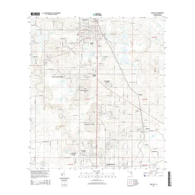
(17)- 1954 Map of San Antonio, 1955 Print
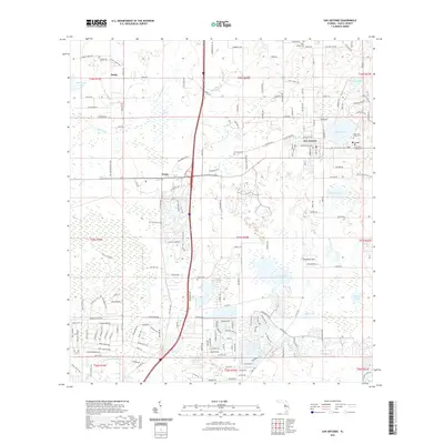
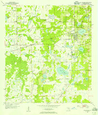 1954 San Antonio1955 Print · USGSMid-century Pasco County comes into focus in this detailed survey of the citrus and lake country around San Antonio. Genealogists and historians can trace early community hubs like St Leo and Darby, or locate family sites at Holden Cem and Amelia Ch.4 unique versions available
 - 1955 Map of Plant City, 1966 Print
 1955 Plant City1966 Print · USGSMid-century Central Florida comes to life in this survey of the Nature Coast and the inland citrus and rail belt. Genealogists and historians can trace the paths of the Atlantic Coast Line, locate the Anclote Keys Lighthouse, or find old communities like Masaryktown and Lacoochee.6 unique versions available
 - 1958 Map of Plant City
 1958 Plant City1958 Print · USGSFlorida's Gulf Coast and inland ridge country are captured here in the mid-fifties, showing the region before modern sprawl. Genealogists and historians can trace rail-era towns like Richland and Trilby or locate coastal landmarks such as the Anclote Keys Lighthouse.
 - 1959 Map of Plant City
 1959 Plant City1959 Print · USGSThe West Florida coast and inland timberlands are captured here in the late fifties, from the bend of the Gulf to the rail hubs of the interior. Trace the paths of the Atlantic Coast Line through Inverness and find landmarks like the Anclote Keys Lighthouse.
 - 1960 Map of Dade City, 1962 Print
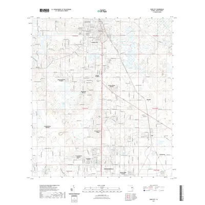
 1960 Dade City1962 Print · USGSPasco County's interior comes into focus during the early 1960s, showing the intersection of Florida's citrus economy and rail history. Trace the old lines of the Atlantic Coast Line to junctions at Vitis or find family history at Mount Zion Cemetery and Tommytown.4 unique versions available
 - 1964 Map of Plant City
 1964 Plant City1964 Print · USGSThe West Florida coast and its interior rail corridors come alive in this mid-sixties survey, spanning from the gulf marshes to the agricultural heartland. Researchers can trace the routes of the Atlantic Coast Line through settlements like Bushnell, Inverness, and Plant City.
 - 1978 Map of Tarpon Springs, 1982 Print
 1978 Tarpon Springs1982 Print · USGSCoastal Florida is shown during its late-century period of rapid growth, from the Gulf shores to the deep inland swamps. Researchers can trace the development of the Intracoastal Waterway and locate regional landmarks like the Anclote Missile Tracking Annex and Lake Tarpon.
 - 2012 Map of Dade City, 2012 Print
 2012 Dade City2012 Print · USGSCovers Saint Leo, including Dade City, Ellerslie, and other nearby areas
 - 2012 Map of San Antonio, 2012 Print
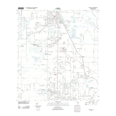
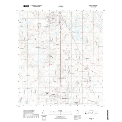
 2012 San Antonio2012 Print · USGSCovers Saint Leo, including San Antonio, Pasco, and other nearby areas
 - 2015 Map of Dade City, 2015 Print
 2015 Dade City2015 Print · USGSCovers Saint Leo, including Dade City, Ellerslie, and other nearby areas
 - 2015 Map of San Antonio, 2015 Print
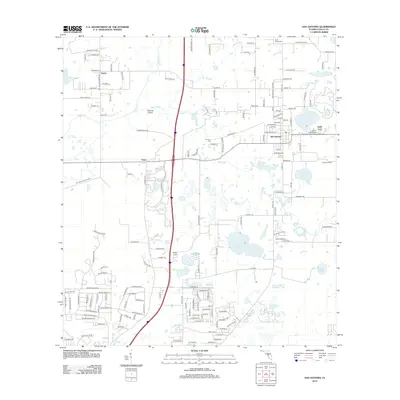
 2015 San Antonio2015 Print · USGSCovers Saint Leo, including San Antonio, Pasco, and other nearby areas
 - 2018 Map of Dade City, 2018 Print
 2018 Dade City2018 Print · USGSCovers Saint Leo, including Dade City, Ellerslie, and other nearby areas
 - 2018 Map of San Antonio, 2018 Print
 2018 San Antonio2018 Print · USGSCovers Saint Leo, including San Antonio, Pasco, and other nearby areas
 - 2021 Map of San Antonio, 2021 Print
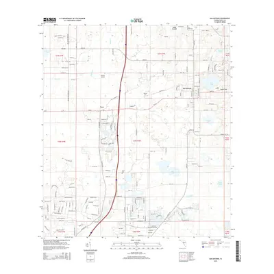
 2021 San Antonio2021 Print · USGSCovers Saint Leo, including San Antonio, Pasco, and other nearby areas
 - 2021 Map of Dade City, 2021 Print
 2021 Dade City2021 Print · USGSCovers Saint Leo, including Dade City, Ellerslie, and other nearby areas
 - 2024 Map of San Antonio, 2024 Print
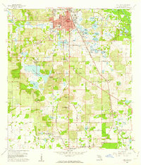
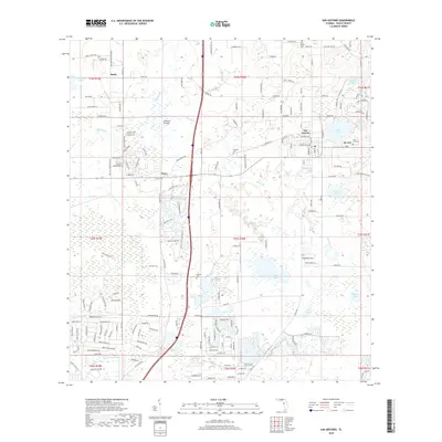
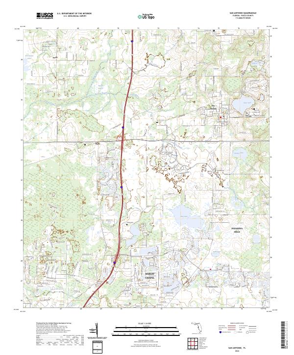 2024 San Antonio2024 Print · USGSPasco County's eastern ridges and lakes are captured here in the mid-2020s, showcasing the traditional centers of San Antonio and St. Leo. Family historians can trace local roots through the Saint Leo Abbey Cem or locate the sprawling grounds of Saint Leo University.
 - 2024 Map of Dade City, 2024 Print
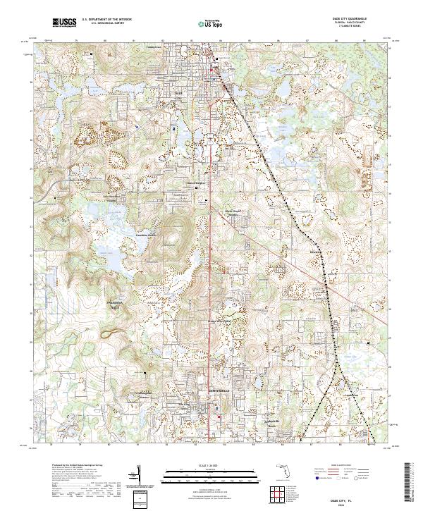 2024 Dade City2024 Print · USGSPasco County's lake country and the growing corridor between Dade City and Zephyrhills are documented in this recent survey. Local historians can trace family roots through several landmarks including Mount Zion Cemetery, St. Leo, and Ellerslie.
End of results
Showing maps 1-17 of 17
Top cities near Saint Leo
- Tampa historical maps
- Lakeland historical maps
- Lutz historical maps
- Zephyrhills historical maps
- Brooksville historical maps
- Dade City historical maps
See more
Frequently asked questions
- What are the different types of historical maps available for Saint Leo?
- What is the oldest map of Saint Leo?
- Where can I purchase historical maps of Saint Leo for my home or office?
- Where can I download high-res historical maps of Saint Leo?
- Are there historical topographic maps available for Saint Leo?
- Is there historical aerial imagery available for Saint Leo?
- Where are historical maps of Saint Leo sourced from?