2000s (21st Century) Maps of Indian Rocks Beach, Florida
Explore 12 historic maps of Indian Rocks Beach from the 2000s (21st Century). These maps offer a rare glimpse into what life looked like during the 2000s — showing old roads, neighborhoods, homes, and landmarks that have changed or disappeared over time.
Whether you're researching your family's past, planning a metal detecting trip, or studying how Indian Rocks Beach's landscape evolved across the 2000s, these high-resolution maps are a powerful tool for exploring the history of this region.
- Focus on a specific era: All maps on this page are from the 2000s, giving you a focused view of this time period.
- See what’s changed: Compare century-old streets, trails, and buildings to today's modern landscape using overlays and satellite layers.
- Research with precision: Use these maps for genealogy, historical research, land use analysis, or educational projects.
- View, download, or print: Maps are fully viewable online in high resolution, and can be downloaded or printed for your own records.
Start exploring Indian Rocks Beach's history through authentic maps from the 2000s. This is your window into the past.
Indian Rocks Beach, FL maps
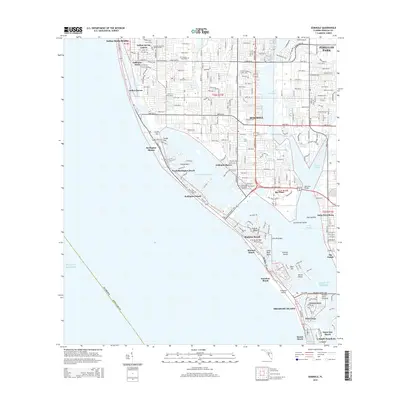
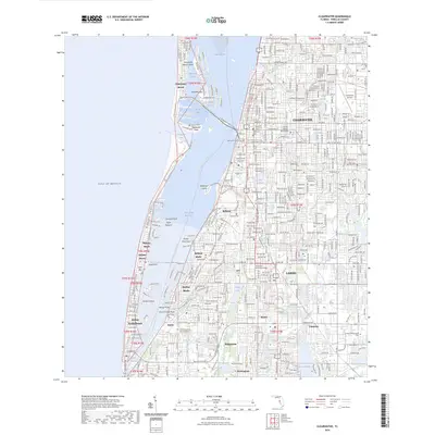
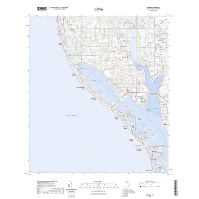
(12)- 2012 Map of Seminole, 2012 Print
 2012 Seminole2012 Print · USGSCovers Indian Rocks Beach, including Saint Petersburg, Seminole, and other nearby areas
 - 2012 Map of Clearwater, 2012 Print
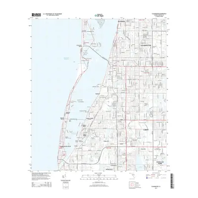
 2012 Clearwater2012 Print · USGSCovers Indian Rocks Beach, including Clearwater, Largo, and other nearby areas
 - 2015 Map of Clearwater, 2015 Print
 2015 Clearwater2015 Print · USGSCovers Indian Rocks Beach, including Clearwater, Largo, and other nearby areas
 - 2015 Map of Seminole, 2015 Print
 2015 Seminole2015 Print · USGSCovers Indian Rocks Beach, including Saint Petersburg, Seminole, and other nearby areas
 - 2018 Map of Clearwater, 2018 Print
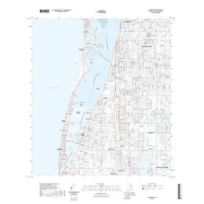
 2018 Clearwater2018 Print · USGSCovers Indian Rocks Beach, including Clearwater, Largo, and other nearby areas
 - 2018 Map of Seminole, 2018 Print
 2018 Seminole2018 Print · USGSCovers Indian Rocks Beach, including Saint Petersburg, Seminole, and other nearby areas
 - 2021 Map of Seminole, 2021 Print
 2021 Seminole2021 Print · USGSCovers Indian Rocks Beach, including Saint Petersburg, Seminole, and other nearby areas
 - 2021 Map of Clearwater, 2021 Print
 2021 Clearwater2021 Print · USGSCovers Indian Rocks Beach, including Clearwater, Largo, and other nearby areas
 - 2024 Map of Clearwater, 2024 Print
 2024 Clearwater2024 Print · USGSCovers Indian Rocks Beach, including Clearwater, Largo, and other nearby areas
 - 2024 Map of Seminole, 2024 Print
 2024 Seminole2024 Print · USGSCovers Indian Rocks Beach, including Saint Petersburg, Seminole, and other nearby areas
 - 2025 Map of Seminole, 2025 Print
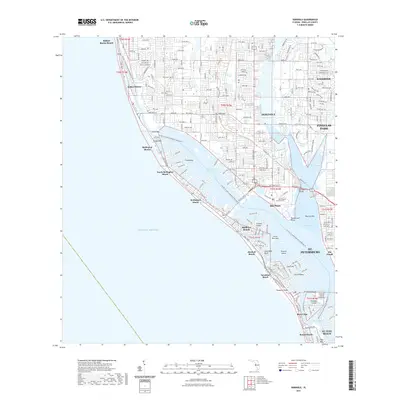
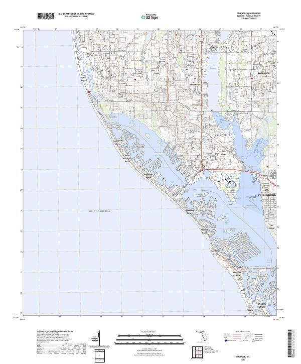 2025 Seminole2025 Print · USGSThe Pinellas County coastline comes into sharp focus in this recent survey of the barrier islands and mainland peninsulas. Genealogists and local researchers can trace the developed landscape from Bay Pines National Cemetery to Treasure Island and the shores of Lake Seminole.
 - 2025 Map of Clearwater, 2025 Print
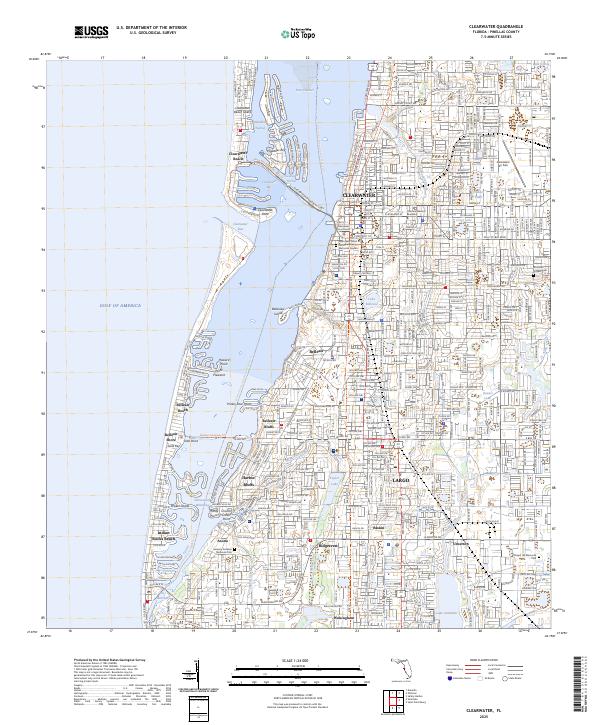 2025 Clearwater2025 Print · USGSThe Pinellas County coast comes into sharp focus during this contemporary era of dense beach development and intricate waterway management. Genealogists and local historians can trace the residential growth of Clearwater and Largo alongside landmarks like Rousseau Pioneer Cem and Chapel Hill Memorial Park.
End of results
Showing maps 1-12 of 12
Top cities near Indian Rocks Beach
- Saint Petersburg historical maps
- Clearwater historical maps
- Largo historical maps
- Palm Harbor historical maps
- Pinellas Park historical maps
- Dunedin historical maps
See more
Frequently asked questions
- What are the different types of historical maps available for Indian Rocks Beach?
- What is the oldest map of Indian Rocks Beach?
- Where can I purchase historical maps of Indian Rocks Beach for my home or office?
- Where can I download high-res historical maps of Indian Rocks Beach?
- Are there historical topographic maps available for Indian Rocks Beach?
- Is there historical aerial imagery available for Indian Rocks Beach?
- Where are historical maps of Indian Rocks Beach sourced from?