Old Maps of Springside, Florida
Explore 12 old maps of Springside, spanning from 1912 to today. These high-resolution historic maps reveal how streets, neighborhoods, landmarks, and natural features evolved over time — perfect for genealogy, metal detecting, research, and local history exploration.
What you can do with these maps:
- See how Springside changed over time: Compare historical maps to modern-day views to trace roads, homesites, rail lines & more.
- View detailed metadata: Each map includes creators, publishers, year, scale, and archive source.
- Overlay maps with satellite & LiDAR: Visualize the past alongside modern tools to explore terrain & human change.
- Trusted historical sources: Maps sourced from the USGS, Library of Congress, and other archives.
- Access maps your way: View online, download high-res files, or order prints for personal or research use.
Start exploring old maps of Springside to uncover forgotten places, hidden landmarks, and the deep history beneath your feet.
Springside, FL maps
(12)- 1912 Map of Palatka
 1912 Palatka1912 Print · USGSFlorida's St. Johns River corridor comes alive in the early twentieth century, showing a landscape defined by steamboat routes and citrus-belt railroads. Genealogists and historians can trace old community hubs like Yelvington PO, the Hardin Memorial Church, and the winding Rodman Lumber RR.
 - 1915 Map of Palatka
 1915 Palatka1915 Print · USGSFlorida's riverfront and rail corridors are captured here just after the turn of the century as Palatka thrived as a major transport junction. Researchers can trace family-named landmarks and vanished rural infrastructure like Sutherlands Still, Baptizing Lake, and Seven Pines School.6 unique versions available
 - 1954 Map of Daytona Beach, 1974 Print
 1954 Daytona Beach1974 Print · USGSNortheast Florida is captured in the mid-1950s, showing the transition from river-based commerce to coastal tourism. Researchers can trace the Florida East Coast rail lines and find historic sites like Castillo de San Marcos Nat Mon and Palatka.
 - 1958 Map of Daytona Beach
 1958 Daytona Beach1958 Print · USGSThe Florida coast and St. Johns River valley are captured in the late 1950s, showing a landscape defined by citrus-belt rail towns and Atlantic shorelines. Genealogists can trace family roots through riverside settlements like Palatka and Welaka or coastal hubs like Daytona Beach.2 unique versions available
 - 1964 Map of Daytona Beach
 1964 Daytona Beach1964 Print · USGSCoastal Florida in the mid-1960s shows a fascinating balance between burgeoning beach tourism and the deep interior wilderness of the Ocala National Forest. Researchers can trace the path of the Florida East Coast railway through historic settlements like St. Augustine, Marineland, and Palatka.
 - 1968 Map of Palatka, 1971 Print
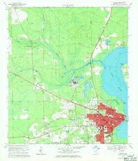 1968 Palatka1971 Print · USGSPalatka and the St. Johns River shoreline are captured here in the late sixties as the city expanded westward toward the new junior college. Genealogists and local historians can trace rural family roots through Bardin, Etonia Cem, and several area schools like Central Academy High Sch.4 unique versions available
 - 1981 Map of Saint Augustine, 1982 Print
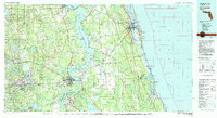 1981 Saint Augustine1982 Print · USGSNortheast Florida in the early eighties shows a landscape of deep river commerce and coastal growth. Genealogists and historians can trace the inland rail network of the Seaboard Coast Line through rural Hastings or explore the military footprint of Camp Blanding.2 unique versions available
 - 2012 Map of Palatka, 2012 Print
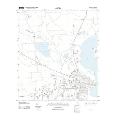 2012 Palatka2012 Print · USGSPalatka and its surrounding Putnam County riverlands are captured here in the early twenty-first century as the city centers on the Saint Johns River. Genealogists and historians can trace local family landmarks through Oak Hill Cem, the rural settlement of Bardin, and the historic industrial corridor near Rice Creek.
 - 2015 Map of Palatka, 2015 Print
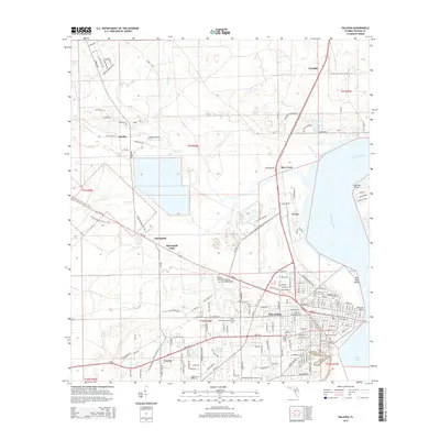 2015 Palatka2015 Print · USGSPalatka and its surrounding Putnam County reaches are documented here as they appeared in the mid-2010s, from the riverfront to the inland pine woods. Local historians can trace family sites at Oak Hill Cemetery or follow the Florida National Scenic Trail through Springside.
 - 2018 Map of Palatka, 2018 Print
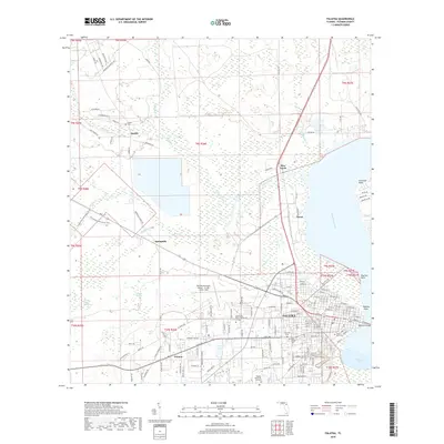 2018 Palatka2018 Print · USGSNear the bend of the Saint Johns River in the late 2010s, this area shows a mix of riverfront industry and inland wetlands. Researchers can trace family sites at Oak Hill Cem or explore rural roads like Old Railroad Ln and the Florida National Scenic Trail.
 - 2021 Map of Palatka, 2021 Print
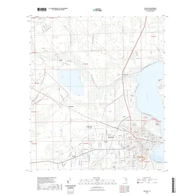 2021 Palatka2021 Print · USGSPalatka and the surrounding Florida lowlands are shown here in the early twenty-first century as the city balances its riverfront identity with inland growth. Researchers can trace historic burial sites like Saint Monica Catholic Church Cem or follow the Florida National Scenic Trl through the Rice Creek Swamp.
 - 2024 Map of Palatka, 2024 Print
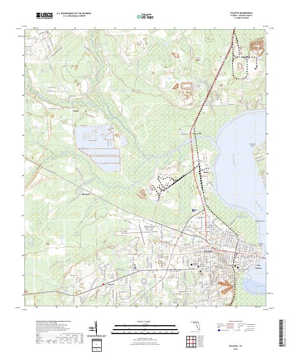 2024 Palatka2024 Print · USGSPalatka and its surrounding Putnam County riverlands are captured in this modern survey, showing the city's relationship with the Saint Johns River. Genealogists and local historians can locate several burial grounds, including Westview Cem and Saint Monica Catholic Church Cem, alongside the historic Poor Farm.
End of results
Showing maps 1-12 of 12
Top cities near Springside
- Palatka historical maps
- Bunnell historical maps
- Crescent City historical maps
- Interlachen historical maps
- Pomona Park historical maps
- Welaka historical maps
See more
Frequently asked questions
- What are the different types of historical maps available for Springside?
- What is the oldest map of Springside?
- Where can I purchase historical maps of Springside for my home or office?
- Where can I download high-res historical maps of Springside?
- Are there historical topographic maps available for Springside?
- Is there historical aerial imagery available for Springside?
- Where are historical maps of Springside sourced from?