Old Maps of Old Town Villages, Florida
Explore 12 old maps of Old Town Villages, spanning from 1937 to today. These high-resolution historic maps reveal how streets, neighborhoods, landmarks, and natural features evolved over time — perfect for genealogy, metal detecting, research, and local history exploration.
What you can do with these maps:
- See how Old Town Villages changed over time: Compare historical maps to modern-day views to trace roads, homesites, rail lines & more.
- View detailed metadata: Each map includes creators, publishers, year, scale, and archive source.
- Overlay maps with satellite & LiDAR: Visualize the past alongside modern tools to explore terrain & human change.
- Trusted historical sources: Maps sourced from the USGS, Library of Congress, and other archives.
- Access maps your way: View online, download high-res files, or order prints for personal or research use.
Start exploring old maps of Old Town Villages to uncover forgotten places, hidden landmarks, and the deep history beneath your feet.
Old Town Villages, FL maps
(12)- 1937 Map of Bakersville
 1937 Bakersville1937 Print · USGSIn the late 1930s, the St. Johns County backcountry was a mosaic of deep swamps and historic transit routes. Researchers can trace the ancestral locations of the Bakersville Ch and Mill Creek Sch or locate the curious Theatrical Troop Monument.
 - 1943 Map of St. Augustine
 1943 St. Augustine1943 Print · USGSSt. Augustine and the Atlantic coast appear here in the early 1940s, showing the historic city alongside its growing beach communities. Researchers can trace the legacy of the Florida East Coast Railway and locate landmarks like Fort Marion Nat Mon and Fort Peyton.2 unique versions available
 - 1954 Map of Daytona Beach, 1974 Print
 1954 Daytona Beach1974 Print · USGSNortheast Florida is captured in the mid-1950s, showing the transition from river-based commerce to coastal tourism. Researchers can trace the Florida East Coast rail lines and find historic sites like Castillo de San Marcos Nat Mon and Palatka.
 - 1958 Map of Daytona Beach
 1958 Daytona Beach1958 Print · USGSThe Florida coast and St. Johns River valley are captured in the late 1950s, showing a landscape defined by citrus-belt rail towns and Atlantic shorelines. Genealogists can trace family roots through riverside settlements like Palatka and Welaka or coastal hubs like Daytona Beach.2 unique versions available
 - 1964 Map of Daytona Beach
 1964 Daytona Beach1964 Print · USGSCoastal Florida in the mid-1960s shows a fascinating balance between burgeoning beach tourism and the deep interior wilderness of the Ocala National Forest. Researchers can trace the path of the Florida East Coast railway through historic settlements like St. Augustine, Marineland, and Palatka.
 - 1970 Map of Bakersville, 1973 Print
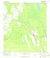 1970 Bakersville1973 Print · USGSSt. Johns County's interior wetlands and early roads are meticulously mapped in the 1970s. Local researchers can locate the Mill Creek Sch, the old Lookout Tower at Bakersville, and the FLORIDA EAST COAST rail line passing by Glimpse of Glory.3 unique versions available
 - 1981 Map of Saint Augustine, 1982 Print
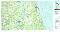 1981 Saint Augustine1982 Print · USGSNortheast Florida in the early eighties shows a landscape of deep river commerce and coastal growth. Genealogists and historians can trace the inland rail network of the Seaboard Coast Line through rural Hastings or explore the military footprint of Camp Blanding.2 unique versions available
 - 2012 Map of Bakersville, 2012 Print
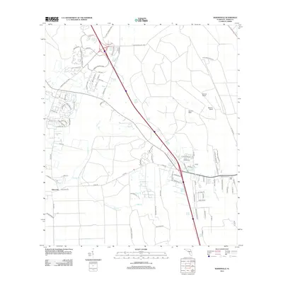 2012 Bakersville2012 Print · USGSBakersville and the surrounding St. Johns County hinterlands are shown here during a decade of rapid expansion in the early twenty-first century. Researchers can trace the intersection of new commerce at St Johns Commerce Park with older landmarks like the Bakersville Tower and the wetlands of Sixmile Neck.
 - 2015 Map of Bakersville, 2015 Print
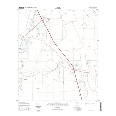 2015 Bakersville2015 Print · USGSSaint Johns County transitions from rural lowlands to suburban growth in the years before the 2010s. Researchers can trace land development around Bakersville and the winding reaches of Sixmile Cr, Masters Island, and Sixmile Neck.
 - 2018 Map of Bakersville, 2018 Print
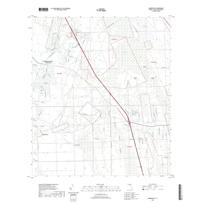 2018 Bakersville2018 Print · USGSSaint Johns County transitions from its rural roots to modern planned communities in the late 2010s. Researchers can trace the development of World Golf Village alongside long-standing natural landmarks like Twelvemile Swamp and Bakersville.
 - 2021 Map of Bakersville, 2021 Print
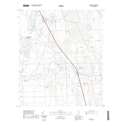 2021 Bakersville2021 Print · USGSSaint Johns County wetlands meet modern development in the early twenty-first century as new communities rise alongside historic swamplands. Researchers can trace the layout of World Golf Village or locate local landmarks like Bakersville, Masters Island, and Twelvemile Swamp.
 - 2024 Map of Bakersville, 2024 Print
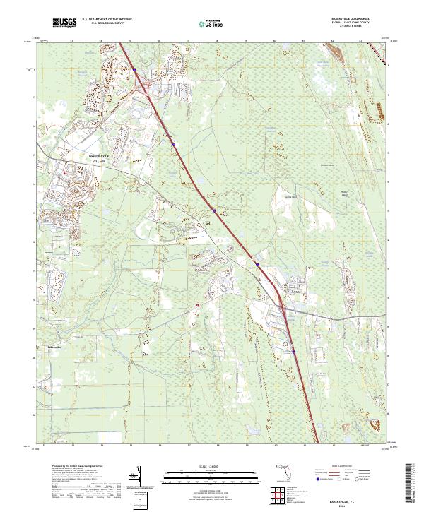 2024 Bakersville2024 Print · USGSSt. Johns County reflects a blend of modern development and ancient wetland geography in this recent survey. Local researchers can trace the margins of massive hydrologic systems like Twelvemile Swamp and locate landmarks such as Masters Island and Bakersville.
End of results
Showing maps 1-12 of 12
Frequently asked questions
- What are the different types of historical maps available for Old Town Villages?
- What is the oldest map of Old Town Villages?
- Where can I purchase historical maps of Old Town Villages for my home or office?
- Where can I download high-res historical maps of Old Town Villages?
- Are there historical topographic maps available for Old Town Villages?
- Is there historical aerial imagery available for Old Town Villages?
- Where are historical maps of Old Town Villages sourced from?