Old Maps of Milton, Florida for Metal Detecting
Plan your next treasure hunt with 20 historic maps of Milton. Find old homesites, ghost towns, trails, and gathering spots that may be lost to time — perfect for identifying promising metal detecting locations.
- Locate forgotten sites: Uncover places like long-lost settlements, abandoned rail lines, or gathering spots.
- Plan better hunts: Use map overlays combined with LiDAR or satellite views to narrow in on historically rich areas.
- Made for detectorists: Thousands of hobbyists use these maps to discover relics, coins, and hidden history.
Use these historic maps to boost your research and find new opportunities beneath the surface of Milton.
Milton, FL maps
(20)- 1920 Map of Milton
 1920 Milton1920 Print · USGSSanta Rosa County's timber and rail economy is captured here just after the first World War. Genealogists and historians can trace the lumber industry through the Manu'g. and Land Co. R.R. and old coastal sites like Bagdad, Floridatown, and Roeville Sta.
 - 1941 Map of Milton, 1956 Print
 1941 Milton1956 Print · USGSSanta Rosa County at the start of the 1940s is shown here as a landscape of timber-towns and tidewater rail junctions. Genealogists can trace family names at Allen Cem, Robinson Sch, and the riverside settlements of Bagdad and Floridatown.2 unique versions available
 - 1943 Map of Milton
 1943 Milton1943 Print · USGSSanta Rosa and Escambia counties are captured here in the early 1940s at the confluence of the Blackwater and Escambia rivers. Researchers can trace the waterfront history of MILTON and Bagdad or locate rural landmarks like Union Valley Ch and Conners Still.2 unique versions available
 - 1957 Map of Pensacola, 1967 Print
 1957 Pensacola1967 Print · USGSThe Florida Panhandle and Alabama coast are seen here at the height of the Cold War, showcasing a unique mix of military aviation and emerging beach tourism. Genealogists and local historians can trace legacy sites like Old Corry Field, the lumber town of Bagdad, and the coastal reaches of Santa Rosa Island.3 unique versions available
 - 1959 Map of Pensacola
 1959 Pensacola1959 Print · USGSThe Florida Panhandle and Alabama coast come alive in this late fifties survey of military aviation and maritime life. Genealogists can trace family roots in Bagdad, Loxley, and Milton while mapping the rails of the Louisville and Nashville.
 - 1960 Map of Pensacola
 1960 Pensacola1960 Print · USGSThe Florida Panhandle and Alabama's eastern shore are shown during a period of rapid military and coastal growth. Genealogists and historians can trace the mid-century footprints of Warrington, the Pensacola NAS (Chevalier), and the Blackwater River timber lands.
 - 1978 Map of Milton North
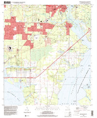
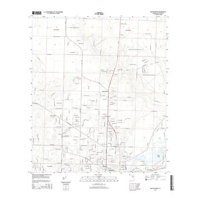
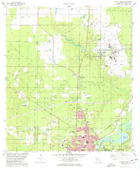 1978 Milton North1978 Print · USGSMilton and the surrounding Florida panhandle are shown here during a period of significant military and residential expansion in the late seventies. Genealogists and researchers can trace local landmarks like Allen Cem, the Government Railroad, and King Middle Sch.3 unique versions available
 - 1978 Map of Milton South
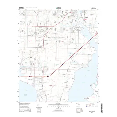
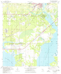 1978 Milton South1978 Print · USGSThe Florida Panhandle waterfront in the late seventies reveals the intersection of river commerce and suburban growth. Genealogists and historians can trace the foundations of Bagdad and Milton, locating family sites at Strickland Cem and Wilson Mem Ch.2 unique versions available
 - 1981 Map of Bay Minette
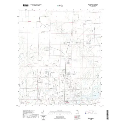
 1981 Bay Minette1981 Print · USGSThe Alabama-Florida borderlands come to life in the early 1980s as the river delta meets the growing coastal communities. Researchers can trace the Louisville and Nashville rail lines or locate historical points like Twenty-two Mile Bluff and the Blackwater River State Forest.2 unique versions available
 - 1994 Map of Milton South, 2000 Print
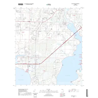
 1994 Milton South2000 Print · USGSSanta Rosa County's coastal and riverfront communities are captured here in the 1990s as suburban growth met traditional maritime landscapes. Genealogists and historians can locate family sites at Milton Cem, the Jackson Sch, and the riverside settlement of Bagdad.
 - 2012 Map of Milton North, 2012 Print
 2012 Milton North2012 Print · USGSCovers Milton, including Point Baker, Santa Rosa County, and other nearby areas
 - 2012 Map of Milton South, 2012 Print
 2012 Milton South2012 Print · USGSCovers Milton, including Avalon Beach, Galt City, and other nearby areas
 - 2015 Map of Milton North, 2015 Print
 2015 Milton North2015 Print · USGSCovers Milton, including Point Baker, Santa Rosa County, and other nearby areas
 - 2015 Map of Milton South, 2015 Print
 2015 Milton South2015 Print · USGSCovers Milton, including Avalon Beach, Galt City, and other nearby areas
 - 2018 Map of Milton North, 2018 Print
 2018 Milton North2018 Print · USGSCovers Milton, including Point Baker, Santa Rosa County, and other nearby areas
 - 2018 Map of Milton South, 2018 Print
 2018 Milton South2018 Print · USGSCovers Milton, including Avalon Beach, Galt City, and other nearby areas
 - 2021 Map of Milton South, 2021 Print
 2021 Milton South2021 Print · USGSCovers Milton, including Avalon Beach, Galt City, and other nearby areas
 - 2021 Map of Milton North, 2021 Print
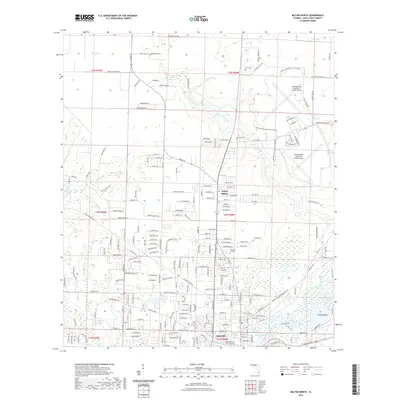 2021 Milton North2021 Print · USGSCovers Milton, including Point Baker, Santa Rosa County, and other nearby areas
 - 2024 Map of Milton South, 2024 Print
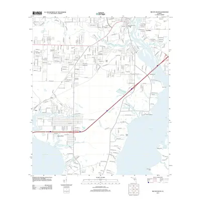
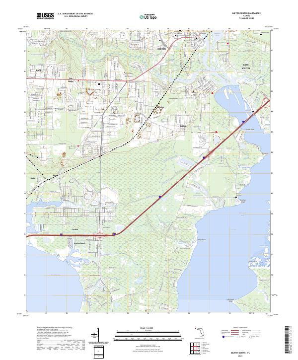 2024 Milton South2024 Print · USGSSanta Rosa County at the start of the 2020s shows a landscape deeply connected to the Blackwater River and its coastal bayous. Genealogists can locate several historic burial grounds, including Historic Milton Cem and Bagdad Cem, while tracing the growth of Avalon Beach and East Milton.
 - 2024 Map of Milton North, 2024 Print
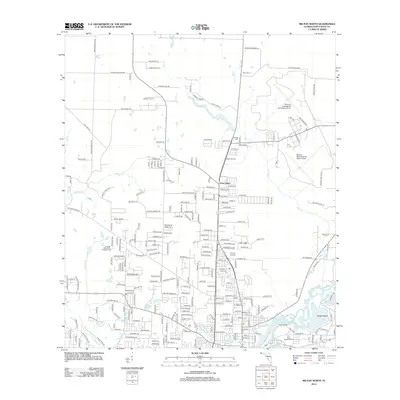
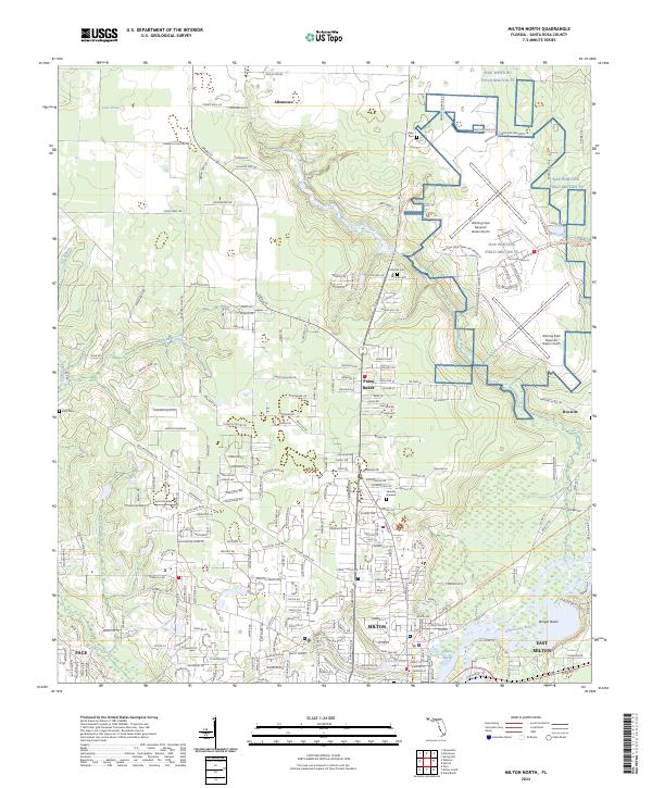 2024 Milton North2024 Print · USGSSanta Rosa County reflects a landscape shaped by naval aviation and river life in this modern survey. Genealogists and local historians can locate NAS Whiting Field, family burial sites like Bray Cem, and the riverfront neighborhoods of Milton.
End of results
Showing maps 1-20 of 20
Top cities near Milton
Top neighborhoods of Milton
Frequently asked questions
- What are the different types of historical maps available for Milton?
- What is the oldest map of Milton?
- Where can I purchase historical maps of Milton for my home or office?
- Where can I download high-res historical maps of Milton?
- Are there historical topographic maps available for Milton?
- Is there historical aerial imagery available for Milton?
- Where are historical maps of Milton sourced from?