Old Maps of Mandalay, Florida
Explore 11 old maps of Mandalay, spanning from 1954 to today. These high-resolution historic maps reveal how streets, neighborhoods, landmarks, and natural features evolved over time — perfect for genealogy, metal detecting, research, and local history exploration.
What you can do with these maps:
- See how Mandalay changed over time: Compare historical maps to modern-day views to trace roads, homesites, rail lines & more.
- View detailed metadata: Each map includes creators, publishers, year, scale, and archive source.
- Overlay maps with satellite & LiDAR: Visualize the past alongside modern tools to explore terrain & human change.
- Trusted historical sources: Maps sourced from the USGS, Library of Congress, and other archives.
- Access maps your way: View online, download high-res files, or order prints for personal or research use.
Start exploring old maps of Mandalay to uncover forgotten places, hidden landmarks, and the deep history beneath your feet.
Mandalay, FL maps
(11)- 1954 Map of Valdosta, 1967 Print
 1954 Valdosta1967 Print · USGSThe South Georgia and North Florida borderlands are captured here in the mid-fifties, showing the deep timber and wetland networks of the coastal plain. Researchers can trace the path of the Atlantic Coast Line through Valdosta or explore the interior of the Okefenokee Swamp.2 unique versions available
 - 1955 Map of Snipe Island, 1956 Print
 1955 Snipe Island1956 Print · USGSThe Florida Big Bend coast is captured in the mid-fifties as a wilderness of tidal creeks and river deltas at the Jefferson and Taylor county line. Genealogists and historians can trace the remote Econfina Landing and named coastal landmarks like Snipe Island and Gamble Point.5 unique versions available
 - 1958 Map of Valdosta
 1958 Valdosta1958 Print · USGSSouth Georgia and North Florida are captured here in the mid-fifties, showing the vast Okefenokee Swamp and the vital timber and rail corridors connecting the two states. Researchers can locate the footprint of Moody Air Force Base, trace the Live Oak Perry and Gulf railroad, or find early community sites like Bakers Mill and Paradise Church.
 - 1959 Map of Valdosta
 1959 Valdosta1959 Print · USGSThe Georgia-Florida borderlands in the mid-fifties reveal a landscape of massive blackwater swamps and emerging military aviation hubs. Genealogists and historians can trace rail-stop towns like Fargo and Stockton or explore the interior reaches of the Okefenokee Swamp and Billys Island.
 - 1979 Map of Perry, 1980 Print
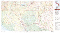 1979 Perry1980 Print · USGSThe Florida Big Bend and Suwannee River valley are captured here in the late seventies during a period of established timber and rail activity. Genealogists and historians can trace the Live Oak Perry and South Georgia line through Scanlon or locate family roots in Dowling Park and Greenville.2 unique versions available
 - 2012 Map of Snipe Island, 2012 Print
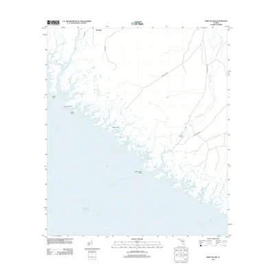 2012 Snipe Island2012 Print · USGSThe Taylor County coastline in the early 21st century remains a landscape of tidal rivers and remote hammocks. Genealogists and local historians can trace the geography of the Aucilla River and Econfina River near settlements like Mandalay and Econfina Landing.
 - 2015 Map of Snipe Island, 2015 Print
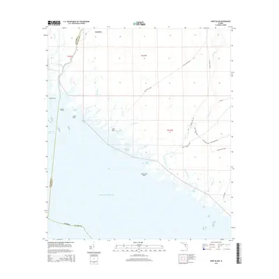 2015 Snipe Island2015 Print · USGSThe coastal marshlands of Taylor and Jefferson Counties meet the Gulf in the mid-2010s, revealing a landscape defined by river mouths and timber grades. Local historians can trace the paths of Snipe Island Grade and Leroy Tedder Grade as they wind toward the Econfina River.
 - 2018 Map of Snipe Island, 2018 Print
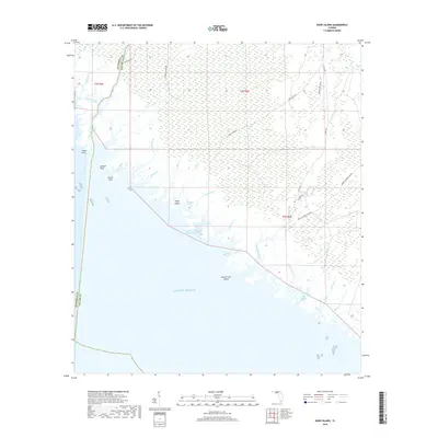 2018 Snipe Island2018 Print · USGSThe Taylor and Jefferson County coastlines are captured here in the late twenty-teens, showing the intricate tidal marsh and river systems of the Big Bend. You can trace the drainage of the Aucilla River and locate remote landforms like Snipe Island or Possum Gap Island.
 - 2021 Map of Snipe Island, 2021 Print
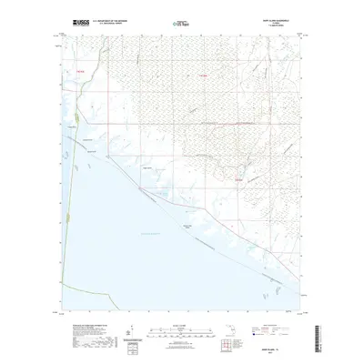 2021 Snipe Island2021 Print · USGSThe Gulf coastline of Taylor and Jefferson counties is captured here in recent years, revealing a complex landscape of tidal marshes and remote grades. Researchers can trace historical routes like Snipe Island Gr and locate coastal points such as Possum Gap Island and Double Sloughs.
 - 2024 Map of Snipe Island, 2024 Print
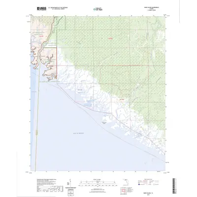 2024 Snipe Island2024 Print · USGSThe Florida Big Bend coast comes alive in this contemporary survey of the marshlands where Taylor and Jefferson Counties meet. Researchers can trace the winding Aucilla River, locate remote landings like Gamble Point, and follow the Florida Circumnavigational Paddling Trl through the Saint Marks Wilderness.
 - 2025 Map of Snipe Island, 2025 Print
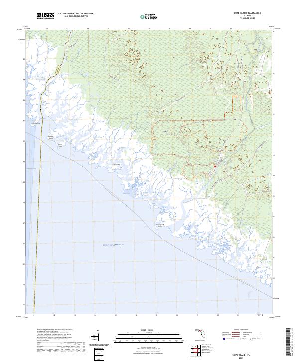 2025 Snipe Island2025 Print · USGSThe Florida Big Bend coast comes into focus in this contemporary survey, where the Aucilla River and Econfina River meet the gulf. Modern explorers and researchers can trace the Florida Circumnavigational Paddling Trl and remote landmarks like Snipe Island and Gamble Point.
End of results
Showing maps 1-11 of 11
Top cities near Mandalay
Frequently asked questions
- What are the different types of historical maps available for Mandalay?
- What is the oldest map of Mandalay?
- Where can I purchase historical maps of Mandalay for my home or office?
- Where can I download high-res historical maps of Mandalay?
- Are there historical topographic maps available for Mandalay?
- Is there historical aerial imagery available for Mandalay?
- Where are historical maps of Mandalay sourced from?