Old Maps of Raiford, Florida
Explore 17 old maps of Raiford, spanning from 1918 to today. These high-resolution historic maps reveal how streets, neighborhoods, landmarks, and natural features evolved over time — perfect for genealogy, metal detecting, research, and local history exploration.
What you can do with these maps:
- See how Raiford changed over time: Compare historical maps to modern-day views to trace roads, homesites, rail lines & more.
- View detailed metadata: Each map includes creators, publishers, year, scale, and archive source.
- Overlay maps with satellite & LiDAR: Visualize the past alongside modern tools to explore terrain & human change.
- Trusted historical sources: Maps sourced from the USGS, Library of Congress, and other archives.
- Access maps your way: View online, download high-res files, or order prints for personal or research use.
Start exploring old maps of Raiford to uncover forgotten places, hidden landmarks, and the deep history beneath your feet.
Raiford, FL maps
(17)- 1918 Map of Lawtey
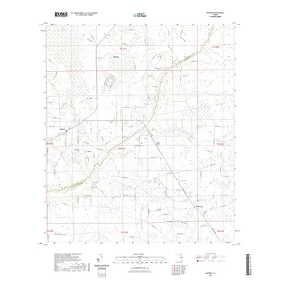
 1918 Lawtey1918 Print · USGSFlorida's northern interior during the First World War reveals a landscape of isolated farmsteads and growing rail towns. Researchers can locate early schoolhouses like Ben Rowe School and Vanderbilt School or trace the early footprint of the Bradford Farms (State Prison).5 unique versions available
 - 1954 Map of Valdosta, 1967 Print
 1954 Valdosta1967 Print · USGSThe South Georgia and North Florida borderlands are captured here in the mid-fifties, showing the deep timber and wetland networks of the coastal plain. Researchers can trace the path of the Atlantic Coast Line through Valdosta or explore the interior of the Okefenokee Swamp.2 unique versions available
 - 1958 Map of Valdosta
 1958 Valdosta1958 Print · USGSSouth Georgia and North Florida are captured here in the mid-fifties, showing the vast Okefenokee Swamp and the vital timber and rail corridors connecting the two states. Researchers can locate the footprint of Moody Air Force Base, trace the Live Oak Perry and Gulf railroad, or find early community sites like Bakers Mill and Paradise Church.
 - 1959 Map of Valdosta
 1959 Valdosta1959 Print · USGSThe Georgia-Florida borderlands in the mid-fifties reveal a landscape of massive blackwater swamps and emerging military aviation hubs. Genealogists and historians can trace rail-stop towns like Fargo and Stockton or explore the interior reaches of the Okefenokee Swamp and Billys Island.
 - 1966 Map of Lake Butler
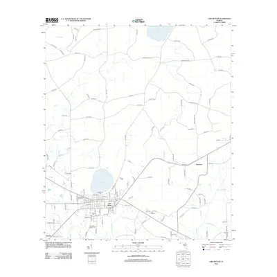
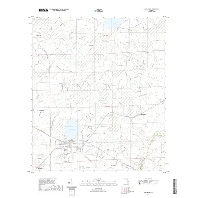
 1966 Lake Butler1966 Print · USGSLake Butler and its surrounding Union County wetlands are captured here in the mid-sixties, showing a landscape shaped by timber and water. Genealogists can trace family landmarks like Varnes Cemetery or the community at Johnstown, while explorers can follow the Old Railroad Grade and Richard Millpond.3 unique versions available
 - 1970 Map of Raiford, 1973 Print
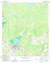
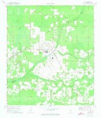 1970 Raiford1973 Print · USGSUnion and Bradford counties are captured here in the early seventies, showcasing a landscape of institutional history and rural community life. Researchers can locate family landmarks such as Evergreen Ch, Pine Grove Cem, and the massive Florida State Prison complex.2 unique versions available
 - 1981 Map of Lake City
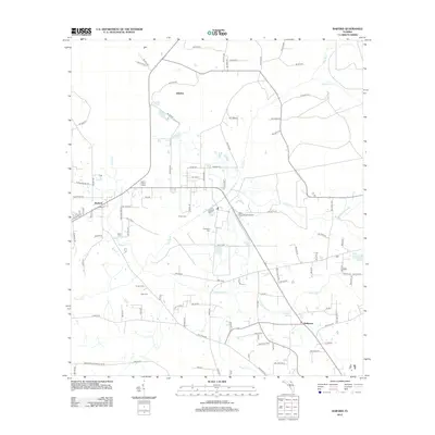
 1981 Lake City1981 Print · USGSNorth Florida and South Georgia are mapped in the early eighties as the region balanced forestry with growing infrastructure. Genealogists can trace family names and locations from Live Oak to Macclenny, or find cultural landmarks like the Stephen Foster State Folk Culture Center.2 unique versions available
 - 2012 Map of Lake Butler, 2012 Print
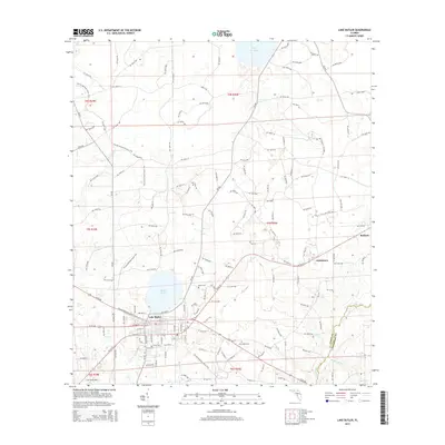
 2012 Lake Butler2012 Print · USGSCovers Raiford, including Lake Butler, Danville, and other nearby areas
 - 2012 Map of Raiford, 2012 Print
 2012 Raiford2012 Print · USGSCovers Raiford, including Ellerbee, Heilbronn, and other nearby areas
 - 2015 Map of Lake Butler, 2015 Print
 2015 Lake Butler2015 Print · USGSCovers Raiford, including Lake Butler, Danville, and other nearby areas
 - 2015 Map of Raiford, 2015 Print
 2015 Raiford2015 Print · USGSCovers Raiford, including Ellerbee, Heilbronn, and other nearby areas
 - 2018 Map of Lake Butler, 2018 Print
 2018 Lake Butler2018 Print · USGSCovers Raiford, including Lake Butler, Danville, and other nearby areas
 - 2018 Map of Raiford, 2018 Print
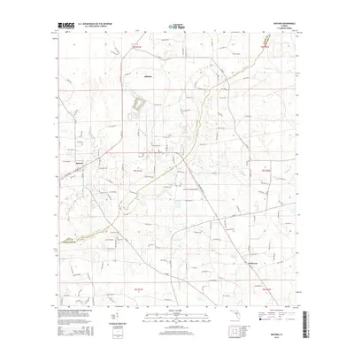
 2018 Raiford2018 Print · USGSCovers Raiford, including Ellerbee, Heilbronn, and other nearby areas
 - 2021 Map of Raiford, 2021 Print
 2021 Raiford2021 Print · USGSCovers Raiford, including Ellerbee, Heilbronn, and other nearby areas
 - 2021 Map of Lake Butler, 2021 Print
 2021 Lake Butler2021 Print · USGSCovers Raiford, including Lake Butler, Danville, and other nearby areas
 - 2024 Map of Raiford, 2024 Print
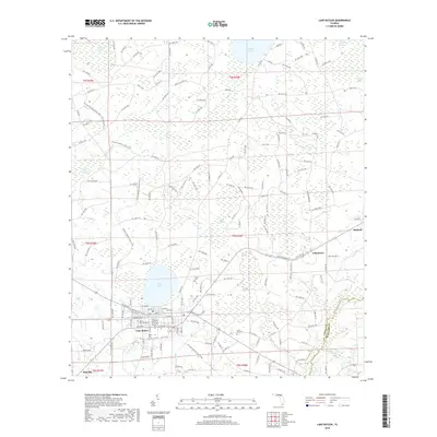
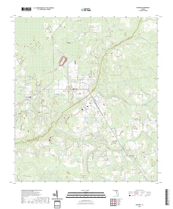 2024 Raiford2024 Print · USGSThe borderlands of Union and Bradford counties are documented here in the early twenty-first century, showing a landscape of small settlements and institutional fields. Genealogists and local historians can locate several family cemeteries such as Sapp Cem and Dyal Cem or trace the State Road 121 Rail Trail Corridor.
 - 2024 Map of Lake Butler, 2024 Print
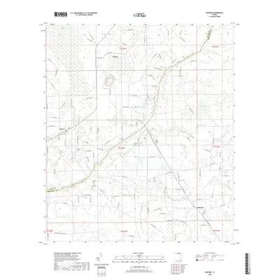
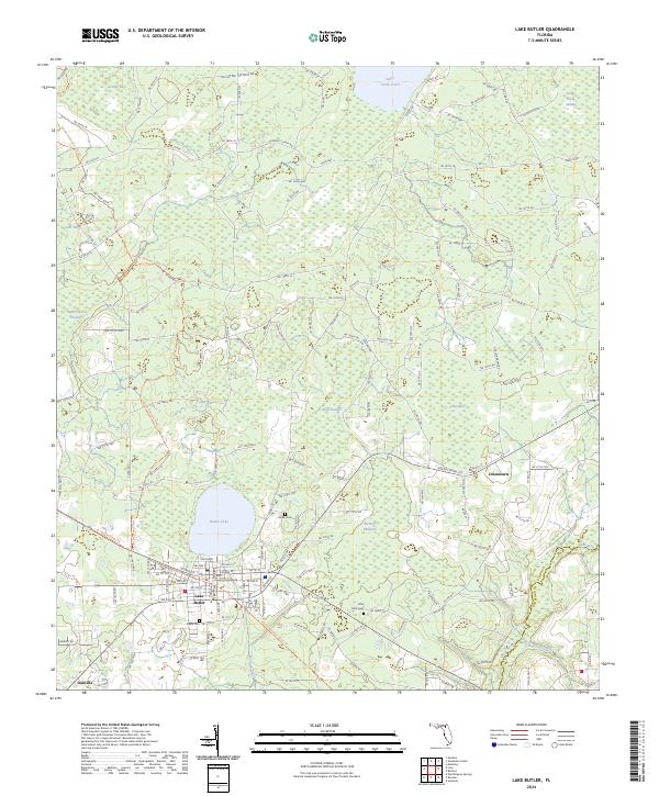 2024 Lake Butler2024 Print · USGSUnion County's seat and the surrounding rural landscapes are captured in this modern survey of the Lake Butler area. Researchers can trace local heritage through sites like the Union County Courthouse, Varnes Cem, and the settlement of Johnstown.
End of results
Showing maps 1-17 of 17
Top cities near Raiford
- Jacksonville historical maps
- Alachua historical maps
- Starke historical maps
- Macclenny historical maps
- Lake Butler historical maps
- Lawtey historical maps
See more
Frequently asked questions
- What are the different types of historical maps available for Raiford?
- What is the oldest map of Raiford?
- Where can I purchase historical maps of Raiford for my home or office?
- Where can I download high-res historical maps of Raiford?
- Are there historical topographic maps available for Raiford?
- Is there historical aerial imagery available for Raiford?
- Where are historical maps of Raiford sourced from?