2000s (21st Century) Maps of Raiford, Florida
Explore 10 historic maps of Raiford from the 2000s (21st Century). These maps offer a rare glimpse into what life looked like during the 2000s — showing old roads, neighborhoods, homes, and landmarks that have changed or disappeared over time.
Whether you're researching your family's past, planning a metal detecting trip, or studying how Raiford's landscape evolved across the 2000s, these high-resolution maps are a powerful tool for exploring the history of this region.
- Focus on a specific era: All maps on this page are from the 2000s, giving you a focused view of this time period.
- See what’s changed: Compare century-old streets, trails, and buildings to today's modern landscape using overlays and satellite layers.
- Research with precision: Use these maps for genealogy, historical research, land use analysis, or educational projects.
- View, download, or print: Maps are fully viewable online in high resolution, and can be downloaded or printed for your own records.
Start exploring Raiford's history through authentic maps from the 2000s. This is your window into the past.
Raiford, FL maps
(10)- 2012 Map of Lake Butler, 2012 Print
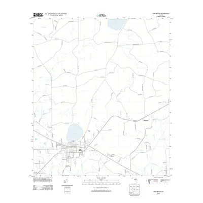 2012 Lake Butler2012 Print · USGSCovers Raiford, including Lake Butler, Danville, and other nearby areas
 - 2012 Map of Raiford, 2012 Print
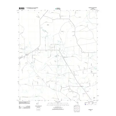 2012 Raiford2012 Print · USGSCovers Raiford, including Ellerbee, Heilbronn, and other nearby areas
 - 2015 Map of Lake Butler, 2015 Print
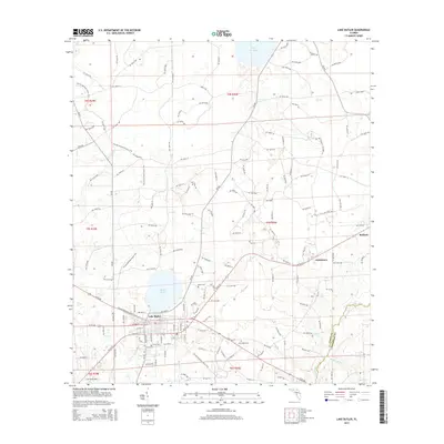 2015 Lake Butler2015 Print · USGSCovers Raiford, including Lake Butler, Danville, and other nearby areas
 - 2015 Map of Raiford, 2015 Print
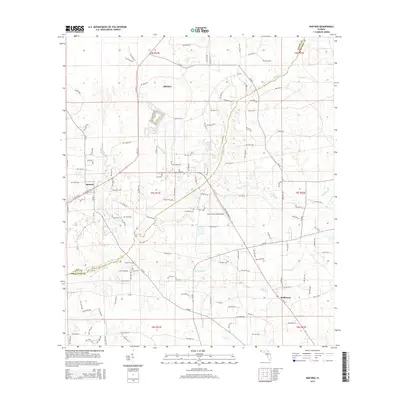 2015 Raiford2015 Print · USGSCovers Raiford, including Ellerbee, Heilbronn, and other nearby areas
 - 2018 Map of Lake Butler, 2018 Print
 2018 Lake Butler2018 Print · USGSCovers Raiford, including Lake Butler, Danville, and other nearby areas
 - 2018 Map of Raiford, 2018 Print
 2018 Raiford2018 Print · USGSCovers Raiford, including Ellerbee, Heilbronn, and other nearby areas
 - 2021 Map of Raiford, 2021 Print
 2021 Raiford2021 Print · USGSCovers Raiford, including Ellerbee, Heilbronn, and other nearby areas
 - 2021 Map of Lake Butler, 2021 Print
 2021 Lake Butler2021 Print · USGSCovers Raiford, including Lake Butler, Danville, and other nearby areas
 - 2024 Map of Raiford, 2024 Print
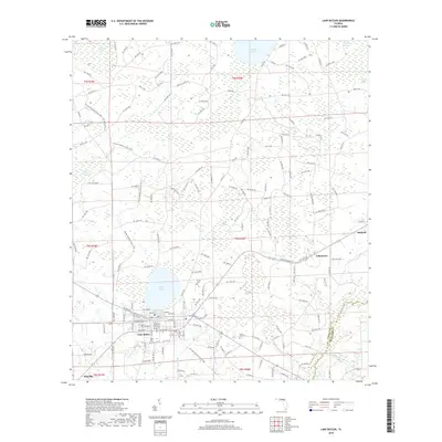
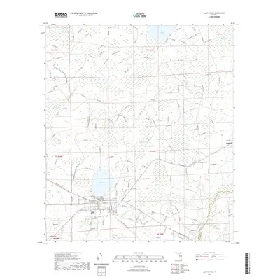
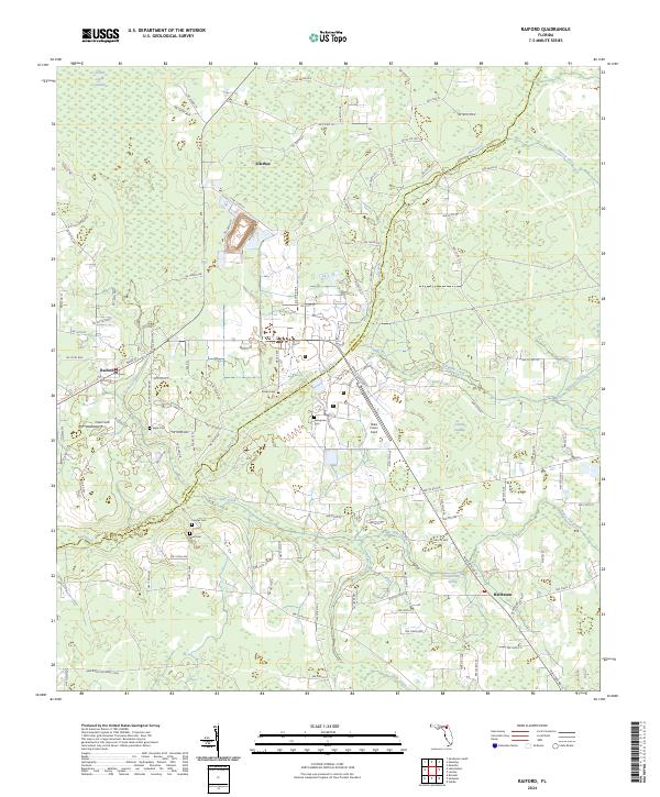 2024 Raiford2024 Print · USGSThe borderlands of Union and Bradford counties are documented here in the early twenty-first century, showing a landscape of small settlements and institutional fields. Genealogists and local historians can locate several family cemeteries such as Sapp Cem and Dyal Cem or trace the State Road 121 Rail Trail Corridor.
 - 2024 Map of Lake Butler, 2024 Print
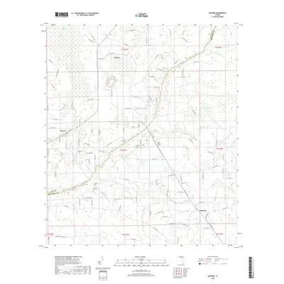
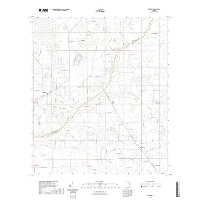
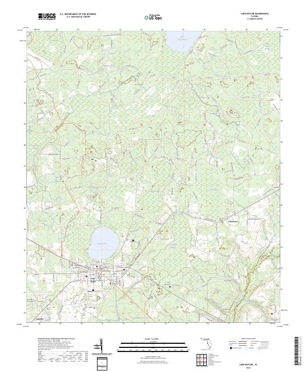 2024 Lake Butler2024 Print · USGSUnion County's seat and the surrounding rural landscapes are captured in this modern survey of the Lake Butler area. Researchers can trace local heritage through sites like the Union County Courthouse, Varnes Cem, and the settlement of Johnstown.
End of results
Showing maps 1-10 of 10
Top cities near Raiford
- Jacksonville historical maps
- Alachua historical maps
- Starke historical maps
- Macclenny historical maps
- Lake Butler historical maps
- Lawtey historical maps
See more
Frequently asked questions
- What are the different types of historical maps available for Raiford?
- What is the oldest map of Raiford?
- Where can I purchase historical maps of Raiford for my home or office?
- Where can I download high-res historical maps of Raiford?
- Are there historical topographic maps available for Raiford?
- Is there historical aerial imagery available for Raiford?
- Where are historical maps of Raiford sourced from?