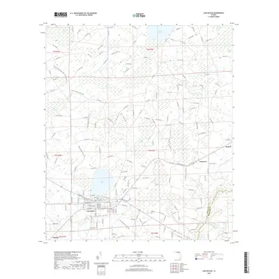
2018 Map of Lake Butler
USGS Topo · Published 2018About this map
Lake Butler sits at the heart of this North Florida landscape, positioned between the waters of Butler Lake and the wetlands of the New River. The town's grid is bounded by the CSX rail line and surrounded by small settlements such as Johnstown and Raiford to the east. The terrain is defined by a dense network of hydrologic features, including Swift Creek Swamp and Black Swamp, which have historically shaped the development of Union County.
Find a feature on this map
138 named features on this map. Tap any name to fly to it.
Don’t see what you’re looking for? This feature index may not catch every label — zoom into the map to look around manually.
Map Details
Editions of this 2018 Lake Butler Map
This is the sole edition of this map. No revisions or reprints were ever made.
Other maps of this area

1918 · Lawtey
USGS Topo · 1:62,500

1941 · Starke
USGS Topo · 1:62,500

1948 · Starke
USGS Topo · 1:50,000

1949 · Sampson
USGS Topo · 1:24,000

1949 · Starke
USGS Topo · 1:62,500

1954 · Gainesville
USGS Topo · 1:250,000

1954 · Valdosta
USGS Topo · 1:250,000

1958 · Valdosta
USGS Topo · 1:250,000

1958 · Gainesville
USGS Topo · 1:250,000

1959 · Valdosta
USGS Topo · 1:250,000