Old Maps of DeLand, Volusia County for Hiking & Exploration
Hike through history with 33 historic maps of DeLand. Explore old trails, ghost towns, and forgotten backroads — perfect for outdoor adventurers and local explorers.
- Rediscover forgotten places: Map out old mining camps, roads, and footpaths that no longer exist on modern maps.
- Layer with modern tools: Combine with LiDAR or satellite views to plan hikes through historical terrain.
- Made for exploration: Popular among hikers, overlanders, and local history lovers.
Use these maps to find adventure and explore the hidden past of DeLand.
DeLand, Volusia County maps
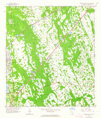
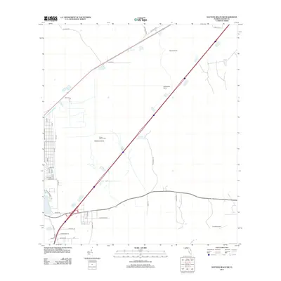
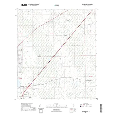
(33)- 1954 Map of Daytona Beach, 1974 Print
 1954 Daytona Beach1974 Print · USGSNortheast Florida is captured in the mid-1950s, showing the transition from river-based commerce to coastal tourism. Researchers can trace the Florida East Coast rail lines and find historic sites like Castillo de San Marcos Nat Mon and Palatka.
 - 1955 Map of Orlando, 1969 Print
 1955 Orlando1969 Print · USGSCentral Florida was entering the space age in the mid-fifties, balancing its citrus heritage with new military and aerospace frontiers. You can trace early developments at Kennedy Space Center or locate interior settlements like Eatonville and Pine Castle.3 unique versions available
 - 1957 Map of Orlando
 1957 Orlando1957 Print · USGSCovers DeLand, including Orlando, Palm Bay, and other nearby areas
 - 1958 Map of Orlando
 1958 Orlando1958 Print · USGSCentral Florida was a landscape of citrus, rail, and emerging aerospace technology during the late fifties. Researchers can trace the early footprints of Cape Canaveral and Patrick Air Force Base or locate inland citrus and rail hubs like Sanford and Lakeland.
 - 1958 Map of Daytona Beach
 1958 Daytona Beach1958 Print · USGSThe Florida coast and St. Johns River valley are captured in the late 1950s, showing a landscape defined by citrus-belt rail towns and Atlantic shorelines. Genealogists can trace family roots through riverside settlements like Palatka and Welaka or coastal hubs like Daytona Beach.2 unique versions available
 - 1962 Map of Orlando
 1962 Orlando1962 Print · USGSCentral Florida was transformed by aerospace and citrus at the start of the sixties. Genealogists and historians can trace old community footprints from Eau Gallie to Leesburg, alongside landmarks like McCoy AFB and the winding Econlockhatchee River.
 - 1962 Map of Daytona Beach SW, 1964 Print
 1962 Daytona Beach SW1964 Print · USGSCoastal Volusia County is captured here in the early sixties as development begins to push inland toward the wetlands. Genealogists and historians can trace the early streets of Daytona Park Estates and find landmarks like Lake Winnemissett and Rattlesnake Island.5 unique versions available
 - 1964 Map of Daytona Beach
 1964 Daytona Beach1964 Print · USGSCoastal Florida in the mid-1960s shows a fascinating balance between burgeoning beach tourism and the deep interior wilderness of the Ocala National Forest. Researchers can trace the path of the Florida East Coast railway through historic settlements like St. Augustine, Marineland, and Palatka.
 - 1964 Map of De Land, 1965 Print
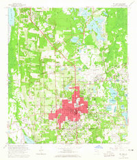 1964 De Land1965 Print · USGSMid-century Volusia County is captured here during a period of steady residential expansion around its historic college town and citrus groves. Genealogists and local historians can trace many family landmarks, including Oakdale Cemetery, Stetson University, and the Atlantic Coast Line rail corridor.4 unique versions available
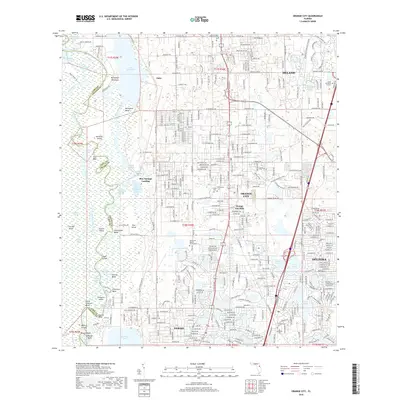
 - 1964 Map of Orange City, 1965 Print
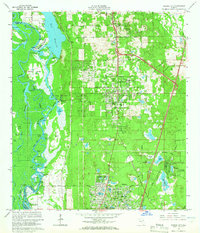 1964 Orange City1965 Print · USGSOrange City and DeBary are shown during a period of significant inland growth in the mid-1960s, framed by the St Johns River and the Atlantic Coast Line. Genealogists can locate family landmarks like Hollywood Cemetery, Mt Berrah Ch, and the old Lansdowne Sch.5 unique versions available
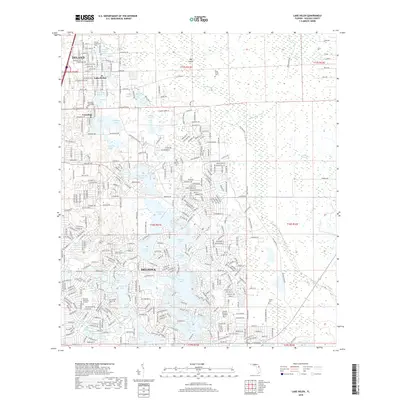
 - 1966 Map of Lake Helen, 1968 Print
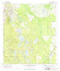 1966 Lake Helen1968 Print · USGSMid-century Volusia County is captured here during the initial expansion of Deltona alongside the established community of Lake Helen. Researchers can trace the legacy of the Old Railroad Grade and find family landmarks like the Osteen Cem or Blake Park.4 unique versions available
 - 1978 Map of Daytona Beach, 1980 Print
 1978 Daytona Beach1980 Print · USGSCoastal development meets the wild Florida interior in the late seventies, spanning from the Atlantic beaches to the St. Johns River. Trace the growth of Daytona Beach or find inland outposts like Salt Springs, De Leon Springs, and the U S Naval Reservation.2 unique versions available
 - 1979 Map of Orlando, 1980 Print
 1979 Orlando1980 Print · USGSCentral Florida's lake country and growing urban corridors are captured here just before the decade's end. Genealogists and historians can trace the transition from citrus rail towns like Winter Garden to the suburban expansion along I-4 and Florida's Turnpike.3 unique versions available
 - 2012 Map of Daytona Beach SW, 2012 Print
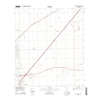
 2012 Daytona Beach SW2012 Print · USGSCovers DeLand, including Lake Helen, Daytona Park Estates, and other nearby areas
 - 2012 Map of DeLand, 2012 Print
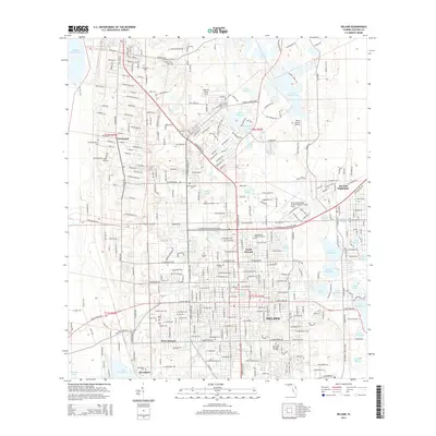
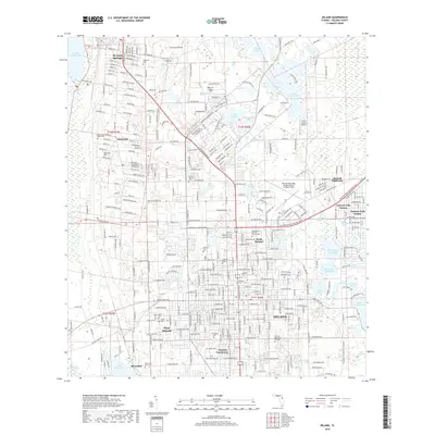
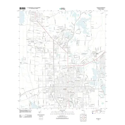 2012 DeLand2012 Print · USGSCovers DeLand, including De Leon Springs, North DeLand, and other nearby areas
 - 2012 Map of Lake Helen, 2012 Print
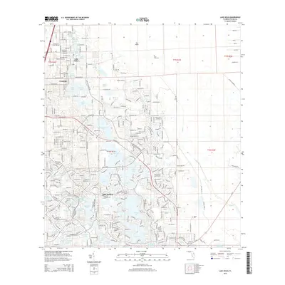
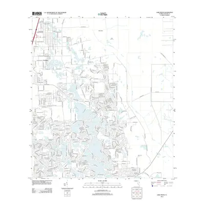 2012 Lake Helen2012 Print · USGSCovers DeLand, including Deltona, Lake Helen, and other nearby areas
 - 2012 Map of Orange City, 2012 Print
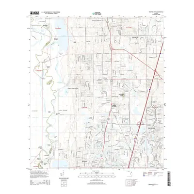
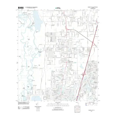 2012 Orange City2012 Print · USGSCovers DeLand, including Deltona, DeBary, and other nearby areas
 - 2015 Map of Daytona Beach SW, 2015 Print
 2015 Daytona Beach SW2015 Print · USGSCovers DeLand, including Lake Helen, Daytona Park Estates, and other nearby areas
 - 2015 Map of DeLand, 2015 Print
 2015 DeLand2015 Print · USGSCovers DeLand, including De Leon Springs, North DeLand, and other nearby areas
 - 2015 Map of Orange City, 2015 Print
 2015 Orange City2015 Print · USGSCovers DeLand, including Deltona, DeBary, and other nearby areas
 - 2015 Map of Lake Helen, 2015 Print
 2015 Lake Helen2015 Print · USGSCovers DeLand, including Deltona, Lake Helen, and other nearby areas
 - 2018 Map of Daytona Beach SW, 2018 Print
 2018 Daytona Beach SW2018 Print · USGSCovers DeLand, including Lake Helen, Daytona Park Estates, and other nearby areas
 - 2018 Map of DeLand, 2018 Print
 2018 DeLand2018 Print · USGSCovers DeLand, including De Leon Springs, North DeLand, and other nearby areas
 - 2018 Map of Orange City, 2018 Print
 2018 Orange City2018 Print · USGSCovers DeLand, including Deltona, DeBary, and other nearby areas
 - 2018 Map of Lake Helen, 2018 Print
 2018 Lake Helen2018 Print · USGSCovers DeLand, including Deltona, Lake Helen, and other nearby areas
Showing maps 1-25 of 33
Frequently asked questions
- What are the different types of historical maps available for DeLand?
- What is the oldest map of DeLand?
- Where can I purchase historical maps of DeLand for my home or office?
- Where can I download high-res historical maps of DeLand?
- Are there historical topographic maps available for DeLand?
- Is there historical aerial imagery available for DeLand?
- Where are historical maps of DeLand sourced from?