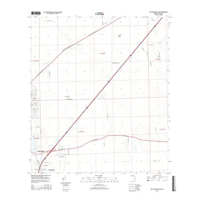
2015 Map of Daytona Beach SW
USGS Topo · Published 2015About this map
Deland and Lake Helen anchor the southwestern corner of this survey, where residential developments meet the low-lying wetlands of Volusia County. The landscape is defined by its hydrology, featuring named water bodies such as Lake Winnemissett and Park Lake, alongside unique terrestrial features like Rattlesnake Island, Dukes Islands, and McKenzie Islands. These islands are not surrounded by open water but appear as distinct landforms within the complex drainage patterns of the area.
Find a feature on this map
54 named features on this map. Tap any name to fly to it.
Don’t see what you’re looking for? This feature index may not catch every label — zoom into the map to look around manually.
Map Details
Editions of this 2015 Daytona Beach SW Map
This is the sole edition of this map. No revisions or reprints were ever made.
Other maps of this area

1952 · Samsula
USGS Topo · 1:24,000

1952 · Daytona Beach
USGS Topo · 1:24,000

1954 · Daytona Beach
USGS Topo · 1:250,000

1955 · Orlando
USGS Topo · 1:250,000

1957 · Orlando
USGS Topo · 1:250,000

1958 · Orlando
USGS Topo · 1:250,000

1958 · Daytona Beach
USGS Topo · 1:250,000

1962 · Orlando
USGS Topo · 1:250,000

1962 · Daytona Beach NW
USGS Topo · 1:24,000

1962 · Daytona Beach SW
USGS Topo · 1:24,000