Old Maps of Oak Hill, Florida
Explore 17 old maps of Oak Hill, spanning from 1949 to today. These high-resolution historic maps reveal how streets, neighborhoods, landmarks, and natural features evolved over time — perfect for genealogy, metal detecting, research, and local history exploration.
What you can do with these maps:
- See how Oak Hill changed over time: Compare historical maps to modern-day views to trace roads, homesites, rail lines & more.
- View detailed metadata: Each map includes creators, publishers, year, scale, and archive source.
- Overlay maps with satellite & LiDAR: Visualize the past alongside modern tools to explore terrain & human change.
- Trusted historical sources: Maps sourced from the USGS, Library of Congress, and other archives.
- Access maps your way: View online, download high-res files, or order prints for personal or research use.
Start exploring old maps of Oak Hill to uncover forgotten places, hidden landmarks, and the deep history beneath your feet.
Oak Hill, FL maps
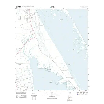
(17)- 1949 Map of Oak Hill, 1952 Print
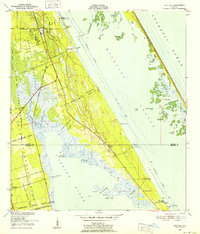 1949 Oak Hill1952 Print · USGSThe Volusia and Brevard County coastlines come alive in the late 1940s, showing a landscape shaped by colonial land grants and the railway. Genealogists and historians can trace old homesteads and docks near Oak Hill, Shiloh, and the Florida East Coast rail line.7 unique versions available
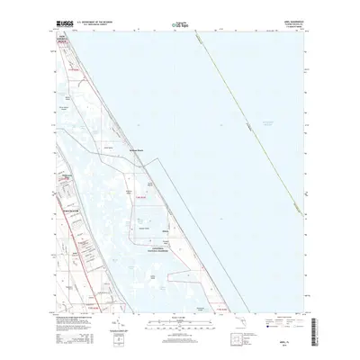
 - 1950 Map of Ariel, 1952 Print
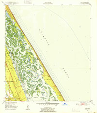 1950 Ariel1952 Print · USGSThe Volusia County coast during the early fifties reveals a landscape of massive land grants and intricate barrier islands. Genealogists and local historians can trace the bounds of the Joseph Wales Grant or locate old sites like Eldora and Turtle Mound.4 unique versions available
 - 1955 Map of Orlando, 1969 Print
 1955 Orlando1969 Print · USGSCentral Florida was entering the space age in the mid-fifties, balancing its citrus heritage with new military and aerospace frontiers. You can trace early developments at Kennedy Space Center or locate interior settlements like Eatonville and Pine Castle.3 unique versions available
 - 1957 Map of Orlando
 1957 Orlando1957 Print · USGSCovers Oak Hill, including Orlando, Palm Bay, and other nearby areas
 - 1958 Map of Orlando
 1958 Orlando1958 Print · USGSCentral Florida was a landscape of citrus, rail, and emerging aerospace technology during the late fifties. Researchers can trace the early footprints of Cape Canaveral and Patrick Air Force Base or locate inland citrus and rail hubs like Sanford and Lakeland.
 - 1962 Map of Orlando
 1962 Orlando1962 Print · USGSCentral Florida was transformed by aerospace and citrus at the start of the sixties. Genealogists and historians can trace old community footprints from Eau Gallie to Leesburg, alongside landmarks like McCoy AFB and the winding Econlockhatchee River.
 - 1979 Map of Titusville, 1980 Print
 1979 Titusville1980 Print · USGSThe Florida coast near Titusville shows a unique duality in the late seventies between aerospace ambition and coastal wilderness. Genealogists and historians can trace property boundaries of early land grants like Joseph Wales alongside the John F Kennedy Space Center (NASA).
 - 2012 Map of Ariel, 2012 Print
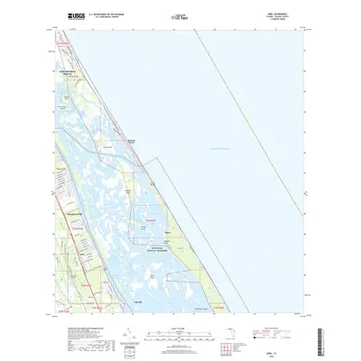
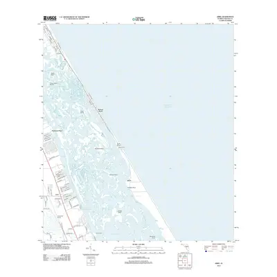 2012 Ariel2012 Print · USGSCovers Oak Hill, including Bethune Beach, Packwood Place, and other nearby areas
 - 2012 Map of Oak Hill, 2012 Print
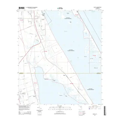
 2012 Oak Hill2012 Print · USGSCovers Oak Hill, including Shiloh, Brevard County, and other nearby areas
 - 2015 Map of Ariel, 2015 Print
 2015 Ariel2015 Print · USGSCovers Oak Hill, including Bethune Beach, Packwood Place, and other nearby areas
 - 2015 Map of Oak Hill, 2015 Print
 2015 Oak Hill2015 Print · USGSCovers Oak Hill, including Shiloh, Brevard County, and other nearby areas
 - 2018 Map of Ariel, 2018 Print
 2018 Ariel2018 Print · USGSCovers Oak Hill, including Bethune Beach, Packwood Place, and other nearby areas
 - 2018 Map of Oak Hill, 2018 Print
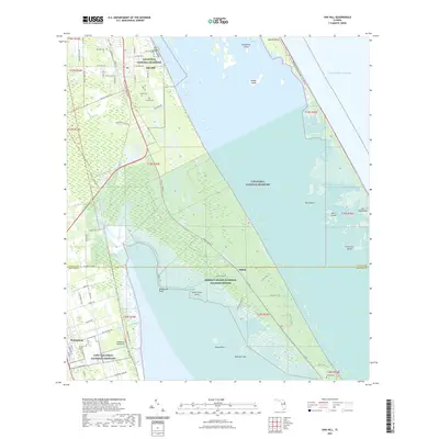
 2018 Oak Hill2018 Print · USGSCovers Oak Hill, including Shiloh, Brevard County, and other nearby areas
 - 2021 Map of Ariel, 2021 Print
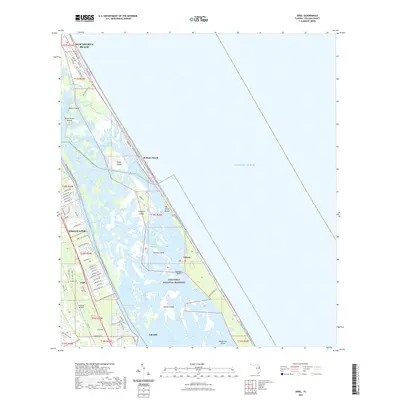 2021 Ariel2021 Print · USGSCovers Oak Hill, including Bethune Beach, Packwood Place, and other nearby areas
 - 2021 Map of Oak Hill, 2021 Print
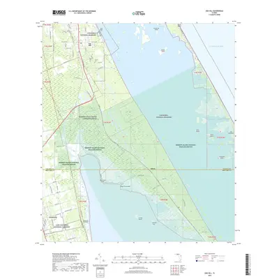
 2021 Oak Hill2021 Print · USGSCovers Oak Hill, including Shiloh, Brevard County, and other nearby areas
 - 2024 Map of Oak Hill, 2024 Print
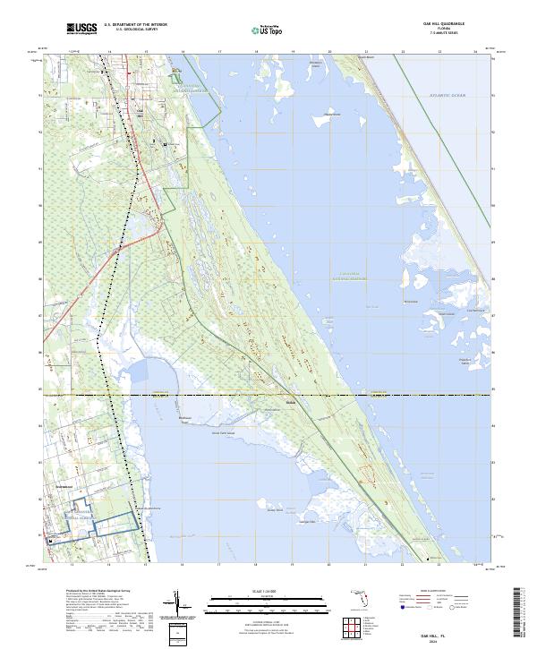 2024 Oak Hill2024 Print · USGSThe Volusia and Brevard county line meets the Florida coast in this recent survey of the lagoons and marshlands. Researchers can locate the Cape Canaveral National Cemetery and trace the residential layout of Oak Hill near the shores of Mosquito Lagoon.
 - 2024 Map of Ariel, 2024 Print
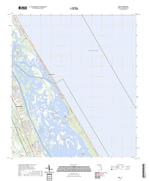 2024 Ariel2024 Print · USGSCoastal Volusia County is shown in detail during the early 2020s, covering the transition from mainland towns to the protected Atlantic barrier islands. Researchers can locate specific homesteads near Oak Hill, trace the shoreline at Turtle Mound, or explore the historical site of Eldora.
End of results
Showing maps 1-17 of 17
Top cities near Oak Hill
- Titusville historical maps
- New Smyrna Beach historical maps
- Edgewater historical maps
- Ponce Inlet historical maps
Top neighborhoods of Oak Hill
Frequently asked questions
- What are the different types of historical maps available for Oak Hill?
- What is the oldest map of Oak Hill?
- Where can I purchase historical maps of Oak Hill for my home or office?
- Where can I download high-res historical maps of Oak Hill?
- Are there historical topographic maps available for Oak Hill?
- Is there historical aerial imagery available for Oak Hill?
- Where are historical maps of Oak Hill sourced from?