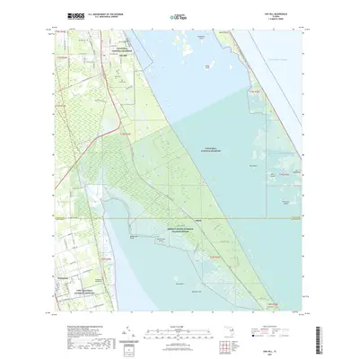
2021 Map of Oak Hill
USGS Topo · Published 2021About this map
Oak Hill and the surrounding marshlands of the Indian River Lagoon define this coastal landscape near the boundary of Volusia and Brevard counties. The map captures a high degree of local detail in the residential pockets of the town, specifically naming local thoroughfares such as Bills Hill Rd and N Putnam Grove Rd. Further south, the tiny community of Shiloh sits at the edge of the Merritt Island National Wildlife Refuge.
Find a feature on this map
87 named features on this map. Tap any name to fly to it.
Don’t see what you’re looking for? This feature index may not catch every label — zoom into the map to look around manually.
Map Details
Editions of this 2021 Oak Hill Map
This is the sole edition of this map. No revisions or reprints were ever made.
Other maps of this area

1949 · Oak Hill
USGS Topo · 1:24,000

1949 · Pardon Island
USGS Topo · 1:24,000

1949 · Wilson
USGS Topo · 1:24,000

1949 · Mims
USGS Topo · 1:24,000

1950 · Maytown
USGS Topo · 1:24,000

1950 · Ariel
USGS Topo · 1:24,000

1950 · Edgewater
USGS Topo · 1:24,000

1950 · Aurantia
USGS Topo · 1:24,000

1952 · Mims
USGS Topo · 1:24,000

1952 · Wilson
USGS Topo · 1:24,000