Old Maps of Sopchoppy, Florida
Explore 21 old maps of Sopchoppy, spanning from 1940 to today. These high-resolution historic maps reveal how streets, neighborhoods, landmarks, and natural features evolved over time — perfect for genealogy, metal detecting, research, and local history exploration.
What you can do with these maps:
- See how Sopchoppy changed over time: Compare historical maps to modern-day views to trace roads, homesites, rail lines & more.
- View detailed metadata: Each map includes creators, publishers, year, scale, and archive source.
- Overlay maps with satellite & LiDAR: Visualize the past alongside modern tools to explore terrain & human change.
- Trusted historical sources: Maps sourced from the USGS, Library of Congress, and other archives.
- Access maps your way: View online, download high-res files, or order prints for personal or research use.
Start exploring old maps of Sopchoppy to uncover forgotten places, hidden landmarks, and the deep history beneath your feet.
Sopchoppy, FL maps
(21)- 1940 Map of Arran, 1966 Print
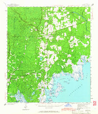 1940 Arran1966 Print · USGSWakulla County's coastal forests and rail-linked settlements are captured here in the era just before the Second World War. Researchers can locate family landmarks like Roddenberry Cem, the historic Wakulla Springs, and rural hubs such as Sopchoppy and Panacea.
 - 1943 Map of Arran
 1943 Arran1943 Print · USGSWakulla County's coastal lowlands and timber forests are captured here just before the mid-century, centered on CRAWFORDVILLE and the Seaboard Air Line. Genealogists can trace family footprints at Roddenberry Cem, Pilgrims Rest Ch, and the rural Mt Pleasant Sch.2 unique versions available
 - 1945 Map of Sanborn
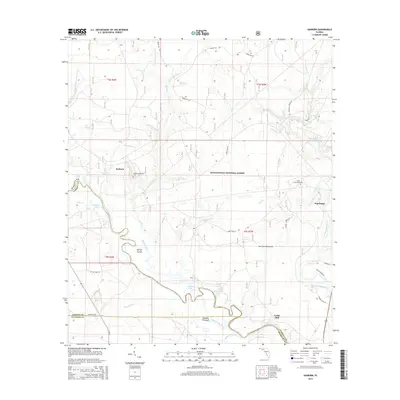
 1945 Sanborn1945 Print · USGSThe river bottomlands and pine forests of Wakulla and Liberty counties are shown here just as the war ended. Researchers can trace family sites like Sanborn, find the Mt Beeser Church, and locate the West Sopchoppy Cemetery and Curtis Mill.3 unique versions available
 - 1954 Map of Tallahassee, 1967 Print
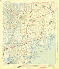
 1954 Tallahassee1967 Print · USGSThe Florida Panhandle and South Georgia are captured here during a period of mid-century growth and military expansion. Researchers can trace the development of Panama City, the footprint of Tyndall Air Force Base, and the rail lines of the Atlantic Coast Line.4 unique versions available
 - 1959 Map of Tallahassee
 1959 Tallahassee1959 Print · USGSFlorida's Panhandle and the Big Bend region appear here in the mid-fifties, showing a landscape defined by its great river systems and developing coast. Trace the early layout of Panama City, the expansive Apalachicola National Forest, and the coastal St Marks Lighthouse.
 - 1960 Map of Tallahassee
 1960 Tallahassee1960 Print · USGSThe Florida Panhandle and southern Georgia are captured here in the mid-twentieth century, showing a region defined by its rivers and military installations. Genealogists and historians can trace the growth of Tallahassee or locate coastal landmarks like the St Marks Lighthouse and Tyndall Air Force Base.
 - 1972 Map of Sopchoppy, 1973 Print
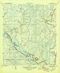
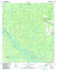
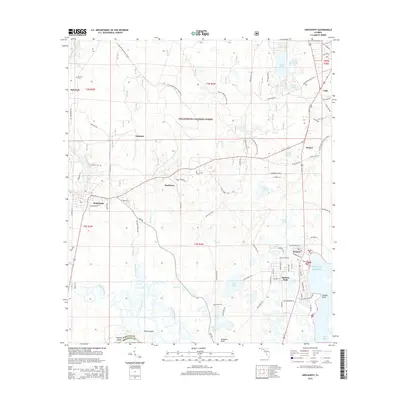
 1972 Sopchoppy1973 Print · USGSCoastal Wakulla County comes into focus in the early seventies, showing the transition from the Apalachicola National Forest to the Gulf marshes. Genealogists and locals can trace family landmarks like Simmons Cem or the rural settlements of Sopchoppy and Panacea.2 unique versions available
 - 1979 Map of Tallahassee, 1980 Print
 1979 Tallahassee1980 Print · USGSFlorida's capital and the Gulf coast are captured here in the late seventies, showing the region's balance between urban growth and massive protected wetlands. Researchers can trace the routes of the Apalachicola Northern Railroad or locate small inland hubs like Sopchoppy, Panacea, and Hosford.
 - 1988 Map of Tallahassee
 1988 Tallahassee1988 Print · USGSThe Florida Panhandle and South Georgia are captured here in the late eighties, showing the expansion of the regional highway network and coastal growth. Genealogists and historians can trace rail lines like the Seaboard System Railroad or locate family roots in Blountstown, Graceville, or Crawfordville.2 unique versions available
 - 1990 Map of Sanborn
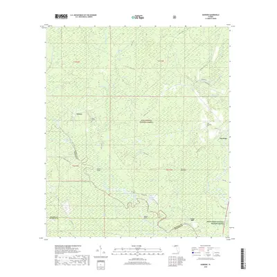
 1990 Sanborn1990 Print · USGSThe Sopchoppy and Ochlockonee rivers converge in the Florida panhandle during the late twentieth century. Genealogists can trace family names at Revell Cemetery and McKenzie-Sanborn Cemetery or locate the settlements of Sopchoppy and Curtis Mill.
 - 2012 Map of Sanborn, 2012 Print
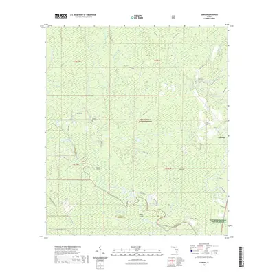
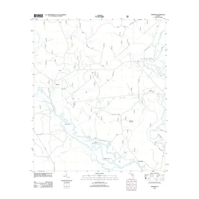 2012 Sanborn2012 Print · USGSCovers Sopchoppy, including Sanborn, Curtis Mill, and other nearby areas
 - 2012 Map of Sopchoppy, 2012 Print
 2012 Sopchoppy2012 Print · USGSCovers Sopchoppy, including Oak Park, Tully, and other nearby areas
 - 2015 Map of Sanborn, 2015 Print
 2015 Sanborn2015 Print · USGSCovers Sopchoppy, including Sanborn, Curtis Mill, and other nearby areas
 - 2015 Map of Sopchoppy, 2015 Print
 2015 Sopchoppy2015 Print · USGSCovers Sopchoppy, including Oak Park, Tully, and other nearby areas
 - 2018 Map of Sanborn, 2018 Print
 2018 Sanborn2018 Print · USGSCovers Sopchoppy, including Sanborn, Curtis Mill, and other nearby areas
 - 2018 Map of Sopchoppy, 2018 Print
 2018 Sopchoppy2018 Print · USGSCovers Sopchoppy, including Oak Park, Tully, and other nearby areas
 - 2021 Map of Sanborn, 2021 Print
 2021 Sanborn2021 Print · USGSCovers Sopchoppy, including Sanborn, Curtis Mill, and other nearby areas
 - 2021 Map of Sopchoppy, 2021 Print
 2021 Sopchoppy2021 Print · USGSCovers Sopchoppy, including Oak Park, Tully, and other nearby areas
 - 2024 Map of Sanborn, 2024 Print
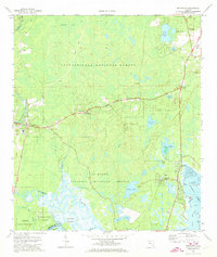
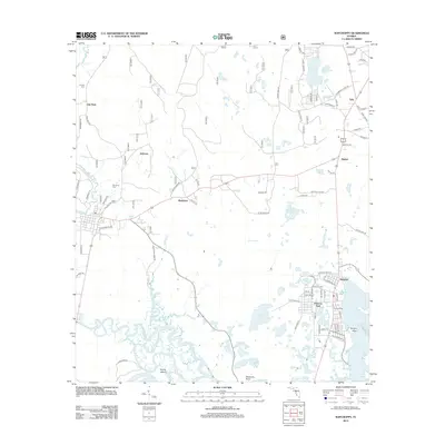
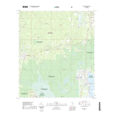
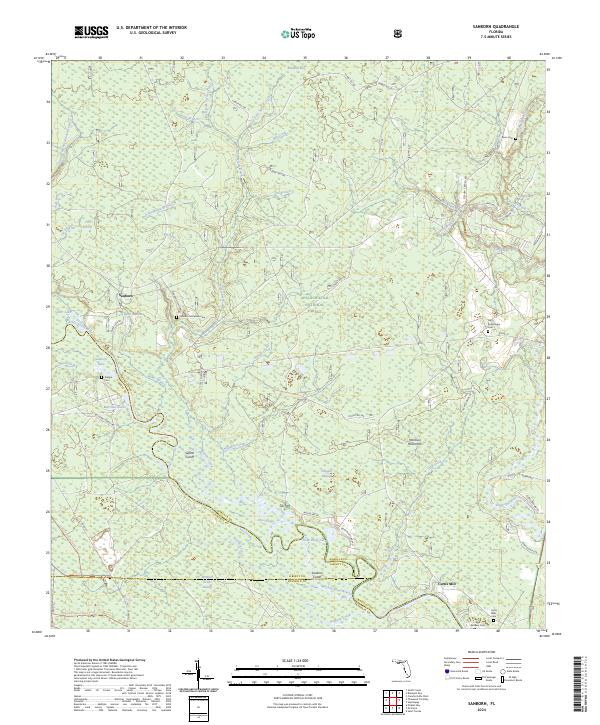 2024 Sanborn2024 Print · USGSFlorida's Panhandle is documented here in a modern era where vast forest reserves meet the historic settlements of Sanborn and Curtis Mill. Genealogists and historians can locate numerous burial grounds including Sanborn McKenzie Cem, West Sopchoppy Cem, and Bean Cem.
 - 2024 Map of Sopchoppy, 2024 Print
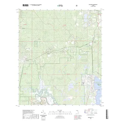 2024 Sopchoppy2024 Print · USGSCovers Sopchoppy, including Oak Park, Tully, and other nearby areas
 - 2025 Map of Sopchoppy, 2025 Print
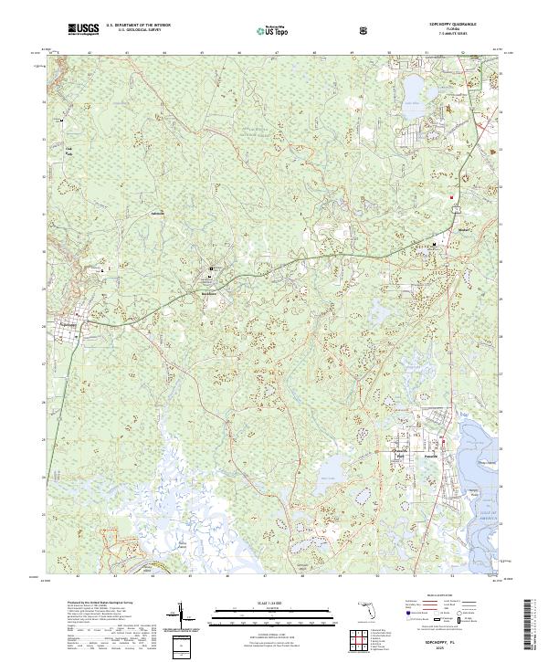 2025 Sopchoppy2025 Print · USGSThe Florida Panhandle's coastal forests and tidal marshes are documented here at the edge of the gulf. Researchers can trace rural lineages through family-named landmarks like Grimes Cem and Simmons Point, or locate old routes like Lawhon Mill Rd.
End of results
Showing maps 1-21 of 21
Top cities near Sopchoppy
Frequently asked questions
- What are the different types of historical maps available for Sopchoppy?
- What is the oldest map of Sopchoppy?
- Where can I purchase historical maps of Sopchoppy for my home or office?
- Where can I download high-res historical maps of Sopchoppy?
- Are there historical topographic maps available for Sopchoppy?
- Is there historical aerial imagery available for Sopchoppy?
- Where are historical maps of Sopchoppy sourced from?