Old Maps of Milkwater, Fort Defiance Agency
Explore 13 old maps of Milkwater, spanning from 1892 to today. These high-resolution historic maps reveal how streets, neighborhoods, landmarks, and natural features evolved over time — perfect for genealogy, metal detecting, research, and local history exploration.
What you can do with these maps:
- See how Milkwater changed over time: Compare historical maps to modern-day views to trace roads, homesites, rail lines & more.
- View detailed metadata: Each map includes creators, publishers, year, scale, and archive source.
- Overlay maps with satellite & LiDAR: Visualize the past alongside modern tools to explore terrain & human change.
- Trusted historical sources: Maps sourced from the USGS, Library of Congress, and other archives.
- Access maps your way: View online, download high-res files, or order prints for personal or research use.
Start exploring old maps of Milkwater to uncover forgotten places, hidden landmarks, and the deep history beneath your feet.
Milkwater, Fort Defiance Agency maps
(13)- 1892 Map of Canyon De Chelly
 1892 Canyon De Chelly1892 Print · USGSApache County's high desert and deep sandstone canyons are documented here in the early 1890s, shortly after the initial 1883 survey. Modern researchers can trace the intricate drainages of Canyon De Chelly and find early water sources like Hospitito Spring and Tatezaka Tank.5 unique versions available
 - 1954 Map of Shiprock
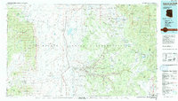
 1954 Shiprock1954 Print · USGSThe Four Corners region in the mid-fifties reveals a vast landscape of tribal lands and desert landmarks. Researchers can trace the mid-century footprints of the Navajo Indian Reservation, identifying remote Trading Posts, the early growth of Farmington, and the iconic spire of Ship Rock.5 unique versions available
 - 1955 Map of Sonsala Butte 4 SE, 1958 Print
 1955 Sonsala Butte 4 SE1958 Print · USGSThe high-desert terrain of the Arizona-New Mexico border is captured here in the mid-fifties within the Navajo Indian Reservation. Genealogists and historians can locate Graves, remote water sources like Black Salt Spring, and landmarks such as the Sonsela Buttes.
 - 1955 Map of Sonsela Buttes, 1959 Print
 1955 Sonsela Buttes1959 Print · USGSThe high plateau of the Navajo Nation comes to life in the mid-fifties, spanning the border between Arizona and New Mexico. Researchers can trace land use at Chee Dodge Ranch and follow old routes through Lower Wheatfields or the Beshthalthaa Cliffs.3 unique versions available
 - 1958 Map of Shiprock
 1958 Shiprock1958 Print · USGSThe Four Corners region in the mid-fifties shows a vast network of remote outposts and river settlements. You can locate numerous historic sites like the Emmanuel Mission and several commercial hubs such as Burnham Trading Post and Bisti Trading Post.
 - 1959 Map of Shiprock
 1959 Shiprock1959 Print · USGSThe Four Corners region comes alive in the mid-fifties, showing the high desert outposts and river-valley towns of the Navajo Nation and San Juan County. Genealogists and researchers can locate remote landmarks like the Burnham Trading Post, Two Grey Hills, and the early Helium Plant.
 - 1983 Map of Sonsela Buttes
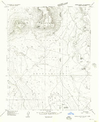
 1983 Sonsela Buttes1983 Print · USGSThe Navajo Nation high desert at the start of the 1980s reveals a landscape of isolated springs and remote crossings. Genealogists and historians can locate Milkwater, find a noted site of Graves, and trace the path of Crystal Creek toward Black Lake.2 unique versions available
 - 1984 Map of Canyon De Chelly
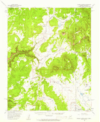
 1984 Canyon De Chelly1984 Print · USGSThe Navajo heartland in the mid-eighties shows a landscape of deep canyons and high mesas at a time of rising educational and civic infrastructure. Genealogists and researchers can locate remote trading posts like Upper Greasewood Trading Post and early campus buildings at Navajo Community College.
 - 2010 Map of Sonsela Buttes, 2010 Print
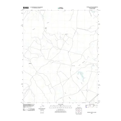 2010 Sonsela Buttes2010 Print · USGSCovers Milkwater, including Fort Defiance Agency, San Juan County, and other nearby areas
 - 2011 Map of Sonsela Buttes, 2011 Print
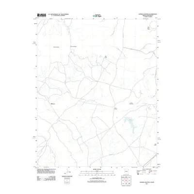 2011 Sonsela Buttes2011 Print · USGSCovers Milkwater, including Fort Defiance Agency, San Juan County, and other nearby areas
 - 2014 Map of Sonsela Buttes, 2014 Print
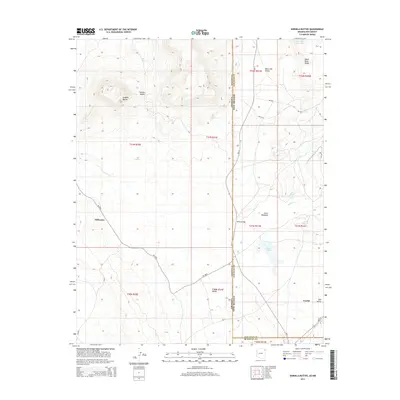 2014 Sonsela Buttes2014 Print · USGSCovers Milkwater, including Fort Defiance Agency, San Juan County, and other nearby areas
 - 2018 Map of Sonsela Buttes, 2018 Print
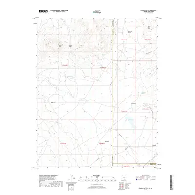 2018 Sonsela Buttes2018 Print · USGSCovers Milkwater, including Fort Defiance Agency, San Juan County, and other nearby areas
 - 2021 Map of Sonsela Buttes, 2021 Print
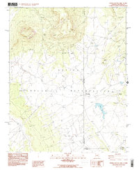
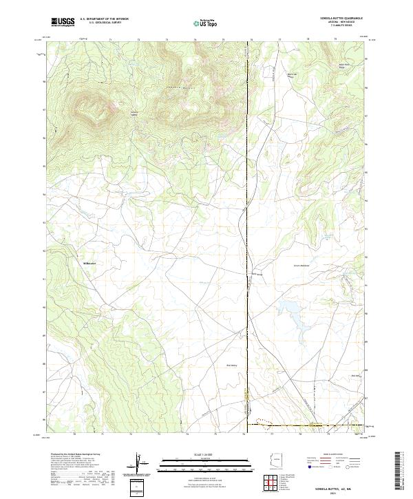 2021 Sonsela Buttes2021 Print · USGSThe Arizona and New Mexico borderlands come into focus here, showing the high-desert landscape at the start of the 2020s. Genealogists and historians can trace the remote settlements of Milkwater and Red Valley alongside landmarks like White Bridge.
End of results
Showing maps 1-13 of 13
Top cities near Milkwater
- Shiprock Agency historical maps
- Chinle Agency historical maps
- Fort Defiance Agency historical maps
- Eastern Navajo Agency historical maps
Frequently asked questions
- What are the different types of historical maps available for Milkwater?
- What is the oldest map of Milkwater?
- Where can I purchase historical maps of Milkwater for my home or office?
- Where can I download high-res historical maps of Milkwater?
- Are there historical topographic maps available for Milkwater?
- Is there historical aerial imagery available for Milkwater?
- Where are historical maps of Milkwater sourced from?