Old Maps of Milledgeville, Georgia for Metal Detecting
Plan your next treasure hunt with 31 historic maps of Milledgeville. Find old homesites, ghost towns, trails, and gathering spots that may be lost to time — perfect for identifying promising metal detecting locations.
- Locate forgotten sites: Uncover places like long-lost settlements, abandoned rail lines, or gathering spots.
- Plan better hunts: Use map overlays combined with LiDAR or satellite views to narrow in on historically rich areas.
- Made for detectorists: Thousands of hobbyists use these maps to discover relics, coins, and hidden history.
Use these historic maps to boost your research and find new opportunities beneath the surface of Milledgeville.
Milledgeville, GA maps
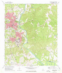
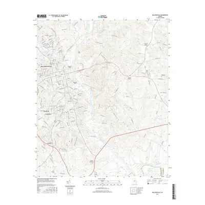
(31)- 1912 Map of Milledgeville
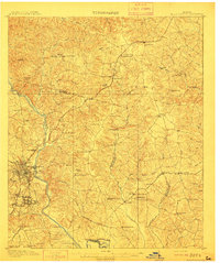 1912 Milledgeville1912 Print · USGSMilledgeville and its surroundings at the start of the century show a landscape shaped by state institutions and an expanding rail network. Researchers can trace the extensive State Sanitarium grounds or locate rural landmarks like Coleman Mill and Griffin Academy.3 unique versions available
 - 1953 Map of Athens, 1966 Print
 1953 Athens1966 Print · USGSGeorgia's Piedmont and Savannah River borderlands come alive in this mid-century survey of the region surrounding Athens and Augusta. Trace the rail-and-river economy through the Georgia RR and landmarks like the Fort Gordon Military Reservation.3 unique versions available
 - 1958 Map of Athens
 1958 Athens1958 Print · USGSNorth-central Georgia and the Savannah River valley are captured in the late fifties, showing the region as the new reservoirs were filling. Researchers can trace historic rail lines like the Georgia RR and locate rural landmarks such as Social Circle, Graves Mountain, and the Fort Gordon Military Reservation.
 - 1959 Map of Athens
 1959 Athens1959 Print · USGSNortheast Georgia and the South Carolina borderlands appear here in the mid-fifties, during a decade of infrastructure growth. Genealogists and historians can trace the rail-and-river geography of towns like Social Circle, the sprawl of Fort Gordon Military Reservation, and the newly formed Clark Hill Reservoir.
 - 1963 Map of Athens
 1963 Athens1963 Print · USGSGeorgia's Piedmont and the Savannah River valley are captured in the early sixties as major reservoirs and military installations reshaped the landscape. Researchers can trace the development of Clark Hill Reservoir, locate the Fort Gordon Military Reservation, and find historic towns like Social Circle and Eatonton.
 - 1972 Map of Browns Crossing, 1975 Print
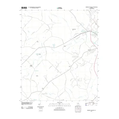
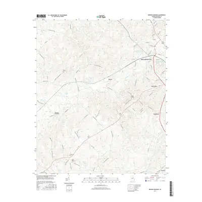
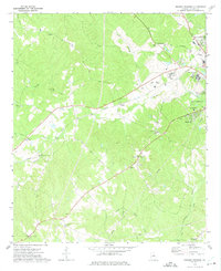 1972 Browns Crossing1975 Print · USGSMiddle Georgia's western Baldwin County transitions from rural creek basins to institutional centers in the early 1970s. Genealogists and historians can trace community roots through numerous landmarks like Browns Crossing, Antioch Ch, and the State Training School for Boys.2 unique versions available
 - 1972 Map of Lake Sinclair West, 1975 Print
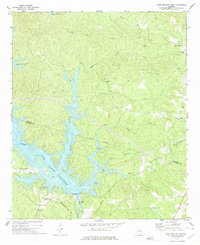
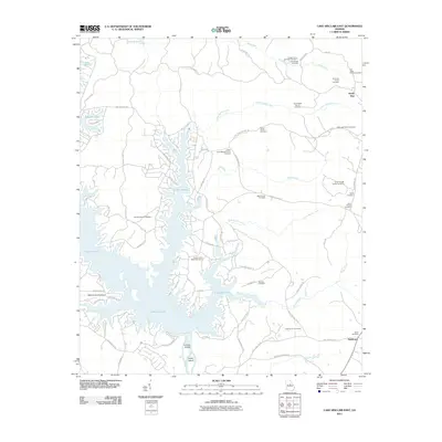
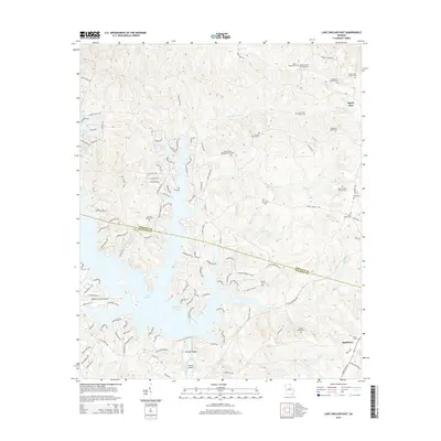
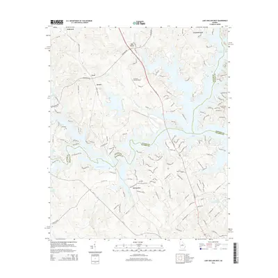
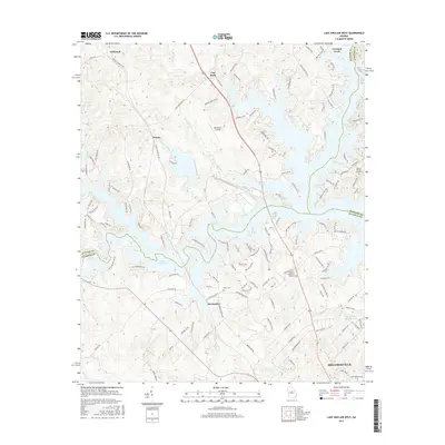
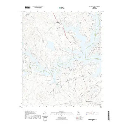
 1972 Lake Sinclair West1975 Print · USGSThe confluence of the Oconee and Little Rivers in the early seventies shows a landscape transformed by power generation and lakeside growth. Researchers can locate rural landmarks like Rooty Creek Ch, the Central of Georgia rail line, and the John Milledge Academy.
 - 1972 Map of Lake Sinclair East, 1975 Print
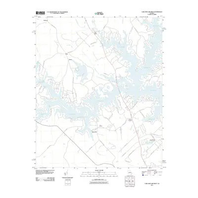
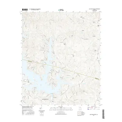
 1972 Lake Sinclair East1975 Print · USGSThe shorelines of Lake Sinclair in the early seventies reveal a landscape transitioning between rural heritage and new industrial utility. Researchers can trace local landmarks like Island Creek Ch and Walls Cem or locate the Powerplant near Carter Island.2 unique versions available
 - 1972 Map of Milledgeville, 1975 Print
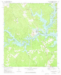
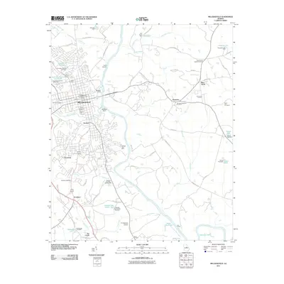
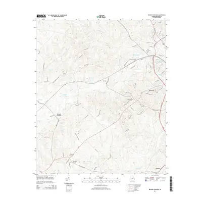
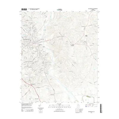
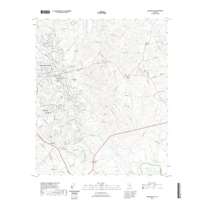
 1972 Milledgeville1975 Print · USGSMilledgeville and the Oconee River valley are captured here in the early seventies, showcasing a landscape defined by prominent state institutions and schools. Genealogists and historians can trace State Hospital grounds and local landmarks like Memory Hill Cem and Fort Wilkinson Historical Site.3 unique versions available
 - 1981 Map of Milledgeville
 1981 Milledgeville1981 Print · USGSMiddle Georgia in the early eighties shows a landscape shaped by major reservoirs and deep forests. Genealogists and historians can trace the rail networks of the Southern and Central of Georgia through towns like Monticello and Eatonton.2 unique versions available
 - 1988 Map of Athens
 1988 Athens1988 Print · USGSThe Georgia Piedmont and South Carolina borderlands appear in the late eighties as a landscape of vast reservoirs and growing towns. Researchers can trace the legacy of the Georgia RR connecting Athens and Augusta, or locate landmarks within Oconee National Forest.
 - 2011 Map of Lake Sinclair East, 2011 Print
 2011 Lake Sinclair East2011 Print · USGSCovers Milledgeville, including Sandtown, Sandy Run, and other nearby areas
 - 2011 Map of Lake Sinclair West, 2011 Print
 2011 Lake Sinclair West2011 Print · USGSCovers Milledgeville, including Flat Rock, Hallwood, and other nearby areas
 - 2011 Map of Milledgeville, 2011 Print
 2011 Milledgeville2011 Print · USGSCovers Milledgeville, including Hardwick, Scottsboro, and other nearby areas
 - 2011 Map of Browns Crossing, 2011 Print
 2011 Browns Crossing2011 Print · USGSCovers Milledgeville, including Browns Crossing, Blandy, and other nearby areas
 - 2014 Map of Lake Sinclair East, 2014 Print
 2014 Lake Sinclair East2014 Print · USGSCovers Milledgeville, including Sandtown, Sandy Run, and other nearby areas
 - 2014 Map of Lake Sinclair West, 2014 Print
 2014 Lake Sinclair West2014 Print · USGSCovers Milledgeville, including Flat Rock, Hallwood, and other nearby areas
 - 2014 Map of Browns Crossing, 2014 Print
 2014 Browns Crossing2014 Print · USGSCovers Milledgeville, including Browns Crossing, Blandy, and other nearby areas
 - 2014 Map of Milledgeville, 2014 Print
 2014 Milledgeville2014 Print · USGSCovers Milledgeville, including Hardwick, Scottsboro, and other nearby areas
 - 2017 Map of Lake Sinclair West, 2017 Print
 2017 Lake Sinclair West2017 Print · USGSCovers Milledgeville, including Flat Rock, Hallwood, and other nearby areas
 - 2017 Map of Browns Crossing, 2017 Print
 2017 Browns Crossing2017 Print · USGSCovers Milledgeville, including Browns Crossing, Blandy, and other nearby areas
 - 2017 Map of Lake Sinclair East, 2017 Print
 2017 Lake Sinclair East2017 Print · USGSCovers Milledgeville, including Sandtown, Sandy Run, and other nearby areas
 - 2017 Map of Milledgeville, 2017 Print
 2017 Milledgeville2017 Print · USGSCovers Milledgeville, including Hardwick, Scottsboro, and other nearby areas
 - 2020 Map of Lake Sinclair West, 2020 Print
 2020 Lake Sinclair West2020 Print · USGSCovers Milledgeville, including Flat Rock, Hallwood, and other nearby areas
 - 2020 Map of Milledgeville, 2020 Print
 2020 Milledgeville2020 Print · USGSCovers Milledgeville, including Hardwick, Scottsboro, and other nearby areas
Showing maps 1-25 of 31
Top cities near Milledgeville
- Eatonton historical maps
- Hardwick historical maps
- Gordon historical maps
- Ivey historical maps
- Crooked Creek historical maps
Top neighborhoods of Milledgeville
Frequently asked questions
- What are the different types of historical maps available for Milledgeville?
- What is the oldest map of Milledgeville?
- Where can I purchase historical maps of Milledgeville for my home or office?
- Where can I download high-res historical maps of Milledgeville?
- Are there historical topographic maps available for Milledgeville?
- Is there historical aerial imagery available for Milledgeville?
- Where are historical maps of Milledgeville sourced from?