2020s Maps of Barrow County, Georgia
Explore 14 historic maps of Barrow County from the 2020s. These maps offer a rare glimpse into what life looked like during the 2020s — showing old roads, neighborhoods, homes, and landmarks that have changed or disappeared over time.
Whether you're researching your family's past, planning a metal detecting trip, or studying how Barrow County's landscape evolved across the 2020s, these high-resolution maps are a powerful tool for exploring the history of this region.
- Focus on a specific era: All maps on this page are from the 2020s, giving you a focused view of this time period.
- See what’s changed: Compare century-old streets, trails, and buildings to today's modern landscape using overlays and satellite layers.
- Research with precision: Use these maps for genealogy, historical research, land use analysis, or educational projects.
- View, download, or print: Maps are fully viewable online in high resolution, and can be downloaded or printed for your own records.
Start exploring Barrow County's history through authentic maps from the 2020s. This is your window into the past.
Barrow County, GA maps
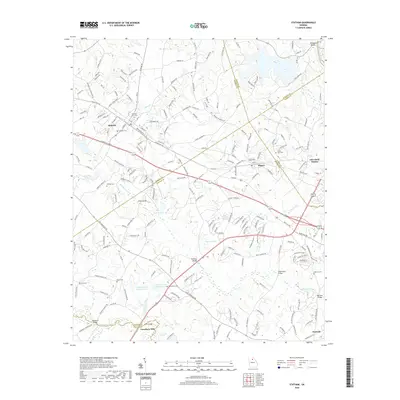
(14)- 2020 Map of Chestnut Mountain, 2020 Print
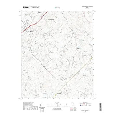 2020 Chestnut Mountain2020 Print · USGSCovers Barrow County, including Gainesville, Braselton, and other nearby areas
 - 2020 Map of Winder North, 2020 Print
 2020 Winder North2020 Print · USGSCovers Barrow County, including Winder, Jefferson, and other nearby areas
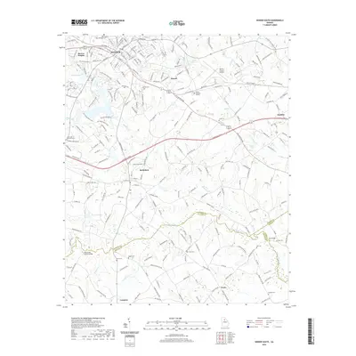
 - 2020 Map of Jefferson, 2020 Print
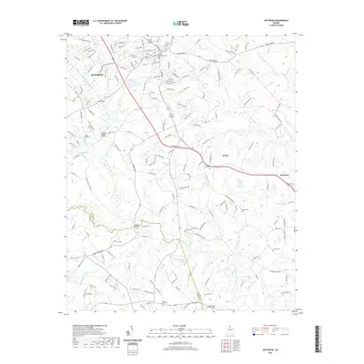 2020 Jefferson2020 Print · USGSCovers Barrow County, including Jefferson, Arcade, and other nearby areas
 - 2020 Map of Auburn, 2020 Print
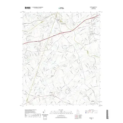 2020 Auburn2020 Print · USGSCovers Barrow County, including Winder, Braselton, and other nearby areas
 - 2020 Map of Statham, 2020 Print
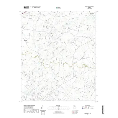
 2020 Statham2020 Print · USGSCovers Barrow County, including Athens, Statham, and other nearby areas
 - 2020 Map of Bold Springs, 2020 Print
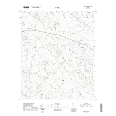 2020 Bold Springs2020 Print · USGSCovers Barrow County, including Winder, Auburn, and other nearby areas
 - 2020 Map of Winder South, 2020 Print
 2020 Winder South2020 Print · USGSCovers Barrow County, including Winder, Statham, and other nearby areas
 - 2024 Map of Chestnut Mountain, 2024 Print
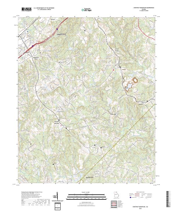 2024 Chestnut Mountain2024 Print · USGSHall County in the early twenty-first century shows a landscape where historic rural crossroads are meeting modern suburban growth. Genealogists can locate family burial sites at Redwine Methodist Cem and Martin Cem, or trace the rail corridor of the Norfolk Southern.
 - 2024 Map of Jefferson, 2024 Print
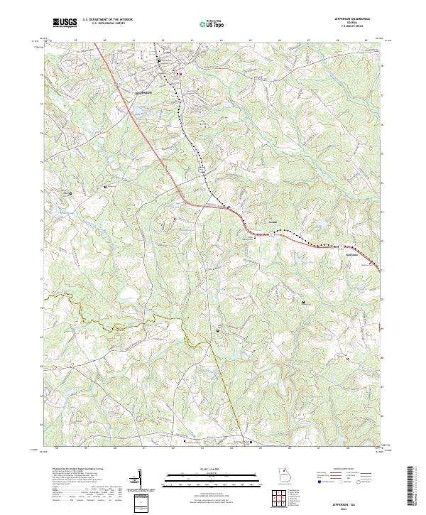 2024 Jefferson2024 Print · USGSJefferson and the surrounding Jackson County countryside are shown here at a time of continued rural development and riverfront stability. Genealogists can trace family heritage through numerous community burial sites like Poplar Springs Cem, Redstone Cem, and the Galilee Cem.
 - 2024 Map of Bold Springs, 2024 Print
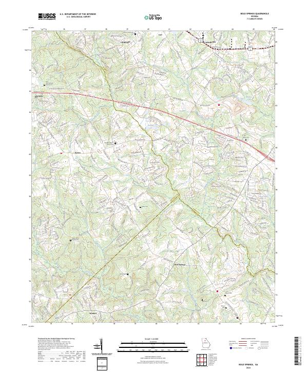 2024 Bold Springs2024 Print · USGSBarrow County and its neighbors Gwinnett and Walton appear here in the early twenty-first century as suburban growth meets rural tradition. Genealogists and local researchers can locate numerous family burial sites, including Peavy Cem, Still Cem, and Midway Methodist Cem.
 - 2024 Map of Winder North, 2024 Print
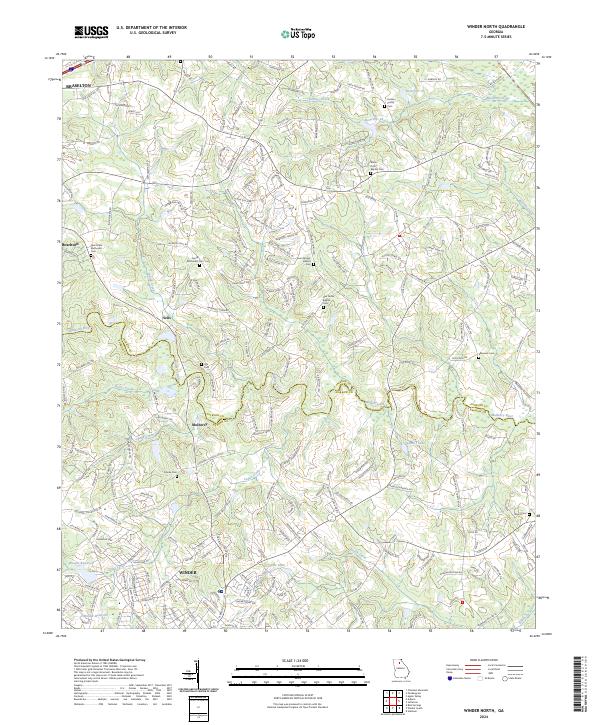 2024 Winder North2024 Print · USGSJackson and Barrow counties show a mix of growing towns and deep-rooted rural history in the early 2020s. Genealogists can trace family names at the Dosters Family Cem, Ebenezer Cem, and New Hope Methodist Cem.
 - 2024 Map of Auburn, 2024 Print
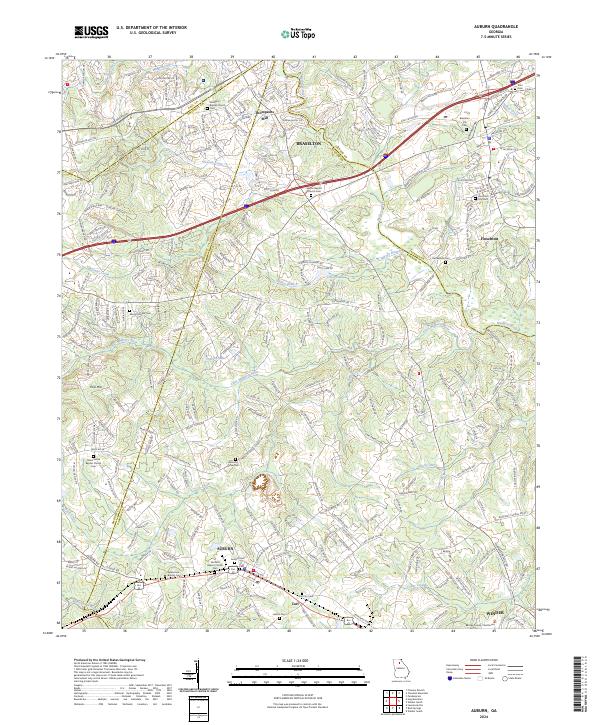 2024 Auburn2024 Print · USGSBarrow County and its neighboring borders are captured in this modern survey of North Georgia's evolving municipal corridors. Researchers can locate numerous family and church burial sites including Auburn Cem, Carl City Cem, and Zion Cem.
 - 2024 Map of Winder South, 2024 Print
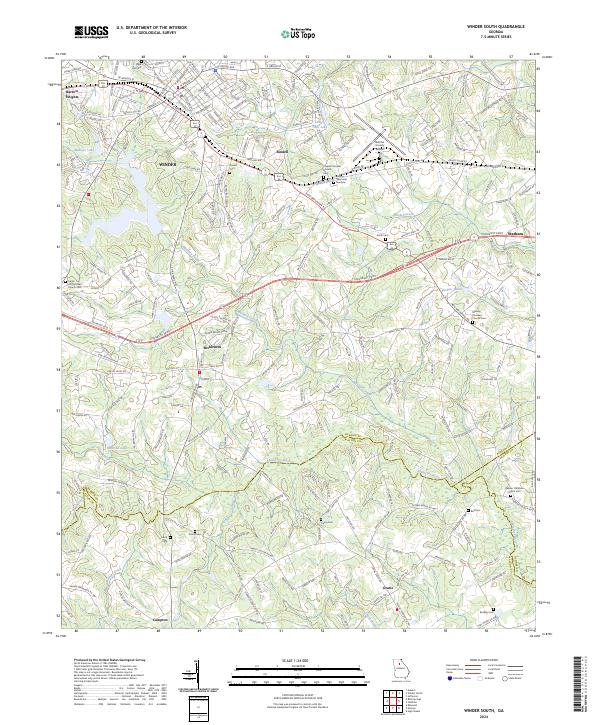 2024 Winder South2024 Print · USGSBarrow County and its surrounding borders come into focus in this contemporary survey, showing the busy corridor between Winder and Statham. Genealogists and historians can trace family locations near Russell Cem, Carter Hill Christian Church, and the quiet crossroads at Gratis.
 - 2024 Map of Statham, 2024 Print
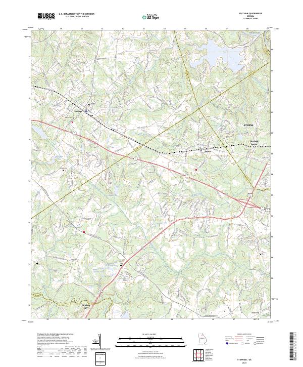 2024 Statham2024 Print · USGSBarrow and Oconee counties at the contemporary edge of ATHENS show a transition from rural mills to modern crossroads. Family researchers can pinpoint Statham City Cem, Delay Cem, and the historic Caruthers Mill alongside the active CSX TRANSPORTATION rail line.
End of results
Showing maps 1-14 of 14
Top cities of Barrow County
- Winder historical maps
- Auburn historical maps
- Statham historical maps
- Russell historical maps
- Bethlehem historical maps
- Carl historical maps
Frequently asked questions
- What are the different types of historical maps available for Barrow County?
- What is the oldest map of Barrow County?
- Where can I purchase historical maps of Barrow County for my home or office?
- Where can I download high-res historical maps of Barrow County?
- Are there historical topographic maps available for Barrow County?
- Is there historical aerial imagery available for Barrow County?
- Where are historical maps of Barrow County sourced from?