2020s Maps of Bartow County, Georgia
Explore 32 historic maps of Bartow County from the 2020s. These maps offer a rare glimpse into what life looked like during the 2020s — showing old roads, neighborhoods, homes, and landmarks that have changed or disappeared over time.
Whether you're researching your family's past, planning a metal detecting trip, or studying how Bartow County's landscape evolved across the 2020s, these high-resolution maps are a powerful tool for exploring the history of this region.
- Focus on a specific era: All maps on this page are from the 2020s, giving you a focused view of this time period.
- See what’s changed: Compare century-old streets, trails, and buildings to today's modern landscape using overlays and satellite layers.
- Research with precision: Use these maps for genealogy, historical research, land use analysis, or educational projects.
- View, download, or print: Maps are fully viewable online in high resolution, and can be downloaded or printed for your own records.
Start exploring Bartow County's history through authentic maps from the 2020s. This is your window into the past.
Bartow County, GA maps
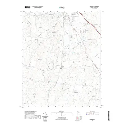
(32)- 2020 Map of Sonoraville, 2020 Print
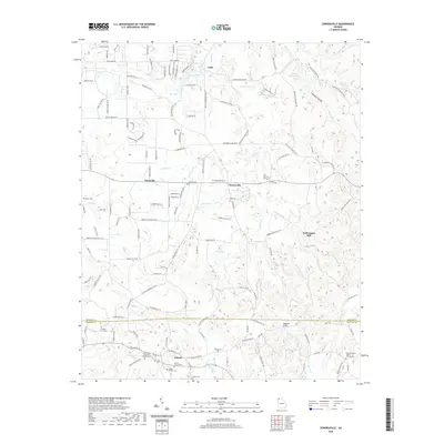 2020 Sonoraville2020 Print · USGSCovers Bartow County, including Farmville, Sonoraville, and other nearby areas
 - 2020 Map of Taylorsville, 2020 Print
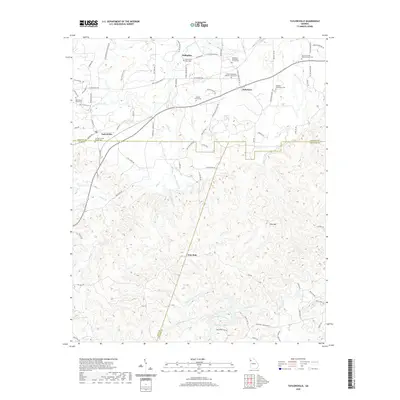 2020 Taylorsville2020 Print · USGSCovers Bartow County, including Euharlee, Taylorsville, and other nearby areas
 - 2020 Map of White East, 2020 Print
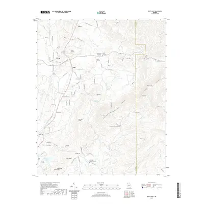 2020 White East2020 Print · USGSCovers Bartow County, including White, Bolivar, and other nearby areas
 - 2020 Map of White West, 2020 Print
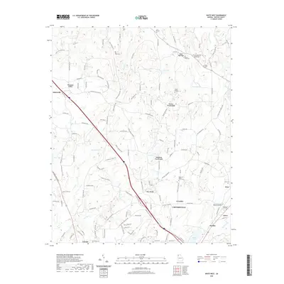 2020 White West2020 Print · USGSCovers Bartow County, including Cartersville, Adairsville, and other nearby areas
 - 2020 Map of Adairsville, 2020 Print
 2020 Adairsville2020 Print · USGSCovers Bartow County, including Adairsville, Manning Mill, and other nearby areas
 - 2020 Map of Fairmount, 2020 Print
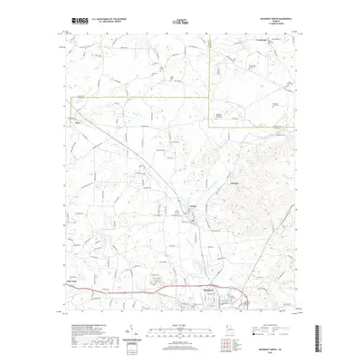
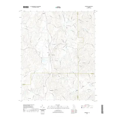 2020 Fairmount2020 Print · USGSCovers Bartow County, including Fairmount, Ranger, and other nearby areas
 - 2020 Map of Kingston, 2020 Print
 2020 Kingston2020 Print · USGSCovers Bartow County, including Euharlee, Kingston, and other nearby areas
 - 2020 Map of Wax, 2020 Print
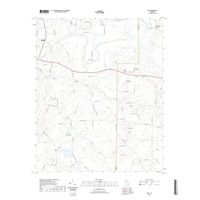 2020 Wax2020 Print · USGSCovers Bartow County, including Rome, Chulio, and other nearby areas
 - 2020 Map of Rockmart North, 2020 Print
 2020 Rockmart North2020 Print · USGSCovers Bartow County, including Rockmart, Aragon, and other nearby areas
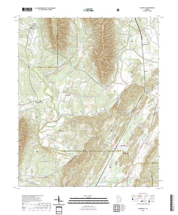
 - 2020 Map of Plainville, 2020 Print
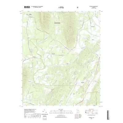 2020 Plainville2020 Print · USGSCovers Bartow County, including Plainville, Rosedale, and other nearby areas
 - 2020 Map of Shannon, 2020 Print
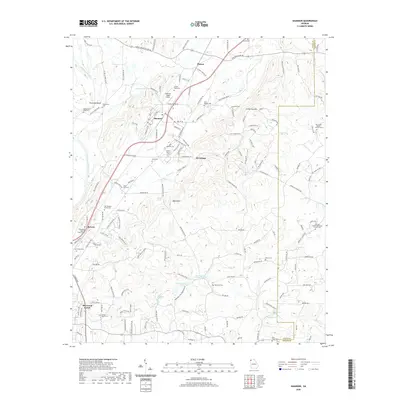 2020 Shannon2020 Print · USGSCovers Bartow County, including Rome, Pinson, and other nearby areas
 - 2020 Map of Allatoona Dam, 2020 Print
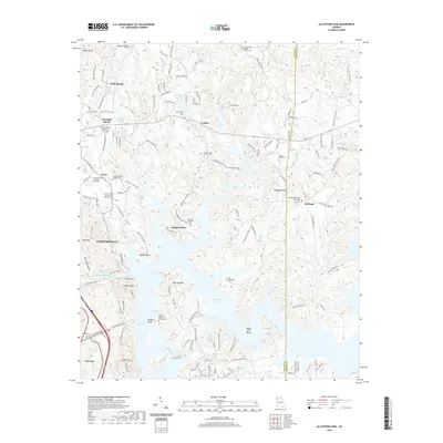 2020 Allatoona Dam2020 Print · USGSCovers Bartow County, including Cartersville, Emerson, and other nearby areas
 - 2020 Map of Calhoun South, 2020 Print
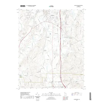 2020 Calhoun South2020 Print · USGSCovers Bartow County, including Calhoun, Adairsville, and other nearby areas
 - 2020 Map of Acworth, 2020 Print
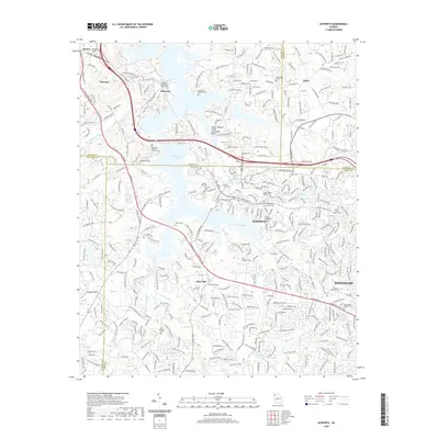 2020 Acworth2020 Print · USGSCovers Bartow County, including Kennesaw, Acworth, and other nearby areas
 - 2020 Map of Cartersville, 2020 Print
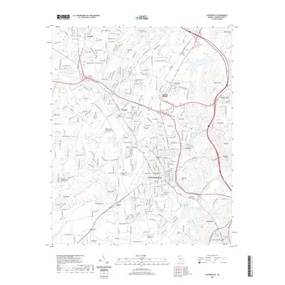 2020 Cartersville2020 Print · USGSCovers Bartow County, including Cartersville, Emerson, and other nearby areas
 - 2020 Map of Burnt Hickory Ridge, 2020 Print
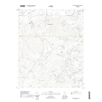 2020 Burnt Hickory Ridge2020 Print · USGSCovers Bartow County, including Cartersville, Emerson, and other nearby areas
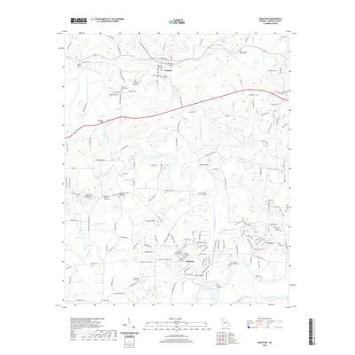
 - 2024 Map of Wax, 2024 Print
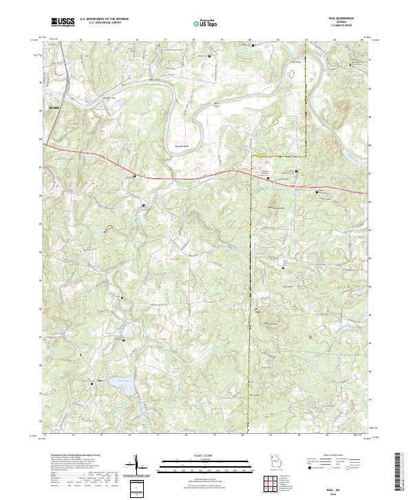 2024 Wax2024 Print · USGSIn this modern survey of Floyd County, the Etowah River valley remains a place defined by its historic water crossings and mountain ridges. Researchers can trace family ties through numerous local landmarks, including Wax Community Cem, Freeman Ferry, and Mullinax Mtn.
 - 2024 Map of Adairsville, 2024 Print
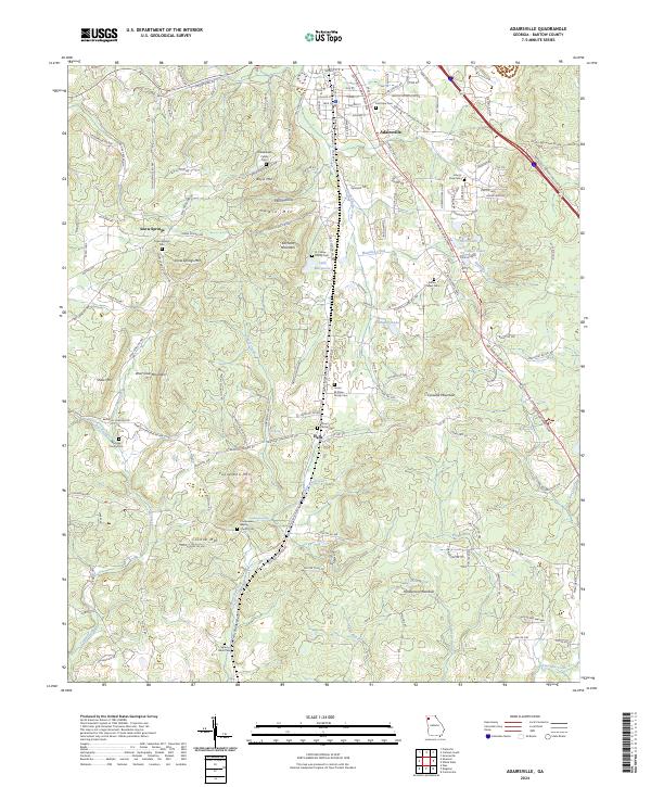 2024 Adairsville2024 Print · USGSAdairsville and the surrounding Bartow County ridges are captured here in the modern era, showing a landscape defined by historic transit corridors and family legacies. Genealogists can locate numerous family-named plots, including the B F Shaw Family Cem and the Schwanbeck Family Cem, alongside the Connesena Baptist Church Cem.
 - 2024 Map of Rockmart North, 2024 Print
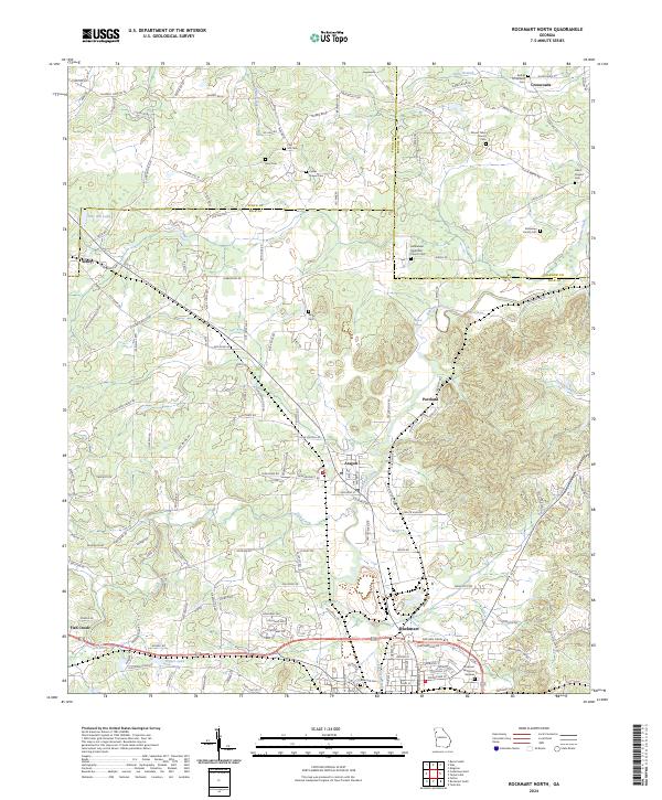 2024 Rockmart North2024 Print · USGSThe industrial and agricultural corridor between Rockmart and Aragon is shown in this current-era survey. Genealogists can trace family heritage through sites like Dickerson Family Cem, Davis Chapel Cem, and Bethlehem Methodist Church.
 - 2024 Map of Shannon, 2024 Print
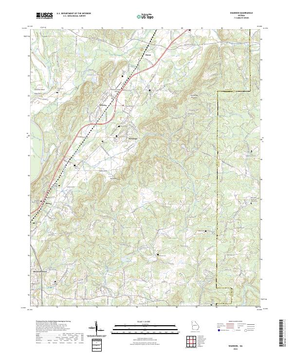 2024 Shannon2024 Print · USGSThe Oostanaula River valley in Northwest Georgia comes into focus here, showing the rural landscapes of Floyd and Bartow Counties. Researchers can locate numerous local burial grounds and historic congregations like Rush Chapel Cem and Barnsley United Methodist Church Cem.
 - 2024 Map of Plainville, 2024 Print
 2024 Plainville2024 Print · USGSThe river valleys of Gordon and Floyd counties are captured here in the early twenty-first century, highlighting the enduring role of the Oostanaula River. Researchers can trace old river crossings like Blalocks Ferry or locate rural landmarks such as Everett Springs Baptist Church and Plainville Road Cem.
 - 2024 Map of Taylorsville, 2024 Print
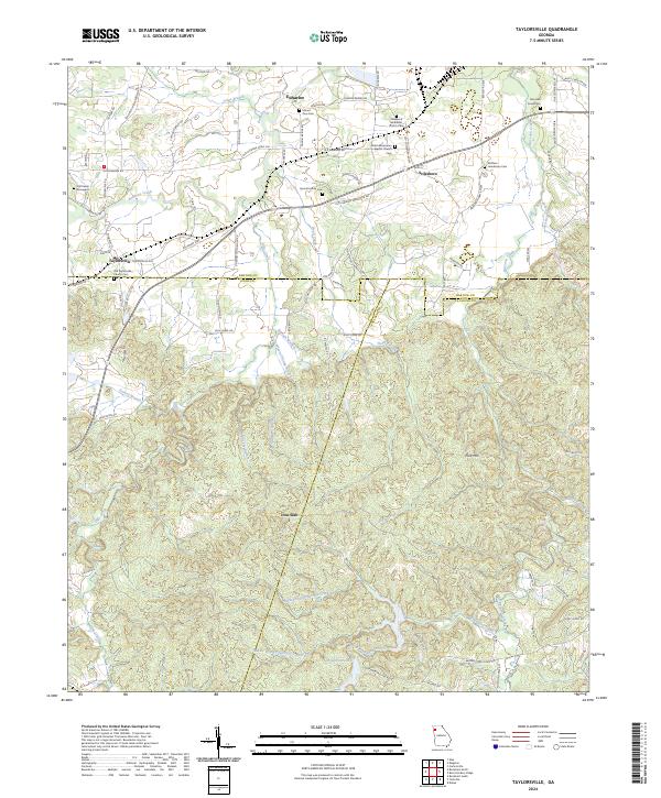 2024 Taylorsville2024 Print · USGSBartow and Polk Counties are mapped here in the modern era, showing a landscape of deep-rooted family settlements and country churches. Researchers can trace local history through sites like Old Salem Graveyard, Stilesboro, and the Sproull Family Cemetery.
 - 2024 Map of Kingston, 2024 Print
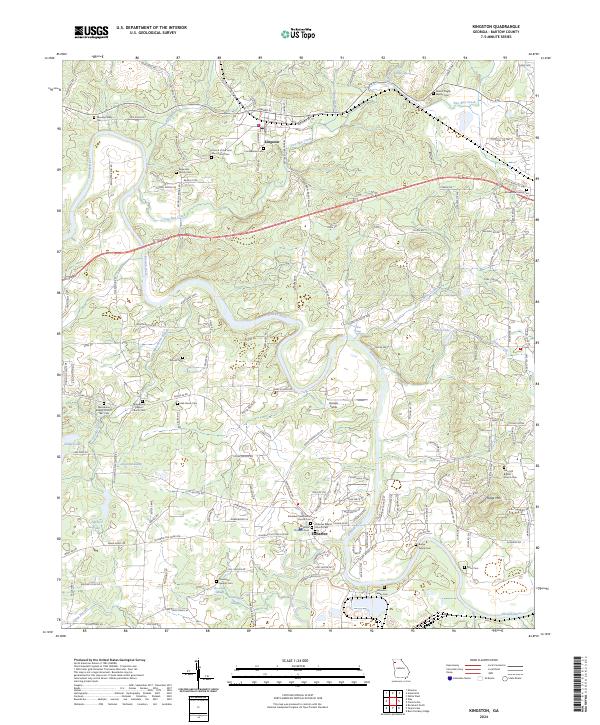 2024 Kingston2024 Print · USGSBartow County's river valleys and rail lines are captured here in the early twenty-first century, showing a landscape defined by historic family landholdings. Genealogists can trace deep roots at Macedonia Baptist Church 1847 Cem, Confederate Cem, and Black Pioneers Cem.
 - 2024 Map of Sonoraville, 2024 Print
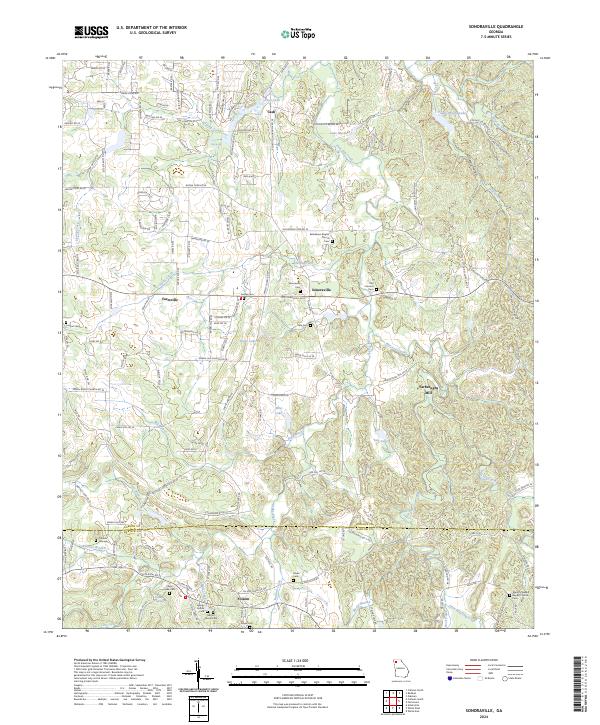 2024 Sonoraville2024 Print · USGSSettled hamlets in Gordon and Bartow counties are captured here in the contemporary era, showing a landscape defined by creeks and country crossroads. Researchers can trace local heritage through sites like Yarbroughs Mill, Franklin Graveyard, and the Bethlehem Baptist Church.
 - 2024 Map of Allatoona Dam, 2024 Print
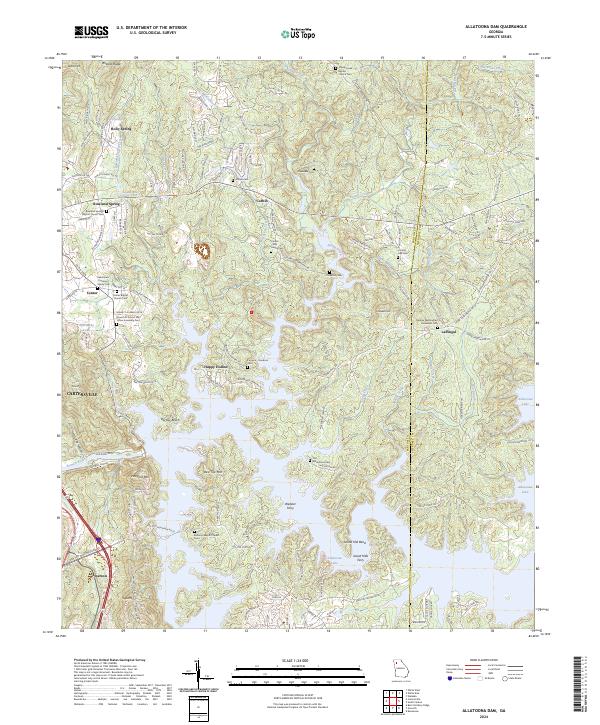 2024 Allatoona Dam2024 Print · USGSBartow County's rugged shoreline and rural ridges are captured here as the modern landscape of the Etowah River valley meets its deep history. Genealogists can trace family names at the Alexander Cem, Furnace-Goodson Cem, or the old crossing at Webster Ferry.
Showing maps 1-25 of 32
Top cities of Bartow County
- Cartersville historical maps
- Adairsville historical maps
- Euharlee historical maps
- Emerson historical maps
- White historical maps
- Kingston historical maps
Frequently asked questions
- What are the different types of historical maps available for Bartow County?
- What is the oldest map of Bartow County?
- Where can I purchase historical maps of Bartow County for my home or office?
- Where can I download high-res historical maps of Bartow County?
- Are there historical topographic maps available for Bartow County?
- Is there historical aerial imagery available for Bartow County?
- Where are historical maps of Bartow County sourced from?