2000s (21st Century) Maps of Euharlee, Georgia
Explore 10 historic maps of Euharlee from the 2000s (21st Century). These maps offer a rare glimpse into what life looked like during the 2000s — showing old roads, neighborhoods, homes, and landmarks that have changed or disappeared over time.
Whether you're researching your family's past, planning a metal detecting trip, or studying how Euharlee's landscape evolved across the 2000s, these high-resolution maps are a powerful tool for exploring the history of this region.
- Focus on a specific era: All maps on this page are from the 2000s, giving you a focused view of this time period.
- See what’s changed: Compare century-old streets, trails, and buildings to today's modern landscape using overlays and satellite layers.
- Research with precision: Use these maps for genealogy, historical research, land use analysis, or educational projects.
- View, download, or print: Maps are fully viewable online in high resolution, and can be downloaded or printed for your own records.
Start exploring Euharlee's history through authentic maps from the 2000s. This is your window into the past.
Euharlee, GA maps
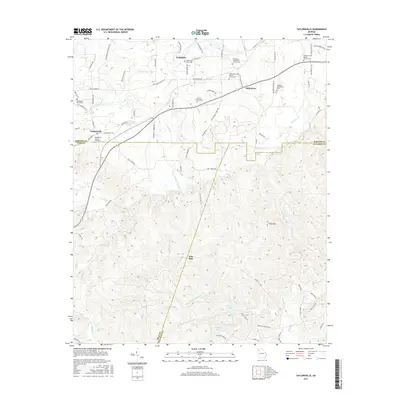
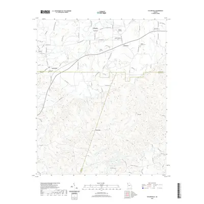
(10)- 2011 Map of Taylorsville, 2011 Print
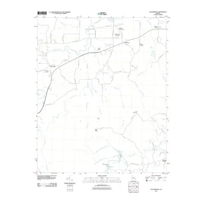 2011 Taylorsville2011 Print · USGSCovers Euharlee, including Taylorsville, Iron Stab, and other nearby areas
 - 2011 Map of Kingston, 2011 Print
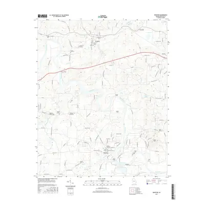
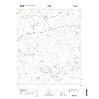
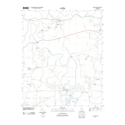 2011 Kingston2011 Print · USGSCovers Euharlee, including Kingston, Bartow County, and other nearby areas
 - 2014 Map of Taylorsville, 2014 Print
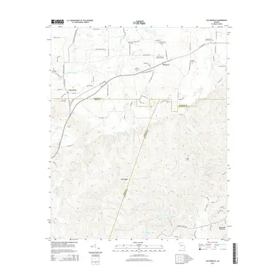 2014 Taylorsville2014 Print · USGSCovers Euharlee, including Taylorsville, Iron Stab, and other nearby areas
 - 2014 Map of Kingston, 2014 Print
 2014 Kingston2014 Print · USGSCovers Euharlee, including Kingston, Bartow County, and other nearby areas
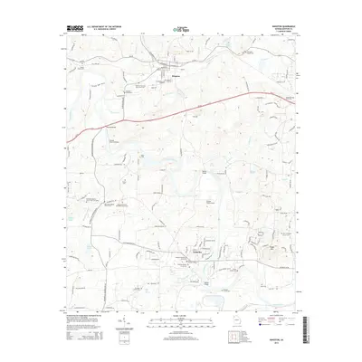
 - 2017 Map of Kingston, 2017 Print
 2017 Kingston2017 Print · USGSCovers Euharlee, including Kingston, Bartow County, and other nearby areas
 - 2017 Map of Taylorsville, 2017 Print
 2017 Taylorsville2017 Print · USGSCovers Euharlee, including Taylorsville, Iron Stab, and other nearby areas
 - 2020 Map of Taylorsville, 2020 Print
 2020 Taylorsville2020 Print · USGSCovers Euharlee, including Taylorsville, Iron Stab, and other nearby areas
 - 2020 Map of Kingston, 2020 Print
 2020 Kingston2020 Print · USGSCovers Euharlee, including Kingston, Bartow County, and other nearby areas
 - 2024 Map of Taylorsville, 2024 Print
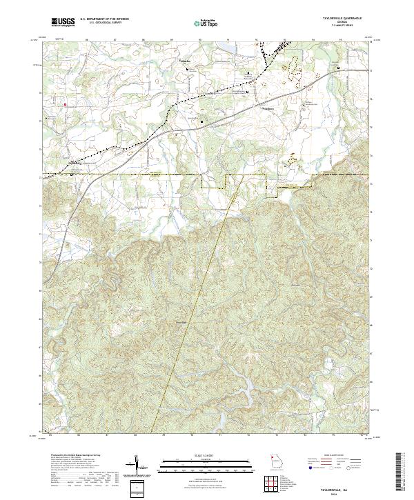 2024 Taylorsville2024 Print · USGSBartow and Polk Counties are mapped here in the modern era, showing a landscape of deep-rooted family settlements and country churches. Researchers can trace local history through sites like Old Salem Graveyard, Stilesboro, and the Sproull Family Cemetery.
 - 2024 Map of Kingston, 2024 Print
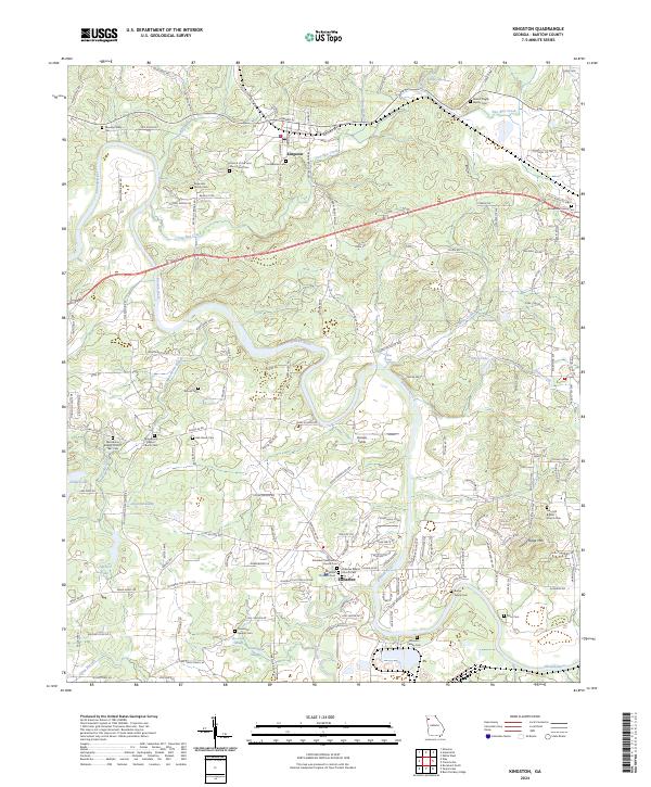 2024 Kingston2024 Print · USGSBartow County's river valleys and rail lines are captured here in the early twenty-first century, showing a landscape defined by historic family landholdings. Genealogists can trace deep roots at Macedonia Baptist Church 1847 Cem, Confederate Cem, and Black Pioneers Cem.
End of results
Showing maps 1-10 of 10
Top cities near Euharlee
- Rome historical maps
- Acworth historical maps
- Cartersville historical maps
- Dallas historical maps
- Adairsville historical maps
- Rockmart historical maps
See more
Frequently asked questions
- What are the different types of historical maps available for Euharlee?
- What is the oldest map of Euharlee?
- Where can I purchase historical maps of Euharlee for my home or office?
- Where can I download high-res historical maps of Euharlee?
- Are there historical topographic maps available for Euharlee?
- Is there historical aerial imagery available for Euharlee?
- Where are historical maps of Euharlee sourced from?