Old Maps of Lulaville, Georgia for Genealogy
Trace your family roots with 11 historic maps of Lulaville. These high-res maps reveal old neighborhoods, homesites, landmarks, and streets — helping you uncover where your ancestors lived and how the area evolved over time.
- Explore historic neighborhoods: Identify where your relatives may have lived in the 1800s or 1900s.
- Compare maps over time: Trace the changes in streets, buildings, and landmarks for multi-generational research.
- Perfect for genealogy & ancestry research: Used by family historians and researchers to map out lineage and migration.
These maps are an incredible resource for exploring your personal connection to Lulaville's past.
Lulaville, GA maps
(11)- 1953 Map of Waycross, 1967 Print
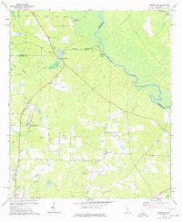
 1953 Waycross1967 Print · USGSSouth Georgia's agricultural and rail heartland is captured here in the mid-1950s, showing a vast network of timber and farming towns. Researchers can trace the rail lines connecting Waycross and Tifton or locate landmarks like Jefferson Davis State Park and Lake Blackshear.2 unique versions available
 - 1958 Map of Waycross
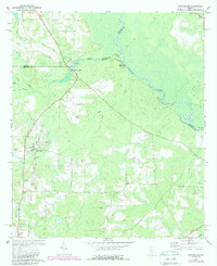
 1958 Waycross1958 Print · USGSSoutheast Georgia in the late fifties remains a landscape of deep river basins and vital rail junctions. Genealogists and historians can trace family-named landmarks and rural hubs like Union Church, South Georgia College, and the sprawling Okefenokee Swamp.2 unique versions available
 - 1972 Map of Queensland, 1988 Print
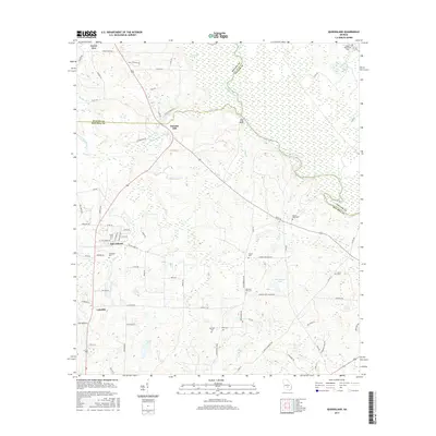
 1972 Queensland1988 Print · USGSBen Hill County and the Ocmulgee River bottomlands are captured here in the early 1970s. Local researchers can trace family sites at Dixon Cem, locate the State Fish Hatchery, or follow the Old Railroad Grade through Queensland.
 - 1977 Map of Queensland
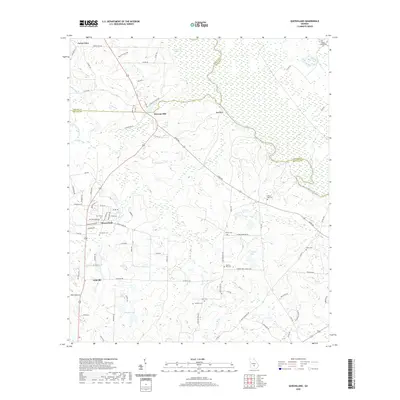
 1977 Queensland1977 Print · USGSSettled along the Ocmulgee River in the late 1970s, this Ben Hill County landscape features a mix of river-based industry and rural community life. Researchers can trace family history at Evergreen Ch or study former transit lines along the OLD RAILROAD GRADE.
 - 1981 Map of Cordele, 1982 Print
 1981 Cordele1982 Print · USGSSouth Georgia’s agricultural heartland is documented here in the early eighties, showing the convergence of the Seaboard Coast Line Railroad and the Georgia Southern and Florida lines. Genealogists and researchers can trace local landmarks like Bowens Mill Pond, the University of Georgia Research Center, and the shores of Lake Blackshear.
 - 1988 Map of Waycross
 1988 Waycross1988 Print · USGSSouth Georgia's wiregrass and timber country is documented here in the late eighties, centered on the vital rail junction of Waycross. Genealogists and historians can trace the rural landscape from Okefenokee up to the Ocmulgee, finding sites like Lumber City and Jefferson Davis Memorial State Park.
 - 2011 Map of Queensland, 2011 Print
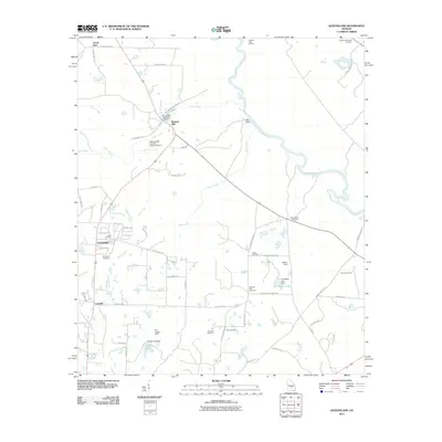 2011 Queensland2011 Print · USGSCovers Lulaville, including Queensland, Bowens Mill, and other nearby areas
 - 2014 Map of Queensland, 2014 Print
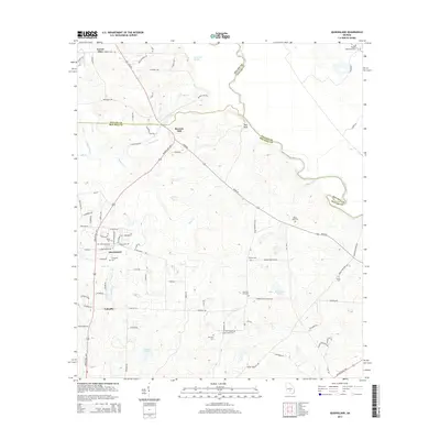 2014 Queensland2014 Print · USGSCovers Lulaville, including Queensland, Bowens Mill, and other nearby areas
 - 2017 Map of Queensland, 2017 Print
 2017 Queensland2017 Print · USGSCovers Lulaville, including Queensland, Bowens Mill, and other nearby areas
 - 2020 Map of Queensland, 2020 Print
 2020 Queensland2020 Print · USGSCovers Lulaville, including Queensland, Bowens Mill, and other nearby areas
 - 2024 Map of Queensland, 2024 Print
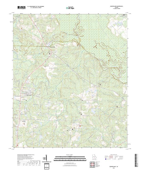 2024 Queensland2024 Print · USGSThe rural borders of Ben Hill and Wilcox counties come alive in this recent survey of the Ocmulgee River basin. Family historians can trace legacies at Bowens Mill, Sandy Ridge Cem, and the old settlement of Queensland.
End of results
Showing maps 1-11 of 11
Top cities near Lulaville
- Ocilla historical maps
- Abbeville historical maps
- Rochelle historical maps
- Rhine historical maps
- Ambrose historical maps
Frequently asked questions
- What are the different types of historical maps available for Lulaville?
- What is the oldest map of Lulaville?
- Where can I purchase historical maps of Lulaville for my home or office?
- Where can I download high-res historical maps of Lulaville?
- Are there historical topographic maps available for Lulaville?
- Is there historical aerial imagery available for Lulaville?
- Where are historical maps of Lulaville sourced from?