Old Maps of Cochran, Georgia for Academic Research
Study the evolution of Cochran with 19 high-resolution historic maps. Whether you're teaching, researching, or modeling changes in land use, these maps provide essential visual documentation of urban, environmental, and geographic change.
- Analyze long-term change: Track patterns in development, transportation, and natural features.
- Ideal for environmental or urban studies: Support academic projects with primary historical map data.
- Use in the classroom or lab: Educators and researchers rely on these maps to bring historical context to life.
These maps are a powerful tool for teaching, research, and visualizing how Cochran has changed over the decades.
Cochran, GA maps
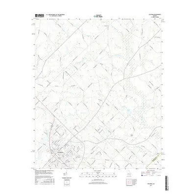
(19)- 1956 Map of Cochran, 1957 Print
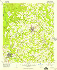 1956 Cochran1957 Print · USGSBleckley and Pulaski counties are captured in the mid-fifties, centered on the railroad corridor and the Middle Georgia College campus. Genealogists can trace family landmarks like Lizzie Bloomer Ch, St Paul Sch, and the riverside community of Hartford.2 unique versions available
 - 1957 Map of Macon
 1957 Macon1957 Print · USGSMid-century Georgia comes into focus as the river-and-rail economy shifts toward a new era of aviation and highway travel. Trace family roots and vanished landmarks across the Ocmulgee River valley from Macon to the onion fields of Vidalia.
 - 1958 Map of Macon
 1958 Macon1958 Print · USGSMiddle Georgia during the late fifties shows the post-war expansion of Warner Robins alongside the deep-rooted rail hubs of the Central of Georgia line. Researchers can trace the river-bound boundaries of numerous counties and find local landmarks like Veterans Memorial Hospital and Robins AFB.
 - 1964 Map of Macon
 1964 Macon1964 Print · USGSCentral Georgia in the mid-sixties is defined by its major river valleys and a booming military presence. Genealogists and historians can trace the growth of Warner Robins near Robins AFB or locate smaller rural junctions like Allentown and Jeffersonville along the historic Southern railroad lines.2 unique versions available
 - 1974 Map of Empire, 1977 Print
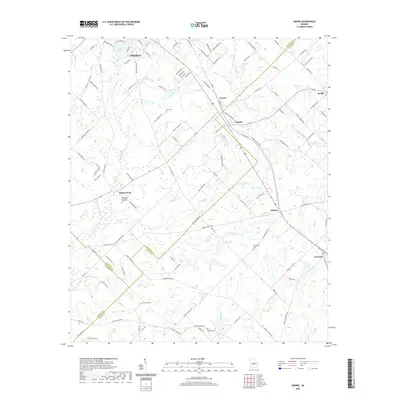
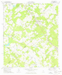 1974 Empire1977 Print · USGSThe Georgia coastal plain comes into focus in the mid-seventies, showing the rail-linked communities of Empire, Frazier, and Dubois along the SOUTHERN line. Genealogists can trace local roots through numerous sites like Hart Cem, Antioch Ch, and Simmons Cem.
 - 1974 Map of Cochran, 1977 Print
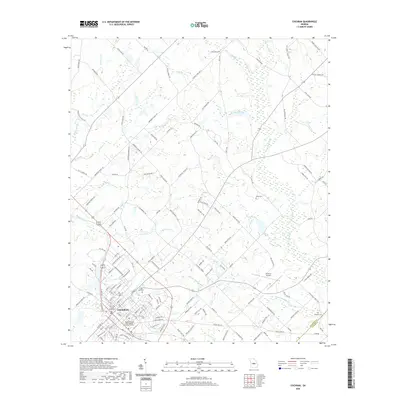
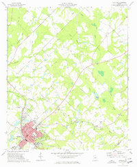 1974 Cochran1977 Print · USGSCochran and its surrounding Bleckley County countryside are shown here during the mid-seventies, featuring the growing campus of Middle Georgia College. Researchers can locate several rural landmarks including Cedar Hill Cem, Antioch Ch, and the old County Fairground.
 - 1977 Map of Hawkinsville
 1977 Hawkinsville1977 Print · USGSSouth Georgia’s agricultural and rail heartland is meticulously documented during the late seventies. Researchers can trace family ties and transit routes through old depots and towns like Unadilla, Pineview, and Hawkinsville along the Ocmulgee River.
 - 1978 Map of Hawkinsville, 1979 Print
 1978 Hawkinsville1979 Print · USGSMiddle Georgia's agricultural and rail heartland is captured here in the late seventies, showing the vital connections between the Ocmulgee River and the rural plains. Genealogists and historians can trace family locations near Vienna, Hawkinsville, or along the tracks of the Southern railroad.
 - 1988 Map of Macon, 1989 Print
 1988 Macon1989 Print · USGSCentral Georgia is captured during the late eighties, showing the expansive river systems and growing urban hubs of the regional interior. Genealogists and historians can trace the paths of the Central of Georgia Railroad and locate communities like Warner Robbins, Dublin, and Sandersville.
 - 2011 Map of Empire, 2011 Print
 2011 Empire2011 Print · USGSCovers Cochran, including Empire, Roddy, and other nearby areas
 - 2011 Map of Cochran, 2011 Print
 2011 Cochran2011 Print · USGSCovers Cochran, including Five Points, Dodge County, and other nearby areas
 - 2014 Map of Empire, 2014 Print
 2014 Empire2014 Print · USGSCovers Cochran, including Empire, Roddy, and other nearby areas
 - 2014 Map of Cochran, 2014 Print
 2014 Cochran2014 Print · USGSCovers Cochran, including Five Points, Dodge County, and other nearby areas
 - 2017 Map of Empire, 2017 Print
 2017 Empire2017 Print · USGSCovers Cochran, including Empire, Roddy, and other nearby areas
 - 2017 Map of Cochran, 2017 Print
 2017 Cochran2017 Print · USGSCovers Cochran, including Five Points, Dodge County, and other nearby areas
 - 2020 Map of Cochran, 2020 Print
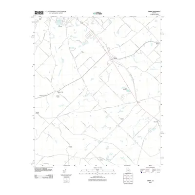
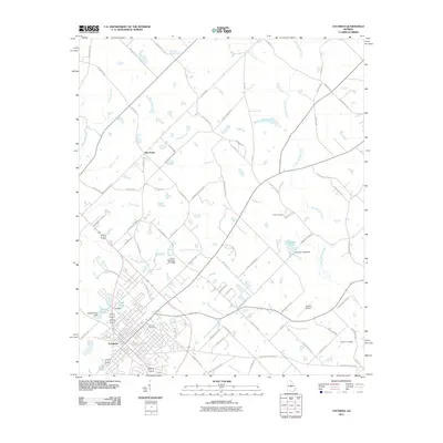
 2020 Cochran2020 Print · USGSCovers Cochran, including Five Points, Dodge County, and other nearby areas
 - 2020 Map of Empire, 2020 Print
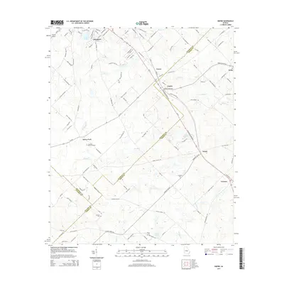
 2020 Empire2020 Print · USGSCovers Cochran, including Empire, Roddy, and other nearby areas
 - 2024 Map of Cochran, 2024 Print
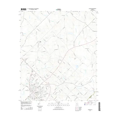
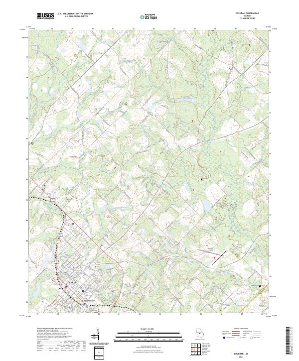 2024 Cochran2024 Print · USGSCochran and its surrounding Georgia timberlands are captured here in the early twenty-first century as the region balances its collegiate and agricultural identities. Researchers can locate Middle Georgia State College - Cochran Campus and trace family-named routes like Daisy Adams Rd near Hill Cem.
 - 2024 Map of Empire, 2024 Print
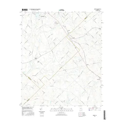
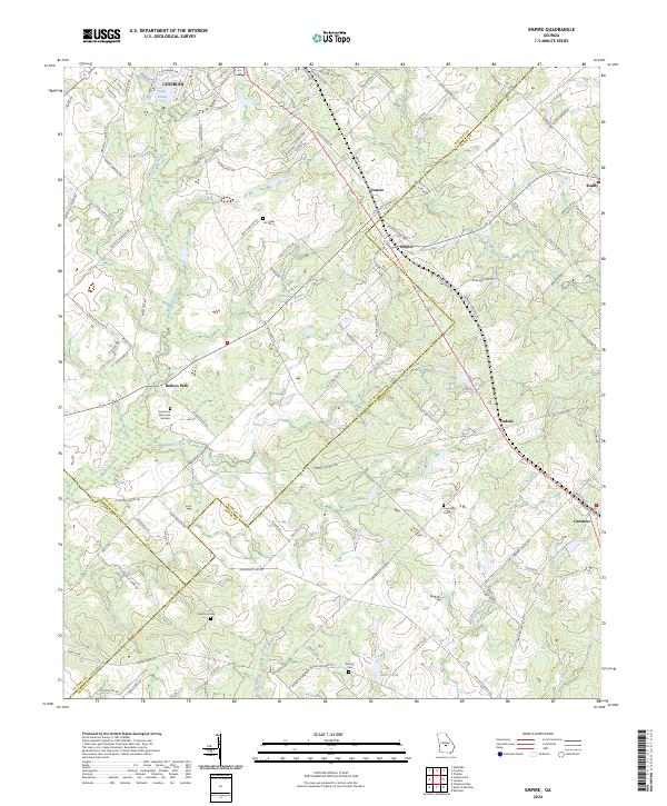 2024 Empire2024 Print · USGSThe rural borders of Bleckley and Dodge counties come alive in this recent survey of Middle Georgia. Genealogists can trace family footprints across numerous sites including Hart Cem, Limestone Memorial Gardens, and the small community of Baileys Park.
End of results
Showing maps 1-19 of 19
Top cities near Cochran
- Eastman historical maps
- Hawkinsville historical maps
- Chester historical maps
- Danville historical maps
- Montrose historical maps
- Allentown historical maps
Frequently asked questions
- What are the different types of historical maps available for Cochran?
- What is the oldest map of Cochran?
- Where can I purchase historical maps of Cochran for my home or office?
- Where can I download high-res historical maps of Cochran?
- Are there historical topographic maps available for Cochran?
- Is there historical aerial imagery available for Cochran?
- Where are historical maps of Cochran sourced from?