Old Maps of Hoboken, Georgia for Genealogy
Trace your family roots with 16 historic maps of Hoboken. These high-res maps reveal old neighborhoods, homesites, landmarks, and streets — helping you uncover where your ancestors lived and how the area evolved over time.
- Explore historic neighborhoods: Identify where your relatives may have lived in the 1800s or 1900s.
- Compare maps over time: Trace the changes in streets, buildings, and landmarks for multi-generational research.
- Perfect for genealogy & ancestry research: Used by family historians and researchers to map out lineage and migration.
These maps are an incredible resource for exploring your personal connection to Hoboken's past.
Hoboken, GA maps
(16)- 1953 Map of Waycross, 1967 Print
 1953 Waycross1967 Print · USGSSouth Georgia's agricultural and rail heartland is captured here in the mid-1950s, showing a vast network of timber and farming towns. Researchers can trace the rail lines connecting Waycross and Tifton or locate landmarks like Jefferson Davis State Park and Lake Blackshear.2 unique versions available
 - 1958 Map of Waycross
 1958 Waycross1958 Print · USGSSoutheast Georgia in the late fifties remains a landscape of deep river basins and vital rail junctions. Genealogists and historians can trace family-named landmarks and rural hubs like Union Church, South Georgia College, and the sprawling Okefenokee Swamp.2 unique versions available
 - 1966 Map of Hoboken East, 1967 Print
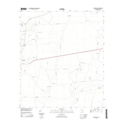
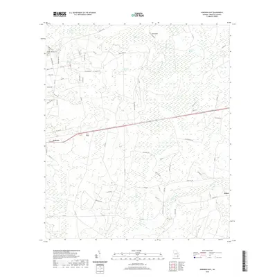
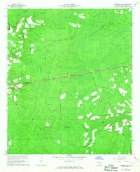 1966 Hoboken East1967 Print · USGSBrantley County at the midpoint of the sixties is a landscape of vast wetlands and rising timberlands bisected by heavy rail. Genealogists and local historians can trace the straight-line path of the Atlantic Coast Line connecting Hoboken and Hickox near landmarks like Trail Ridge.2 unique versions available
 - 1967 Map of Hoboken West, 1969 Print
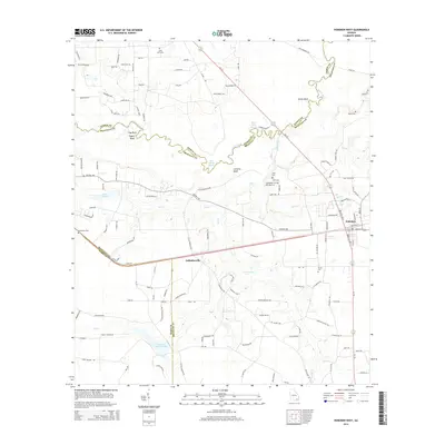
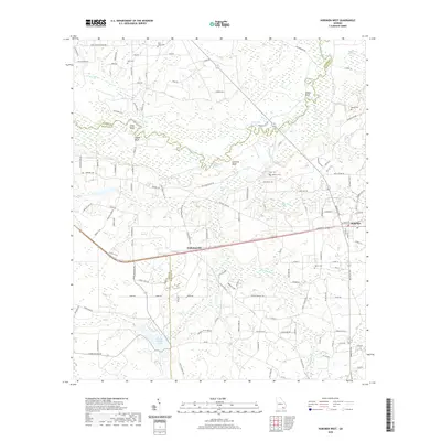
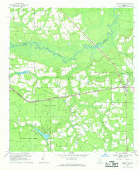 1967 Hoboken West1969 Print · USGSBrantley and Ware counties are shown in the late 1960s, a period defined by the timber industry and the railroad's path through the pine flatwoods. Genealogists can trace family names through numerous rural landmarks like Thrift Cem, St Johns Ch, and the community of Schlatterville.2 unique versions available
 - 1978 Map of Waycross, 1982 Print
 1978 Waycross1982 Print · USGSSoutheast Georgia in the late seventies is a landscape of vast wetlands and busy rail junctions. Genealogists and local historians can trace the Seaboard Coast Line through rural stops like Millwood and Pearson or locate family sites near the Okefenokee Swamp.
 - 1988 Map of Waycross
 1988 Waycross1988 Print · USGSSouth Georgia's wiregrass and timber country is documented here in the late eighties, centered on the vital rail junction of Waycross. Genealogists and historians can trace the rural landscape from Okefenokee up to the Ocmulgee, finding sites like Lumber City and Jefferson Davis Memorial State Park.
 - 2011 Map of Hoboken East, 2011 Print
 2011 Hoboken East2011 Print · USGSCovers Hoboken, including Brantley County, United States, and other nearby areas
 - 2011 Map of Hoboken West, 2011 Print
 2011 Hoboken West2011 Print · USGSCovers Hoboken, including Schlatterville, Ware County, and other nearby areas
 - 2014 Map of Hoboken East, 2014 Print
 2014 Hoboken East2014 Print · USGSCovers Hoboken, including Brantley County, United States, and other nearby areas
 - 2014 Map of Hoboken West, 2014 Print
 2014 Hoboken West2014 Print · USGSCovers Hoboken, including Schlatterville, Ware County, and other nearby areas
 - 2017 Map of Hoboken East, 2017 Print
 2017 Hoboken East2017 Print · USGSCovers Hoboken, including Brantley County, United States, and other nearby areas
 - 2017 Map of Hoboken West, 2017 Print
 2017 Hoboken West2017 Print · USGSCovers Hoboken, including Schlatterville, Ware County, and other nearby areas
 - 2020 Map of Hoboken West, 2020 Print
 2020 Hoboken West2020 Print · USGSCovers Hoboken, including Schlatterville, Ware County, and other nearby areas
 - 2020 Map of Hoboken East, 2020 Print
 2020 Hoboken East2020 Print · USGSCovers Hoboken, including Brantley County, United States, and other nearby areas
 - 2024 Map of Hoboken East, 2024 Print
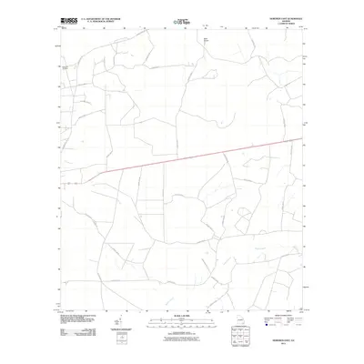
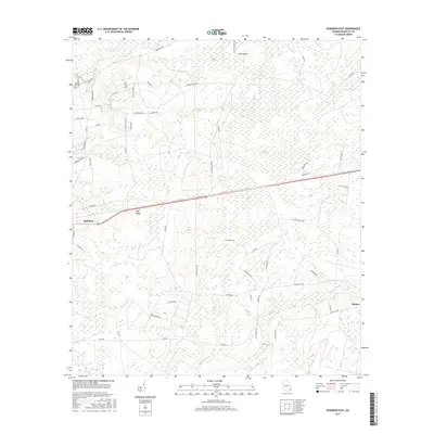
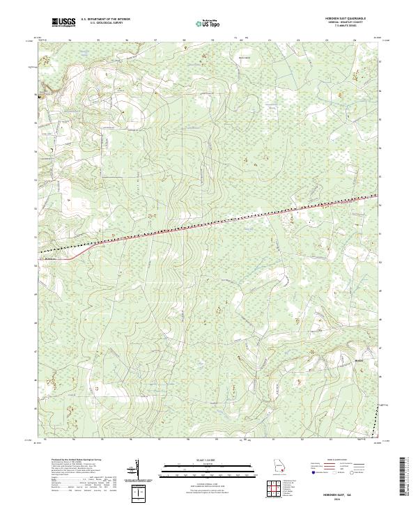 2024 Hoboken East2024 Print · USGSBrantley County maintains its rural character in the 2020s, defined by the persistent geography of the southern wetlands. Researchers can trace family names and local routes through the region, finding landmarks like Spring Hill Cem, Hoboken, and the Buffalo Creek drainage.
 - 2024 Map of Hoboken West, 2024 Print
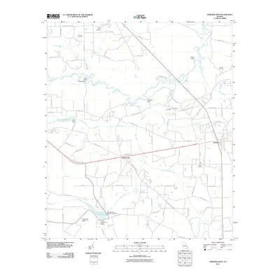
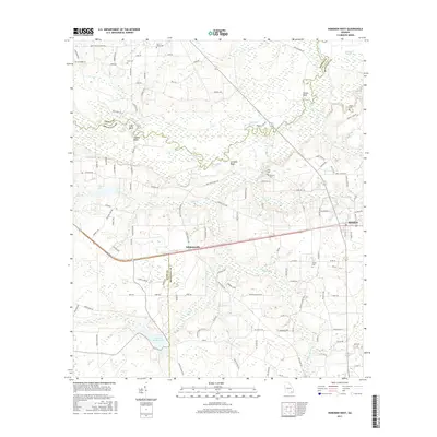
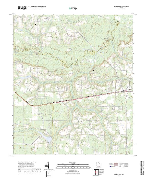 2024 Hoboken West2024 Print · USGSThe Satilla River basin in Brantley and Pierce counties reveals a landscape shaped by water and family-named homesteads in recent years. Researchers can trace rural lineages at Enon Cem, Martin Cem, and the historic settlement of Schlatterville.
End of results
Showing maps 1-16 of 16
Top cities near Hoboken
- Waycross historical maps
- Blackshear historical maps
- Nahunta historical maps
- Patterson historical maps
- Offerman historical maps
Frequently asked questions
- What are the different types of historical maps available for Hoboken?
- What is the oldest map of Hoboken?
- Where can I purchase historical maps of Hoboken for my home or office?
- Where can I download high-res historical maps of Hoboken?
- Are there historical topographic maps available for Hoboken?
- Is there historical aerial imagery available for Hoboken?
- Where are historical maps of Hoboken sourced from?