2020s Maps of Brooks County, Georgia
Explore 30 historic maps of Brooks County from the 2020s. These maps offer a rare glimpse into what life looked like during the 2020s — showing old roads, neighborhoods, homes, and landmarks that have changed or disappeared over time.
Whether you're researching your family's past, planning a metal detecting trip, or studying how Brooks County's landscape evolved across the 2020s, these high-resolution maps are a powerful tool for exploring the history of this region.
- Focus on a specific era: All maps on this page are from the 2020s, giving you a focused view of this time period.
- See what’s changed: Compare century-old streets, trails, and buildings to today's modern landscape using overlays and satellite layers.
- Research with precision: Use these maps for genealogy, historical research, land use analysis, or educational projects.
- View, download, or print: Maps are fully viewable online in high resolution, and can be downloaded or printed for your own records.
Start exploring Brooks County's history through authentic maps from the 2020s. This is your window into the past.
Brooks County, GA maps
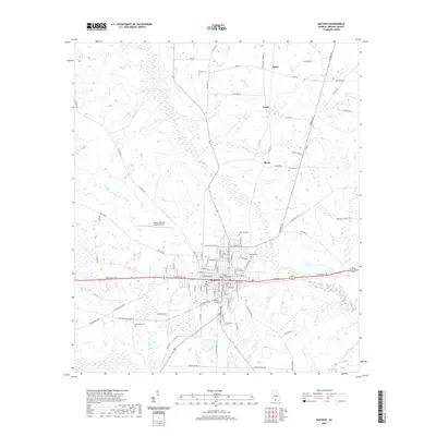
(30)- 2020 Map of Ousley, 2020 Print
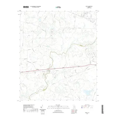 2020 Ousley2020 Print · USGSCovers Brooks County, including Blue Springs, Lowndes County, and other nearby areas
 - 2020 Map of Dixie, 2020 Print
 2020 Dixie2020 Print · USGSCovers Brooks County, including Dixie, Oaklawn, and other nearby areas
 - 2020 Map of Clyattville, 2020 Print
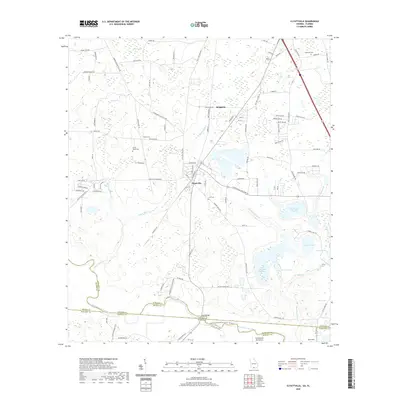 2020 Clyattville2020 Print · USGSCovers Brooks County, including Old Clyattville, Briggston, and other nearby areas
 - 2020 Map of Hahira East, 2020 Print
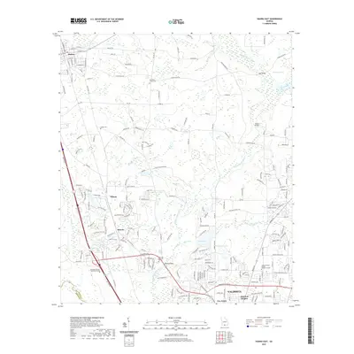 2020 Hahira East2020 Print · USGSCovers Brooks County, including Valdosta, Hahira, and other nearby areas
 - 2020 Map of Valdosta, 2020 Print
 2020 Valdosta2020 Print · USGSCovers Brooks County, including Valdosta, Remerton, and other nearby areas
 - 2020 Map of Quitman, 2020 Print
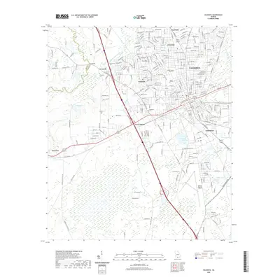
 2020 Quitman2020 Print · USGSCovers Brooks County, including Quitman, Spain, and other nearby areas
 - 2020 Map of Pavo, 2020 Print
 2020 Pavo2020 Print · USGSCovers Brooks County, including Hollis, Pavo, and other nearby areas
 - 2020 Map of Pebble Hill, 2020 Print
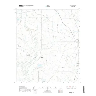 2020 Pebble Hill2020 Print · USGSCovers Brooks County, including Morven, Pebble Hill, and other nearby areas
 - 2020 Map of Grooverville, 2020 Print
 2020 Grooverville2020 Print · USGSCovers Brooks County, including Piscola, Grooverville, and other nearby areas
 - 2020 Map of Nankin, 2020 Print
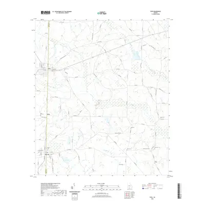
 2020 Nankin2020 Print · USGSCovers Brooks County, including Nankin, Lowndes County, and other nearby areas
 - 2020 Map of Hahira West, 2020 Print
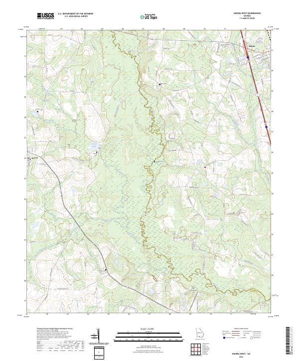
 2020 Hahira West2020 Print · USGSCovers Brooks County, including Hahira, Morven, and other nearby areas
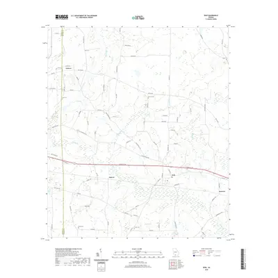
 - 2020 Map of Baden, 2020 Print
 2020 Baden2020 Print · USGSCovers Brooks County, including Baden, Lovett, and other nearby areas
 - 2020 Map of Berlin East, 2020 Print
 2020 Berlin East2020 Print · USGSCovers Brooks County, including Berlin, Old Rock Hill, and other nearby areas
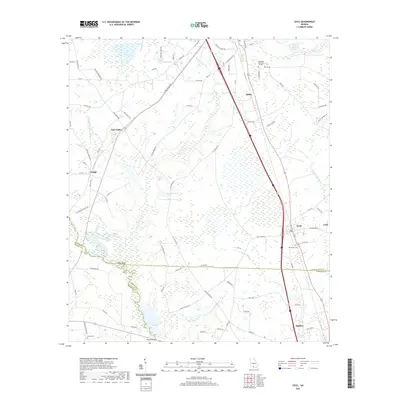
 - 2020 Map of Cecil, 2020 Print
 2020 Cecil2020 Print · USGSCovers Brooks County, including Adel, Hahira, and other nearby areas
 - 2020 Map of Berlin West, 2020 Print
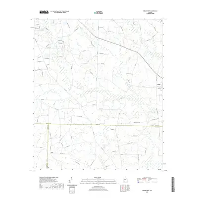 2020 Berlin West2020 Print · USGSCovers Brooks County, including Moultrie, Berlin, and other nearby areas
 - 2024 Map of Berlin East, 2024 Print
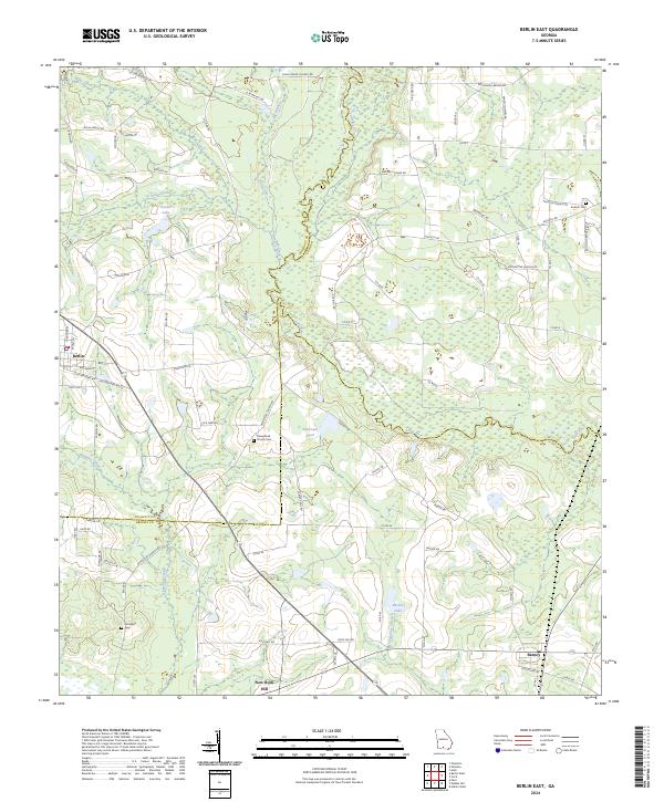 2024 Berlin East2024 Print · USGSThe crossroads of Brooks and Colquitt Counties are mapped in this modern survey of south-central Georgia. Local researchers can trace family roots through landmarks like Hempstead Church Cem, the settlement of Barney, and Strickland Cem near New Rock Hill.
 - 2024 Map of Berlin West, 2024 Print
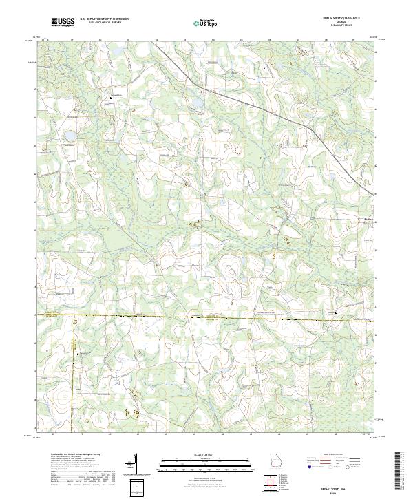 2024 Berlin West2024 Print · USGSCoastal plain agriculture and quiet country settlements define this Georgia landscape where three counties meet. Genealogists can trace family roots at the Indian Creek Primitive Baptist Church or find burial sites at Prosperity Cem and Hopewell Cem.
 - 2024 Map of Dixie, 2024 Print
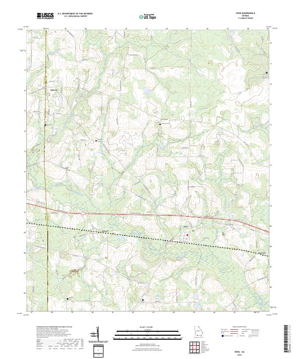 2024 Dixie2024 Print · USGSThe rural borderlands of Brooks and Thomas counties are captured here in the contemporary era. Genealogists and local historians can locate numerous small burial sites like Evergreen Cem and Groover Cem near settlements such as Pidcock and Dixie.
 - 2024 Map of Grooverville, 2024 Print
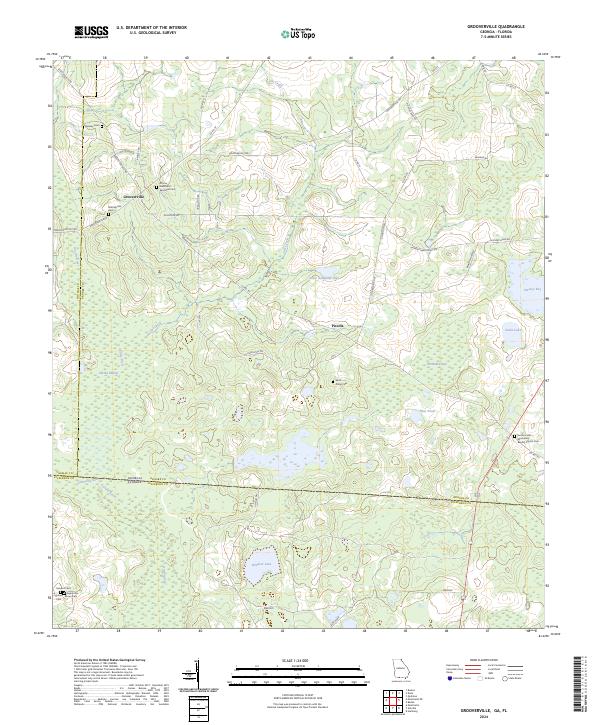 2024 Grooverville2024 Print · USGSGeorgia's southern borderlands near Grooverville are captured here in the 2020s, showing a landscape shaped by rural farmsteads and deep swamp drainage. Researchers can locate numerous historic burial sites such as Grooverville Cem, Sanders Cem, and Faglie Cem.
 - 2024 Map of Quitman, 2024 Print
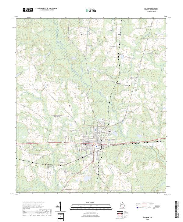 2024 Quitman2024 Print · USGSBrooks County, Georgia, is centered on the town of Quitman in this recent survey, showcasing its blend of municipal structure and rural Southern heritage. Genealogists can locate family burial plots and historic congregations at Oak Hill Cem, Rogers Cem, and Bethlehem Primitive Baptist Church.
 - 2024 Map of Baden, 2024 Print
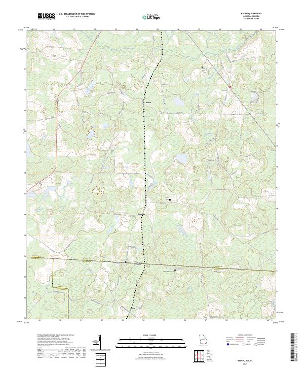 2024 Baden2024 Print · USGSThe Georgia-Florida borderlands come into focus in this recent survey of the rural landscape between Brooks, Madison, and Jefferson counties. Genealogists can trace family footprints across several sites like Pineview Cem and the small settlement of Empress.
 - 2024 Map of Hahira West, 2024 Print
 2024 Hahira West2024 Print · USGSCoastal plain farmland and timber tracts define the border between Brooks and Lowndes counties in this modern study. Genealogists can locate legacy sites like Corinth Cem and Rizer Cem tucked between Hahira and the Little River.
 - 2024 Map of Valdosta, 2024 Print
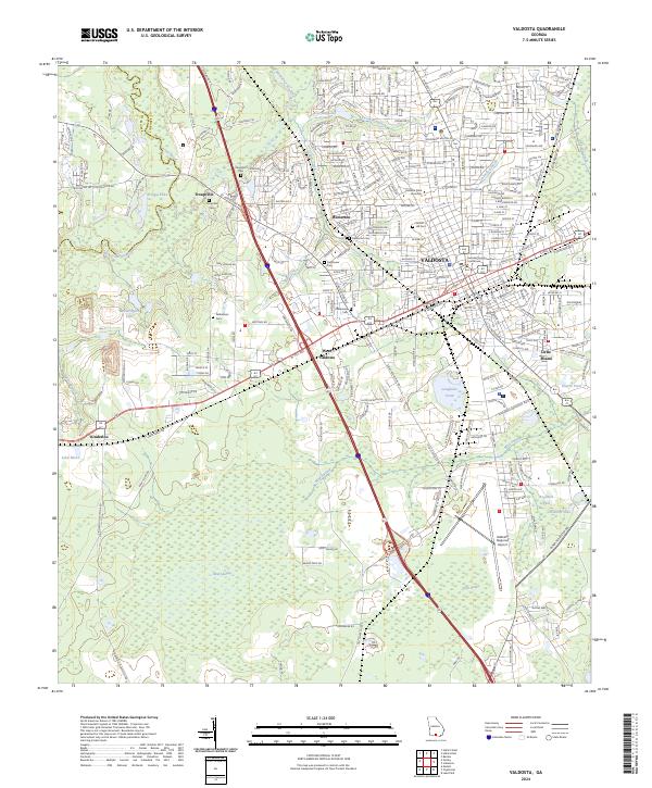 2024 Valdosta2024 Print · USGSValdosta and its surrounding Lowndes County landscape are shown here in the mid-2020s, centered on the historic seat and the university campus. Researchers can trace the legacy of early settlements at Troupville and locate local landmarks like Sunset Hill Cem and the Lowndes County Courthouse.
 - 2024 Map of Hahira East, 2024 Print
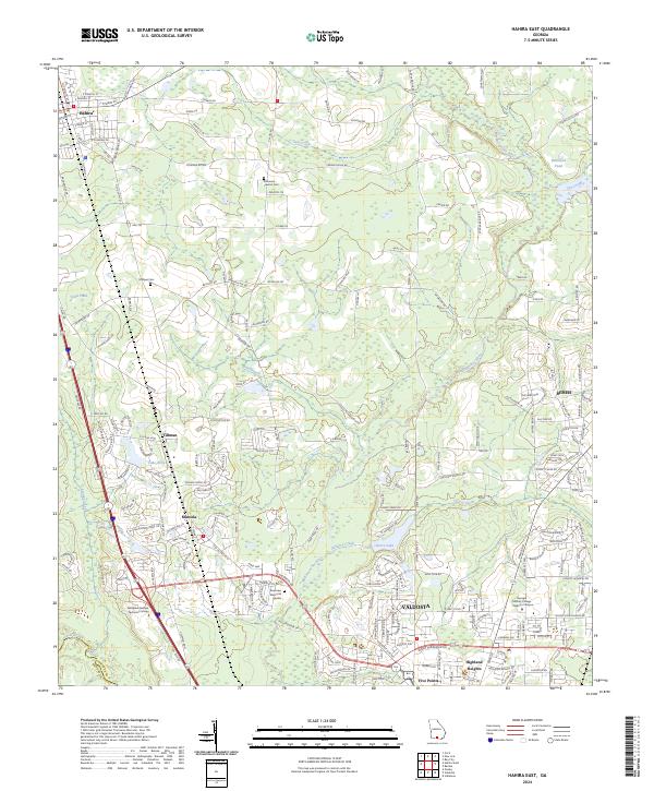 2024 Hahira East2024 Print · USGSNorthern Lowndes County shows its contemporary landscape as Valdosta expands toward Hahira in the 2020s. Researchers can locate family landmarks like Passmore - Lawson Cem and Hodges Cem or trace the winding Withlacoochee River.
 - 2024 Map of Pebble Hill, 2024 Print
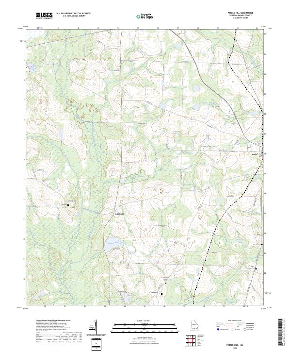 2024 Pebble Hill2024 Print · USGSBrooks County near the town of Morven is shown in this contemporary study of its rural landscape and water systems. Researchers can trace family history at Old Macedonia Cem, Kennedy Cem, and Mount Horeb Cem.
Showing maps 1-25 of 30
Top cities of Brooks County
Frequently asked questions
- What are the different types of historical maps available for Brooks County?
- What is the oldest map of Brooks County?
- Where can I purchase historical maps of Brooks County for my home or office?
- Where can I download high-res historical maps of Brooks County?
- Are there historical topographic maps available for Brooks County?
- Is there historical aerial imagery available for Brooks County?
- Where are historical maps of Brooks County sourced from?