Old Maps of Sardis, Georgia for Metal Detecting
Plan your next treasure hunt with 23 historic maps of Sardis. Find old homesites, ghost towns, trails, and gathering spots that may be lost to time — perfect for identifying promising metal detecting locations.
- Locate forgotten sites: Uncover places like long-lost settlements, abandoned rail lines, or gathering spots.
- Plan better hunts: Use map overlays combined with LiDAR or satellite views to narrow in on historically rich areas.
- Made for detectorists: Thousands of hobbyists use these maps to discover relics, coins, and hidden history.
Use these historic maps to boost your research and find new opportunities beneath the surface of Sardis.
Sardis, GA maps
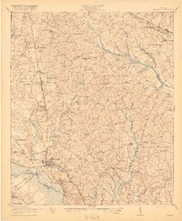
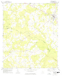
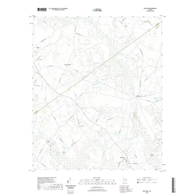
(23)- 1920 Map of Hilltonia
 1920 Hilltonia1920 Print · USGSScreven County and the Savannah River valley are captured here at the end of the Great War, showing a landscape defined by ferries and rail. Genealogists can trace family footprints at Lovetts Cemetery, Bascom School, and the riverfront at Burtons Ferry.4 unique versions available
 - 1920 Map of Millen
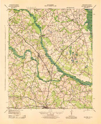
 1920 Millen1920 Print · USGSJenkins County at the start of the twenties shows a landscape defined by the Ogeechee River and the busy rail junction at Millen. Genealogists can trace family footprints across dozens of rural landmarks like Old McCoy Church, Walker Academy, and Magnolia Spring.2 unique versions available
 - 1943 Map of Hilltonia
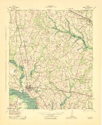
 1943 Hilltonia1943 Print · USGSScreven County settlements and Savannah River landings are meticulously documented in this mid-century survey. Genealogists can trace family landmarks like Lovetts Cemetery, Rock Hill Sch, and Antioch Ch across the rural landscape.
 - 1943 Map of Millen
 1943 Millen1943 Print · USGSEastern Georgia during the Second World War remains a landscape of remote rail junctions and country schools. Genealogists can trace family roots through numerous sites like Walker Academy, Old Fort Lawton, and the settlements of Munnerlyn and Perkins.
 - 1943 Map of Millen
 1943 Millen1943 Print · USGSEastern Georgia during the early 1940s is shown here as a network of rail-side towns and river landings. Genealogists and local historians can locate many rural landmarks including Habersham Sch, Lovetts Cemetery, and the river crossing at Burtons Ferry.
 - 1947 Map of Savannah
 1947 Savannah1947 Print · USGSCoastal Georgia and South Carolina are captured here in the mid-forties, showing the rail-and-river networks of the Lowcountry. Genealogists and researchers can trace old crossroads and river towns from Statesboro to Beaufort, alongside military sites like Camp Stewart and Parris Island.
 - 1948 Map of Savannah
 1948 Savannah1948 Print · USGSThe Georgia and South Carolina Lowcountry comes alive in this post-war survey of the coast and its river-fed hinterlands. Genealogists and historians can trace rail lines like the Central of Georgia RR and find established settlements such as Isle of Hope and Sylvania.
 - 1957 Map of Savannah, 1967 Print
 1957 Savannah1967 Print · USGSThe Lowcountry and Georgia coastal plain are shown here in the late fifties, prior to modern expansion. Researchers can trace the rail-and-river economy through the Central of Georgia lines and the Ogeechee River wetlands.4 unique versions available
 - 1960 Map of Savannah
 1960 Savannah1960 Print · USGSCoastal Georgia and the South Carolina Lowcountry are captured in the late fifties, showcasing the intricate web of islands and tidal rivers before modern expansion. Researchers can trace the rail lines of the Atlantic Coast Line or locate sites like Parris Island, Beaufort, and the Tybee Lighthouse.
 - 1961 Map of Savannah
 1961 Savannah1961 Print · USGSThe Georgia and South Carolina Lowcountry comes alive in this mid-century survey of coastal marshes, barrier islands, and river networks. Genealogists and historians can trace the paths of the Seaboard Air Line RR, locate family sites near Isle of Hope, or study the grounds of Fort Stewart Military Reservation.2 unique versions available
 - 1978 Map of Hilltonia
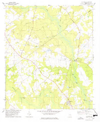 1978 Hilltonia1978 Print · USGSScreven County in the late 1970s is a landscape of rural crossroads and river landings along the winding Brier Creek. Genealogists can trace family and community roots through numerous local landmarks like Mt Pleasant Cem, Johnson Grove Ch, and the settlement of Hilltonia.
 - 1978 Map of Sardis
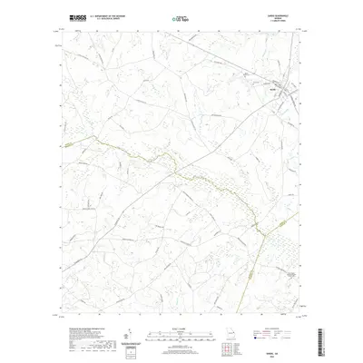
 1978 Sardis1978 Print · USGSSardis and the surrounding Burke County countryside are captured here in the late 1970s, reflecting a landscape of established rural churches and winding creeks. Researchers can locate family landmarks like Beech Branch Cem, Old McCoy Ch, and the small settlement at Brinson.
 - 1981 Map of Sylvania, 1982 Print
 1981 Sylvania1982 Print · USGSThe Georgia and South Carolina borderlands appear in the early 1980s, centered on the river-fed swamps and railroad towns between Sylvania and Estill. Trace family roots and vanished infrastructure along the Central of Georgia line or near Magnolia Springs State Park.
 - 2011 Map of Hilltonia, 2011 Print
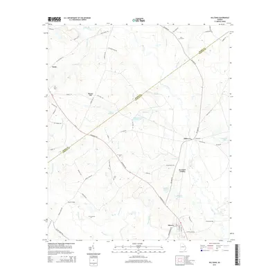
 2011 Hilltonia2011 Print · USGSCovers Sardis, including Hiltonia, Murray Hill, and other nearby areas
 - 2011 Map of Sardis, 2011 Print
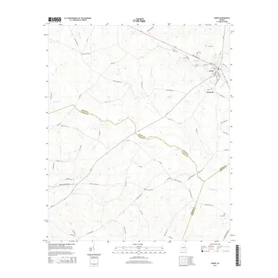
 2011 Sardis2011 Print · USGSCovers Sardis, including Old Sardis, Burke County, and other nearby areas
 - 2014 Map of Sardis, 2014 Print
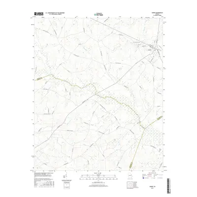
 2014 Sardis2014 Print · USGSCovers Sardis, including Old Sardis, Burke County, and other nearby areas
 - 2014 Map of Hilltonia, 2014 Print
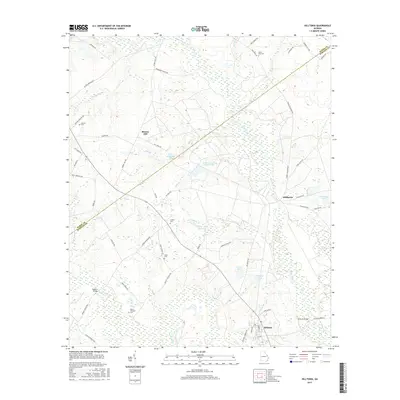
 2014 Hilltonia2014 Print · USGSCovers Sardis, including Hiltonia, Murray Hill, and other nearby areas
 - 2017 Map of Hilltonia, 2017 Print
 2017 Hilltonia2017 Print · USGSCovers Sardis, including Hiltonia, Murray Hill, and other nearby areas
 - 2017 Map of Sardis, 2017 Print
 2017 Sardis2017 Print · USGSCovers Sardis, including Old Sardis, Burke County, and other nearby areas
 - 2020 Map of Hilltonia, 2020 Print
 2020 Hilltonia2020 Print · USGSCovers Sardis, including Hiltonia, Murray Hill, and other nearby areas
 - 2020 Map of Sardis, 2020 Print
 2020 Sardis2020 Print · USGSCovers Sardis, including Old Sardis, Burke County, and other nearby areas
 - 2024 Map of Hilltonia, 2024 Print
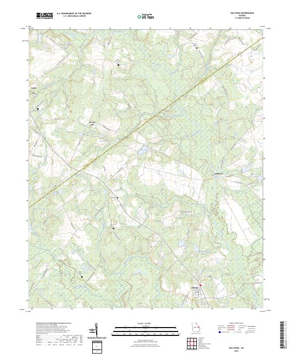 2024 Hilltonia2024 Print · USGSScreven and Burke Counties appear in this modern survey as a landscape of rural crossroads and historical family lands. Genealogists can trace local heritage through many sites like Old McCaannan Cem, Hurst Cem, and the settlement at Millhaven.
 - 2024 Map of Sardis, 2024 Print
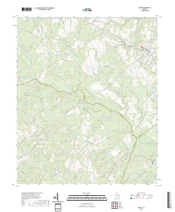 2024 Sardis2024 Print · USGSSardis and the rural borders of Burke and Jenkins counties are captured here in the 2020s. Genealogists can trace family footprints at Beech Branch Baptist Church Cemetery and Sardis Baptist Church along the winding Beaverdam Creek.
End of results
Showing maps 1-23 of 23
Top cities near Sardis
- Millen historical maps
- Sylvania historical maps
- Hiltonia historical maps
- Girard historical maps
- Perkins historical maps
Frequently asked questions
- What are the different types of historical maps available for Sardis?
- What is the oldest map of Sardis?
- Where can I purchase historical maps of Sardis for my home or office?
- Where can I download high-res historical maps of Sardis?
- Are there historical topographic maps available for Sardis?
- Is there historical aerial imagery available for Sardis?
- Where are historical maps of Sardis sourced from?