2000s (21st Century) Maps of Flea Hill, Georgia
Explore 6 historic maps of Flea Hill from the 2000s (21st Century). These maps offer a rare glimpse into what life looked like during the 2000s — showing old roads, neighborhoods, homes, and landmarks that have changed or disappeared over time.
Whether you're researching your family's past, planning a metal detecting trip, or studying how Flea Hill's landscape evolved across the 2000s, these high-resolution maps are a powerful tool for exploring the history of this region.
- Focus on a specific era: All maps on this page are from the 2000s, giving you a focused view of this time period.
- See what’s changed: Compare century-old streets, trails, and buildings to today's modern landscape using overlays and satellite layers.
- Research with precision: Use these maps for genealogy, historical research, land use analysis, or educational projects.
- View, download, or print: Maps are fully viewable online in high resolution, and can be downloaded or printed for your own records.
Start exploring Flea Hill's history through authentic maps from the 2000s. This is your window into the past.
Flea Hill, GA maps
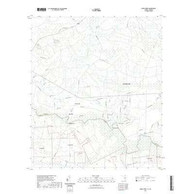
(6)- 2011 Map of Kings Ferry, 2011 Print
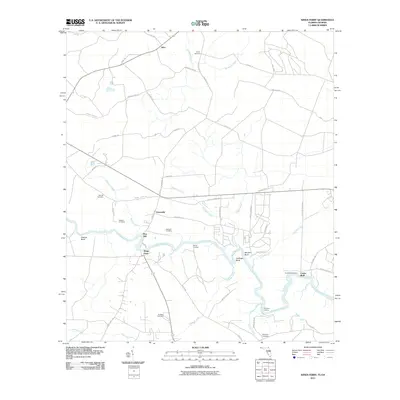 2011 Kings Ferry2011 Print · USGSCovers Flea Hill, including Kingsland, Clarks Bluff, and other nearby areas
 - 2012 Map of Kings Ferry, 2012 Print
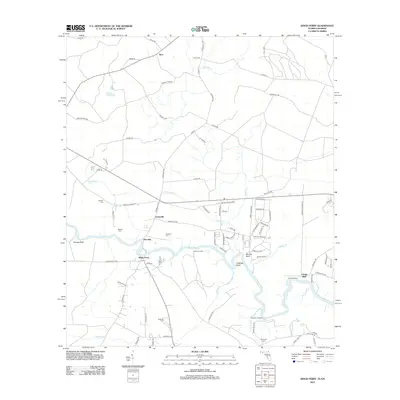 2012 Kings Ferry2012 Print · USGSCovers Flea Hill, including Kingsland, Clarks Bluff, and other nearby areas
 - 2015 Map of Kings Ferry, 2015 Print
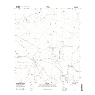 2015 Kings Ferry2015 Print · USGSCovers Flea Hill, including Kingsland, Clarks Bluff, and other nearby areas
 - 2018 Map of Kings Ferry, 2018 Print
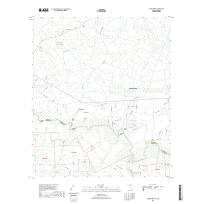 2018 Kings Ferry2018 Print · USGSCovers Flea Hill, including Kingsland, Clarks Bluff, and other nearby areas
 - 2021 Map of Kings Ferry, 2021 Print
 2021 Kings Ferry2021 Print · USGSCovers Flea Hill, including Kingsland, Clarks Bluff, and other nearby areas
 - 2024 Map of Kings Ferry, 2024 Print
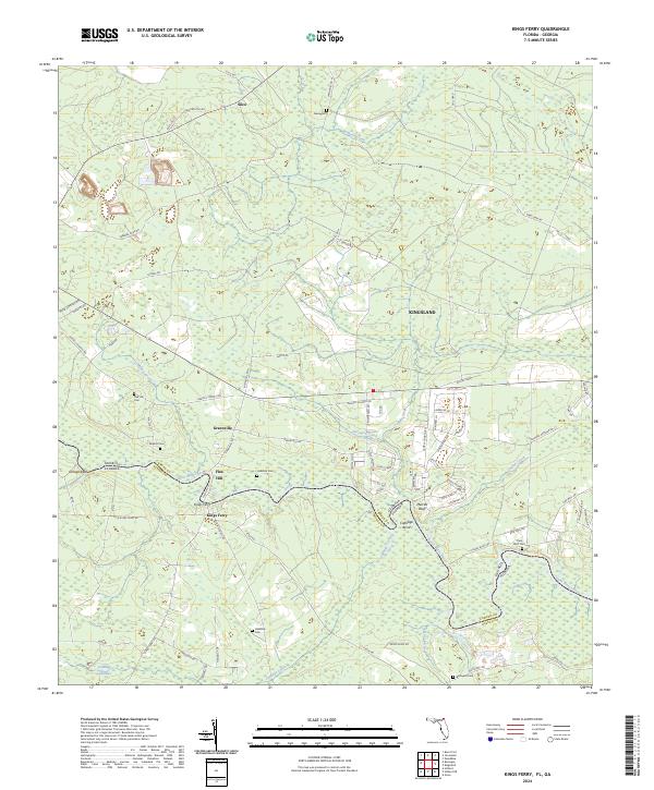 2024 Kings Ferry2024 Print · USGSThe Florida-Georgia borderlands along the Saint Marys River are mapped here in the modern era, showing a landscape defined by historic river crossings and rural settlements. Researchers can trace family names at Haddock Cem and Mallets Cem or locate old river landmarks like Orange Bluff.
End of results
Showing maps 1-6 of 6
Top cities near Flea Hill
- Jacksonville historical maps
- St. Marys historical maps
- Kingsland historical maps
- Folkston historical maps
- Hilliard historical maps
- Woodbine historical maps
See more
Frequently asked questions
- What are the different types of historical maps available for Flea Hill?
- What is the oldest map of Flea Hill?
- Where can I purchase historical maps of Flea Hill for my home or office?
- Where can I download high-res historical maps of Flea Hill?
- Are there historical topographic maps available for Flea Hill?
- Is there historical aerial imagery available for Flea Hill?
- Where are historical maps of Flea Hill sourced from?