2020s Maps of Carrollton, Georgia
Explore 6 historic maps of Carrollton from the 2020s. These maps offer a rare glimpse into what life looked like during the 2020s — showing old roads, neighborhoods, homes, and landmarks that have changed or disappeared over time.
Whether you're researching your family's past, planning a metal detecting trip, or studying how Carrollton's landscape evolved across the 2020s, these high-resolution maps are a powerful tool for exploring the history of this region.
- Focus on a specific era: All maps on this page are from the 2020s, giving you a focused view of this time period.
- See what’s changed: Compare century-old streets, trails, and buildings to today's modern landscape using overlays and satellite layers.
- Research with precision: Use these maps for genealogy, historical research, land use analysis, or educational projects.
- View, download, or print: Maps are fully viewable online in high resolution, and can be downloaded or printed for your own records.
Start exploring Carrollton's history through authentic maps from the 2020s. This is your window into the past.
Carrollton, GA maps
(6)- 2020 Map of Carrollton, 2020 Print
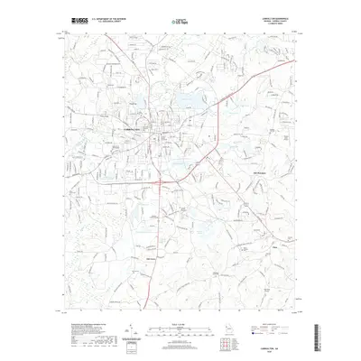 2020 Carrollton2020 Print · USGSCovers Carrollton, including Fairlawn Estates, Curtis, and other nearby areas
 - 2020 Map of Bowdon East, 2020 Print
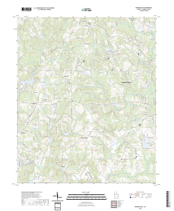
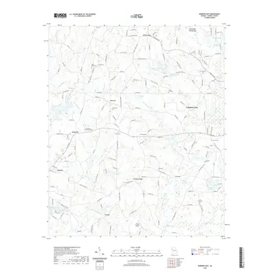 2020 Bowdon East2020 Print · USGSCovers Carrollton, including Bowdon, Mount Zion, and other nearby areas
 - 2020 Map of Temple, 2020 Print
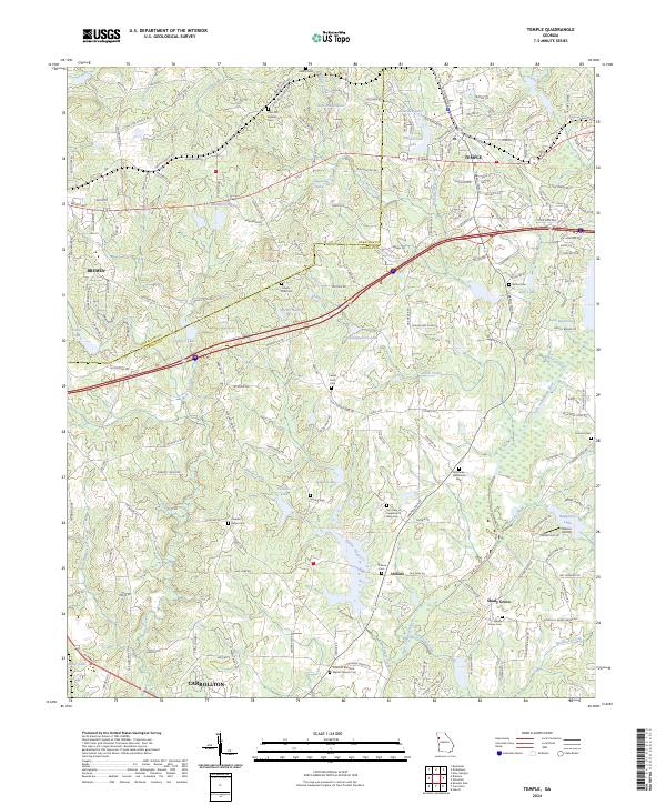
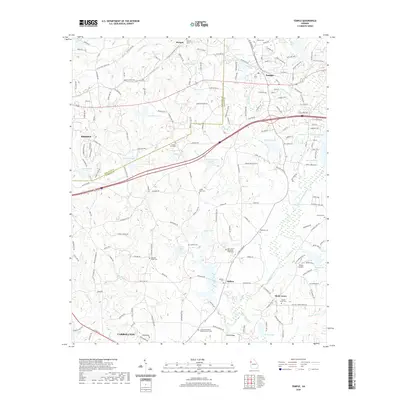 2020 Temple2020 Print · USGSCovers Carrollton, including Bremen, Morgan, and other nearby areas
 - 2024 Map of Carrollton, 2024 Print
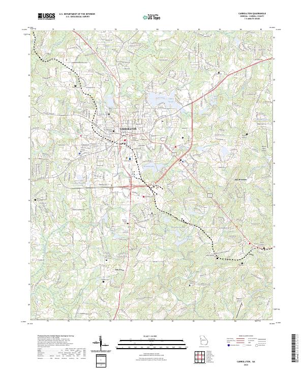 2024 Carrollton2024 Print · USGSCarrollton and its surrounding countryside are captured here in the twenty-first century, showing the expansion of the University of West Georgia and the city's residential growth. Genealogists can trace deep local roots through numerous community sites like Stripling Chapel Cem and the Carrollton City Cem.
 - 2024 Map of Temple, 2024 Print
 2024 Temple2024 Print · USGSThe West Georgia corridor between Haralson and Carroll counties comes alive in this contemporary record of its small towns and rural settlements. Genealogists can trace numerous family burial sites like Zion Hill Baptist Cem and Abilene Cem or locate Wilson Airstrip along the local creek networks.
 - 2024 Map of Bowdon East, 2024 Print
 2024 Bowdon East2024 Print · USGSThe area east of Bowdon in Carroll County shows a landscape of rural crossroads and community churches. Genealogists can locate family landmarks like Smith Chapel Cem, Farmers High, and the Little Tallapoosa River.
End of results
Showing maps 1-6 of 6
Top cities near Carrollton
- Villa Rica historical maps
- Bremen historical maps
- Tallapoosa historical maps
- Bowdon historical maps
- Mount Zion historical maps
- Buchanan historical maps
See more
Top neighborhoods of Carrollton
- Riverbend historical maps
- Lamplighter Square historical maps
- Briarwood Estates historical maps
- Holly Heights historical maps
- Land-O-Plenty Subdivision historical maps
Frequently asked questions
- What are the different types of historical maps available for Carrollton?
- What is the oldest map of Carrollton?
- Where can I purchase historical maps of Carrollton for my home or office?
- Where can I download high-res historical maps of Carrollton?
- Are there historical topographic maps available for Carrollton?
- Is there historical aerial imagery available for Carrollton?
- Where are historical maps of Carrollton sourced from?