Old Maps of Clinch County, Georgia
Explore 43 old maps of Clinch County, spanning from 1953 to today. These high-resolution historic maps reveal how streets, neighborhoods, landmarks, and natural features evolved over time — perfect for genealogy, metal detecting, research, and local history exploration.
What you can do with these maps:
- See how Clinch County changed over time: Compare historical maps to modern-day views to trace roads, homesites, rail lines & more.
- View detailed metadata: Each map includes creators, publishers, year, scale, and archive source.
- Overlay maps with satellite & LiDAR: Visualize the past alongside modern tools to explore terrain & human change.
- Trusted historical sources: Maps sourced from the USGS, Library of Congress, and other archives.
- Access maps your way: View online, download high-res files, or order prints for personal or research use.
Start exploring old maps of Clinch County to uncover forgotten places, hidden landmarks, and the deep history beneath your feet.
Clinch County, GA maps
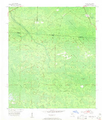
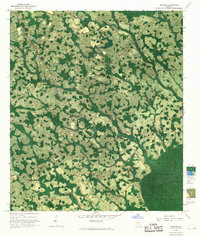
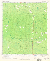
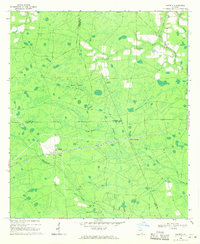
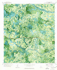
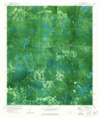
(43)- 1953 Map of Waycross, 1967 Print
 1953 Waycross1967 Print · USGSCovers Clinch County, including Tifton, Moultrie, and other nearby areas2 unique versions available
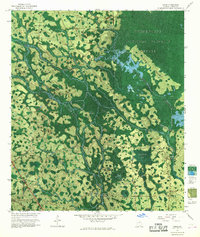
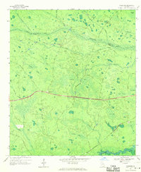
 - 1954 Map of Valdosta, 1967 Print
 1954 Valdosta1967 Print · USGSCovers Clinch County, including Jacksonville, Valdosta, and other nearby areas2 unique versions available
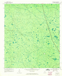
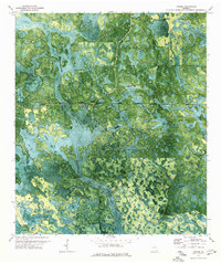
 - 1955 Map of Council, 1956 Print
 1955 Council1956 Print · USGSCovers Clinch County, including Council, Columbia County, and other nearby areas4 unique versions available
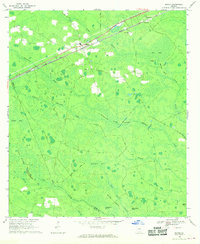
 - 1956 Map of Sargent, 1957 Print
 1956 Sargent1957 Print · USGSCovers Clinch County, including Rockvil, Columbia County, and other nearby areas
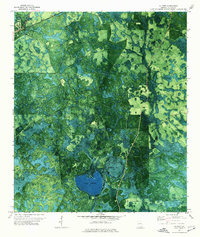
 - 1958 Map of Valdosta
 1958 Valdosta1958 Print · USGSCovers Clinch County, including Jacksonville, Valdosta, and other nearby areas
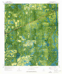
 - 1958 Map of Waycross
 1958 Waycross1958 Print · USGSCovers Clinch County, including Tifton, Moultrie, and other nearby areas2 unique versions available
 - 1959 Map of Valdosta
 1959 Valdosta1959 Print · USGSCovers Clinch County, including Jacksonville, Valdosta, and other nearby areas
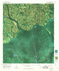
 - 1966 Map of The Pocket, 1967 Print
 1966 The Pocket1967 Print · USGSCovers Clinch County, including Ware County, Charlton County, and other nearby areas
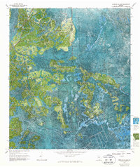
 - 1966 Map of Cravens Island, 1968 Print
 1966 Cravens Island1968 Print · USGSCovers Clinch County, including McLeods Mill, Hopkins, and other nearby areas
 - 1967 Map of Strange Island
 1967 Strange Island1967 Print · USGSCovers Clinch County, including Ware County, United States, and other nearby areas2 unique versions available
 - 1967 Map of Spooner, 1968 Print
 1967 Spooner1968 Print · USGSCovers Clinch County, including Jamestown, Spooner, and other nearby areas2 unique versions available
 - 1967 Map of Colon, 1968 Print
 1967 Colon1968 Print · USGSCovers Clinch County, including Colon, Williamsburg, and other nearby areas
 - 1967 Map of Sargent, 1968 Print
 1967 Sargent1968 Print · USGSCovers Clinch County, including Rockvil, Columbia County, and other nearby areas
 - 1967 Map of Fargo, 1969 Print
 1967 Fargo1969 Print · USGSCovers Clinch County, including Fargo, Edith, and other nearby areas2 unique versions available
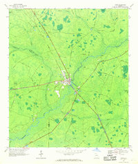
 - 1968 Map of Homerville East, 1969 Print
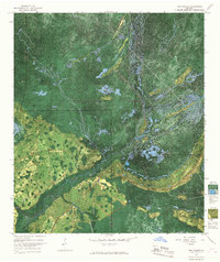
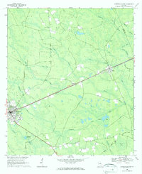 1968 Homerville East1969 Print · USGSCovers Clinch County, including Homerville, Argyle, and other nearby areas3 unique versions available
 - 1968 Map of Midway, 1970 Print
 1968 Midway1970 Print · USGSCovers Clinch County, including Chauncey, Magnolia, and other nearby areas
 - 1968 Map of Needmore, 1970 Print
 1968 Needmore1970 Print · USGSCovers Clinch County, including Needmore, Echols County, and other nearby areas2 unique versions available
 - 1968 Map of Headlight, 1970 Print
 1968 Headlight1970 Print · USGSCovers Clinch County, including Ernest, United States, and other nearby areas2 unique versions available
 - 1968 Map of Manor, 1970 Print
 1968 Manor1970 Print · USGSCovers Clinch County, including Glenmore, Manor, and other nearby areas2 unique versions available
 - 1968 Map of Cogdell, 1970 Print
 1968 Cogdell1970 Print · USGSCovers Clinch County, including Hinson Crossing, Cogdell, and other nearby areas2 unique versions available
 - 1971 Map of Thelma, 1976 Print
 1971 Thelma1976 Print · USGSCovers Clinch County, including Fruitland, Echols County, and other nearby areas
 - 1971 Map of Du Pont, 1976 Print
 1971 Du Pont1976 Print · USGSCovers Clinch County, including Du Pont, United States, and other nearby areas
 - 1971 Map of Stockton, 1976 Print
 1971 Stockton1976 Print · USGSCovers Clinch County, including Du Pont, Stockton, and other nearby areas
 - 1971 Map of Pineland, 1976 Print
 1971 Pineland1976 Print · USGSCovers Clinch County, including Pineland, Echols County, and other nearby areas
 - 1971 Map of Haylow, 1976 Print
 1971 Haylow1976 Print · USGSCovers Clinch County, including Haylow, Withers, and other nearby areas
Showing maps 1-25 of 43
Top cities of Clinch County
- Homerville historical maps
- Fargo historical maps
- Argyle historical maps
- Du Pont historical maps
- Ernest historical maps
Frequently asked questions
- What are the different types of historical maps available for Clinch County?
- What is the oldest map of Clinch County?
- Where can I purchase historical maps of Clinch County for my home or office?
- Where can I download high-res historical maps of Clinch County?
- Are there historical topographic maps available for Clinch County?
- Is there historical aerial imagery available for Clinch County?
- Where are historical maps of Clinch County sourced from?