Old Maps of Ambrose, Georgia for Academic Research
Study the evolution of Ambrose with 17 high-resolution historic maps. Whether you're teaching, researching, or modeling changes in land use, these maps provide essential visual documentation of urban, environmental, and geographic change.
- Analyze long-term change: Track patterns in development, transportation, and natural features.
- Ideal for environmental or urban studies: Support academic projects with primary historical map data.
- Use in the classroom or lab: Educators and researchers rely on these maps to bring historical context to life.
These maps are a powerful tool for teaching, research, and visualizing how Ambrose has changed over the decades.
Ambrose, GA maps
(17)- 1953 Map of Waycross, 1967 Print
 1953 Waycross1967 Print · USGSSouth Georgia's agricultural and rail heartland is captured here in the mid-1950s, showing a vast network of timber and farming towns. Researchers can trace the rail lines connecting Waycross and Tifton or locate landmarks like Jefferson Davis State Park and Lake Blackshear.2 unique versions available
 - 1958 Map of Waycross
 1958 Waycross1958 Print · USGSSoutheast Georgia in the late fifties remains a landscape of deep river basins and vital rail junctions. Genealogists and historians can trace family-named landmarks and rural hubs like Union Church, South Georgia College, and the sprawling Okefenokee Swamp.2 unique versions available
 - 1972 Map of Ambrose, 1977 Print
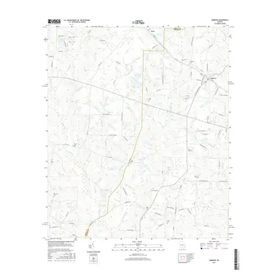
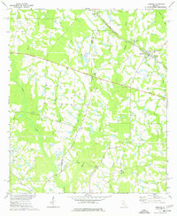 1972 Ambrose1977 Print · USGSThe rural landscapes of Coffee and Irwin Counties come into focus in the early 1970s as the Seaboard Coast Line railroad passes through Ambrose and Wray. Genealogists can trace family roots at New Hope Ch, Satilla Ch, and through landmarks like Smith Cem.
 - 1977 Map of Broxton South
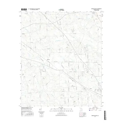
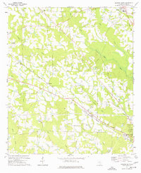 1977 Broxton South1977 Print · USGSCoffee County in the late seventies reveals a rural landscape defined by the Seaboard Coast Line and small farming hubs. Genealogists can locate several family landmarks, including Day Cem, Salem Ch, and the old community at Bushnell.
 - 1979 Map of Hazlehurst, 1980 Print
 1979 Hazlehurst1980 Print · USGSSoutheast Georgia in the late seventies is defined by the convergence of major rail lines and river basins in Jeff Davis and Appling counties. Genealogists and local historians can trace the development of Hazlehurst and Baxley alongside features like the Pine Grove Pipeline and the Altamaha River wetlands.
 - 1981 Map of Cordele, 1982 Print
 1981 Cordele1982 Print · USGSSouth Georgia’s agricultural heartland is documented here in the early eighties, showing the convergence of the Seaboard Coast Line Railroad and the Georgia Southern and Florida lines. Genealogists and researchers can trace local landmarks like Bowens Mill Pond, the University of Georgia Research Center, and the shores of Lake Blackshear.
 - 1988 Map of Waycross
 1988 Waycross1988 Print · USGSSouth Georgia's wiregrass and timber country is documented here in the late eighties, centered on the vital rail junction of Waycross. Genealogists and historians can trace the rural landscape from Okefenokee up to the Ocmulgee, finding sites like Lumber City and Jefferson Davis Memorial State Park.
 - 2011 Map of Broxton South, 2011 Print
 2011 Broxton South2011 Print · USGSCovers Ambrose, including Douglas, Broxton, and other nearby areas
 - 2011 Map of Ambrose, 2011 Print
 2011 Ambrose2011 Print · USGSCovers Ambrose, including Wray, Coffee County, and other nearby areas
 - 2014 Map of Ambrose, 2014 Print
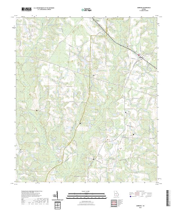
 2014 Ambrose2014 Print · USGSCovers Ambrose, including Wray, Coffee County, and other nearby areas
 - 2014 Map of Broxton South, 2014 Print
 2014 Broxton South2014 Print · USGSCovers Ambrose, including Douglas, Broxton, and other nearby areas
 - 2017 Map of Broxton South, 2017 Print
 2017 Broxton South2017 Print · USGSCovers Ambrose, including Douglas, Broxton, and other nearby areas
 - 2017 Map of Ambrose, 2017 Print
 2017 Ambrose2017 Print · USGSCovers Ambrose, including Wray, Coffee County, and other nearby areas
 - 2020 Map of Broxton South, 2020 Print
 2020 Broxton South2020 Print · USGSCovers Ambrose, including Douglas, Broxton, and other nearby areas
 - 2020 Map of Ambrose, 2020 Print
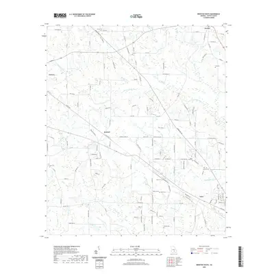
 2020 Ambrose2020 Print · USGSCovers Ambrose, including Wray, Coffee County, and other nearby areas
 - 2024 Map of Ambrose, 2024 Print
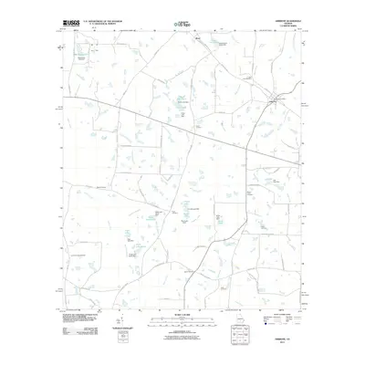
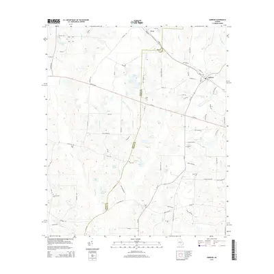
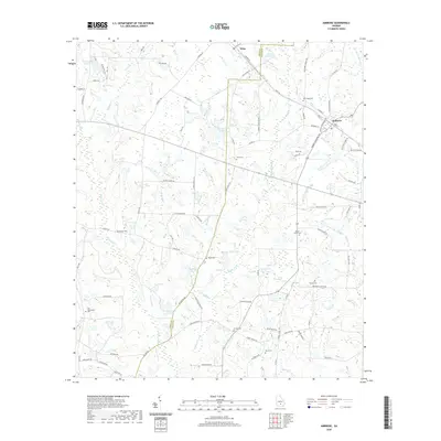
 2024 Ambrose2024 Print · USGSCoastal Plain farmsteads and rural communities define this South Georgia landscape near the Irwin and Coffee county line. Genealogists can trace family landmarks and burial sites like Mount Union Cem, Lax Community Cem, and the settlement of Ambrose.
 - 2024 Map of Broxton South, 2024 Print
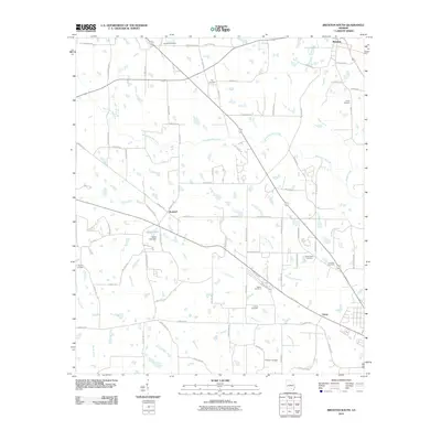
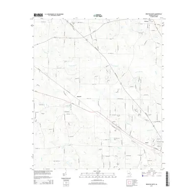
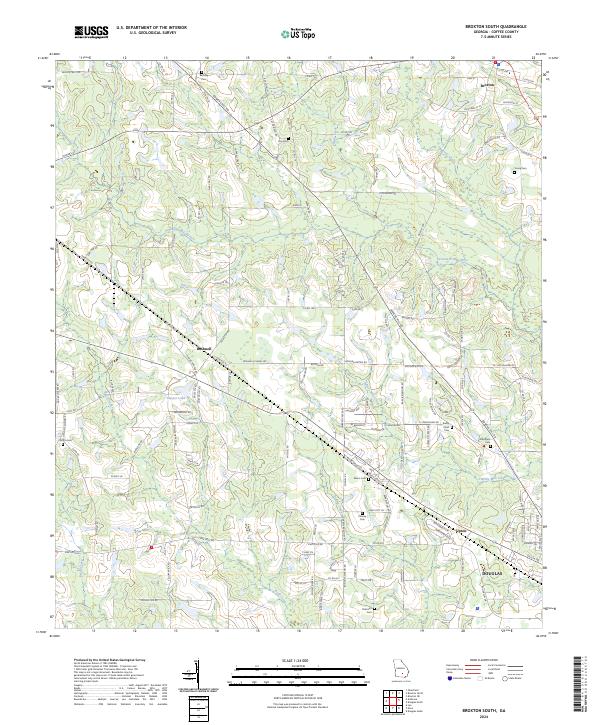 2024 Broxton South2024 Print · USGSCoffee County in the early twenty-first century reveals a landscape defined by winding rivers and a dense network of country roads. Genealogists can locate family landmarks such as Bethany Cem, Grantham Cem, and the small community of Bushnell.
End of results
Showing maps 1-17 of 17
Top cities near Ambrose
- Douglas historical maps
- Ocilla historical maps
- Broxton historical maps
- Alapaha historical maps
- Jacksonville historical maps
Frequently asked questions
- What are the different types of historical maps available for Ambrose?
- What is the oldest map of Ambrose?
- Where can I purchase historical maps of Ambrose for my home or office?
- Where can I download high-res historical maps of Ambrose?
- Are there historical topographic maps available for Ambrose?
- Is there historical aerial imagery available for Ambrose?
- Where are historical maps of Ambrose sourced from?